While camping at Douthat State Park, we decided to make a quick trip into the town of Clifton Forge to pick up some groceries and to look around. On a whim, we stopped by the C&O Railway Heritage Center, and our “quick trip” turned into an hours-long visit!
You can read about the Center on their website, https://cohs.org/heritage/, and I’ve posted our pictures here:
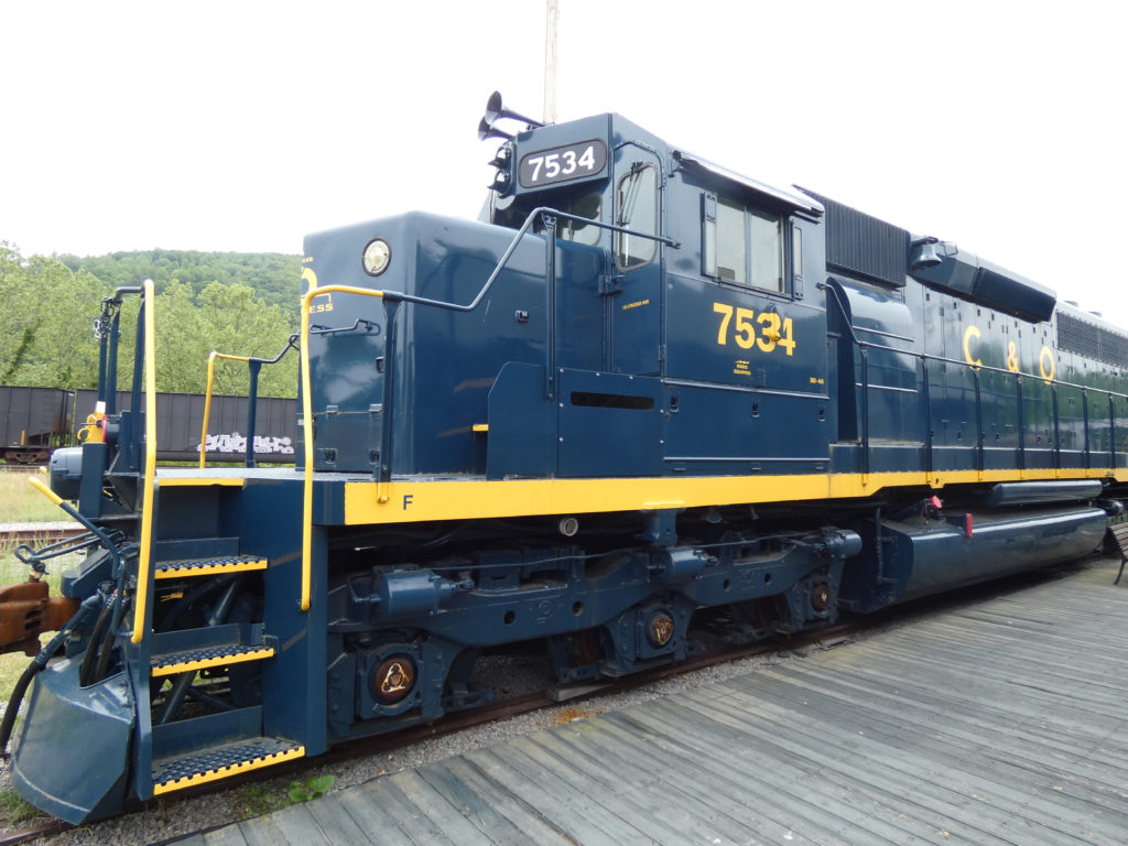
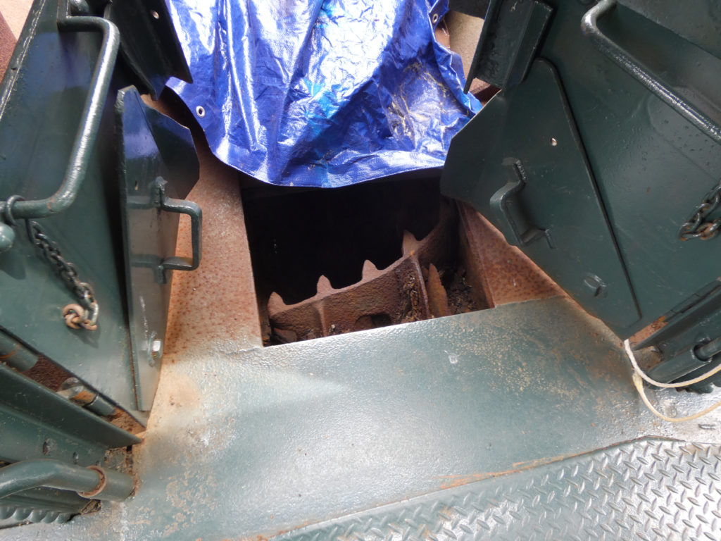
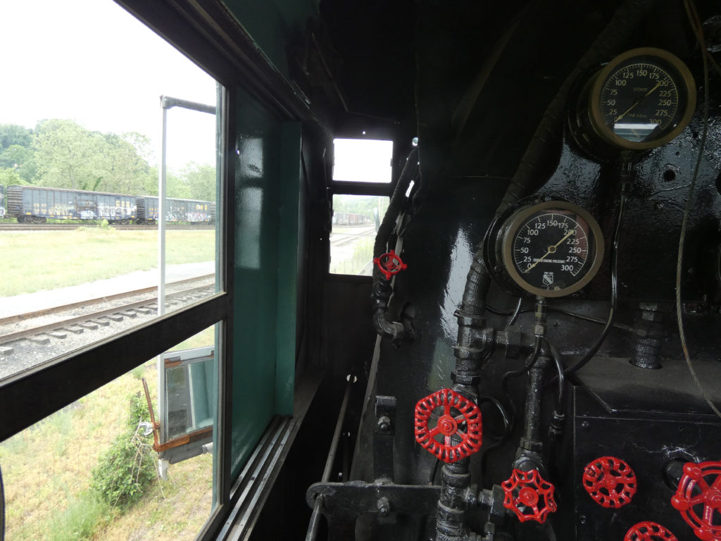
Locomotive 7534Train ride for childrenLocomotive 614The furnace was in the front. Coal was fed to the furnace through a “stoker.”Coal carStoker
Passenger car
Baggage car with a “LIVE CAT” carrierBaggage carKitchen in “Gadsby’s Tavern” dining car“Gadsby’s Tavern” dining car
Sleeper car – private roomSleeper car – bunk bedsSleeper car – sleeping berths along the hallwaySleeper car and private roomsBlue Caboose
Red Caboose
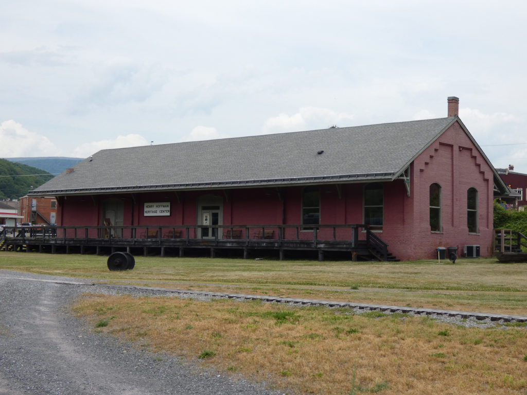
Former freight station, now a museum
Another look at Locomotive 614J.P. Morgan’s private car (currently not restored or open to the public)
We greatly enjoyed our visit to the C&O Railway Heritage Center!
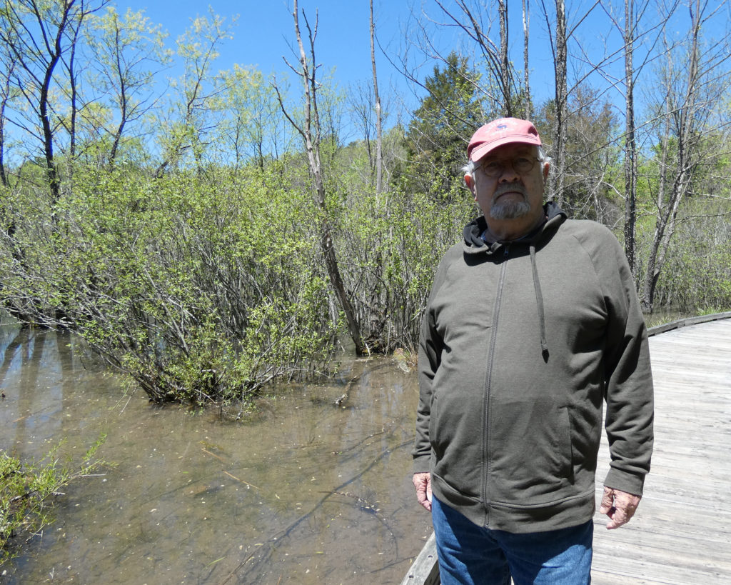
Augusta Springs Wetlands Park is south of Staunton, VA on Rt. 42. It offers an easy 2/3 mile trail through various habitats.
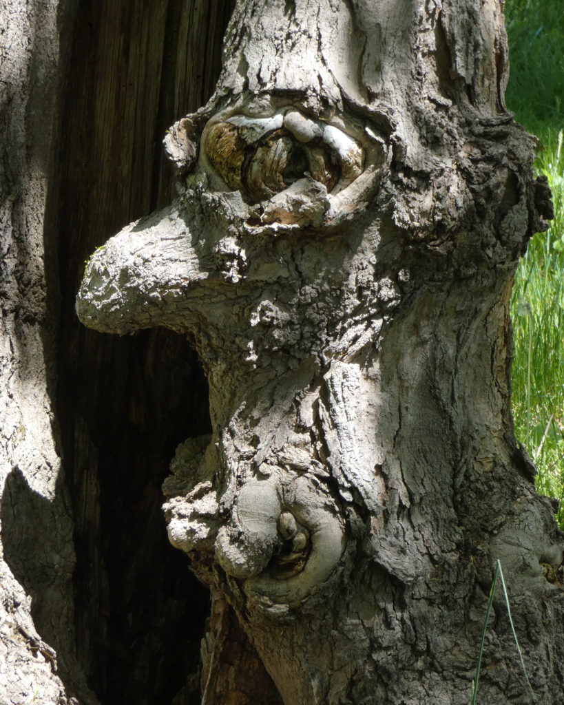
Tree creature at Augusta Springs Wetlands Park
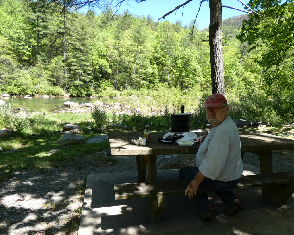
We left Augusta Springs Wetlands Park and continued south on Rt. 42 to the small town of Goshen, VA. We stopped at a gas station/convenience store for sandwiches and drinks, then drove on Rt. 39 to Goshen Pass where we had a picnic lunch.
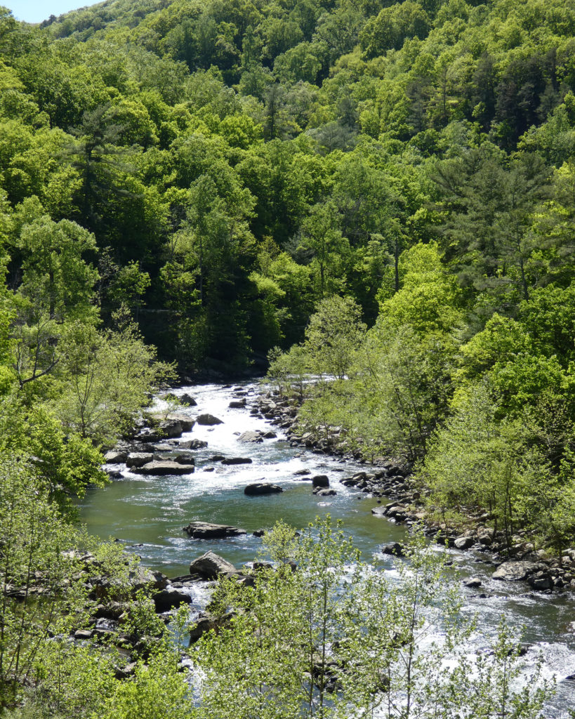
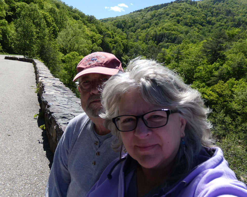
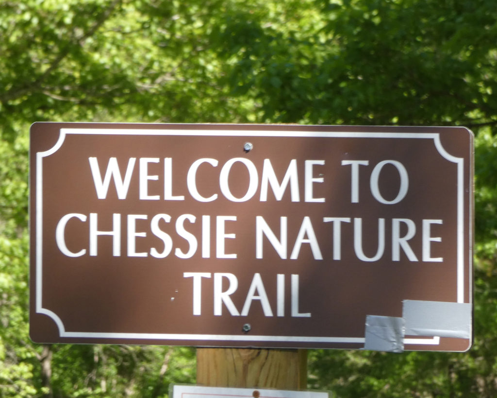
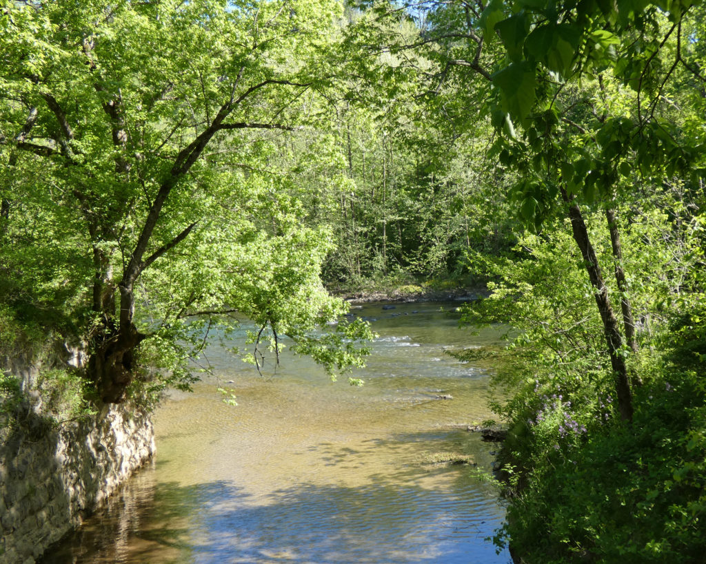
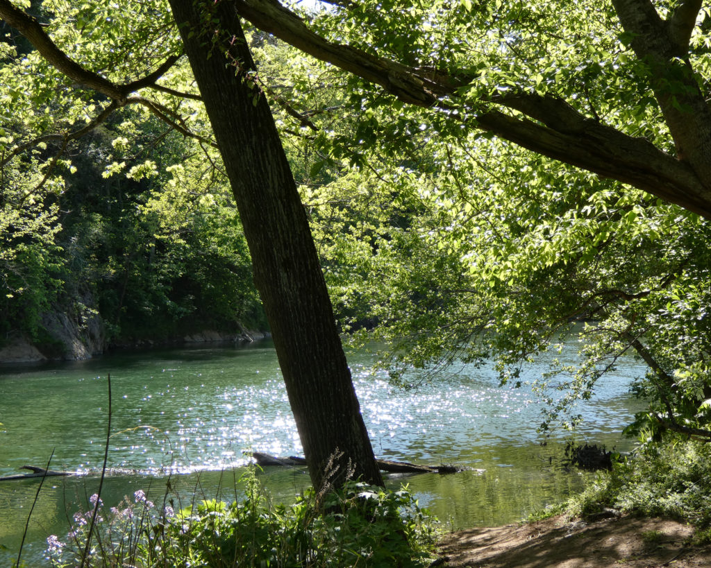
We continued on Rt. 39 towards Lexington, VA and the Chessie Nature Trail along the Maury River.
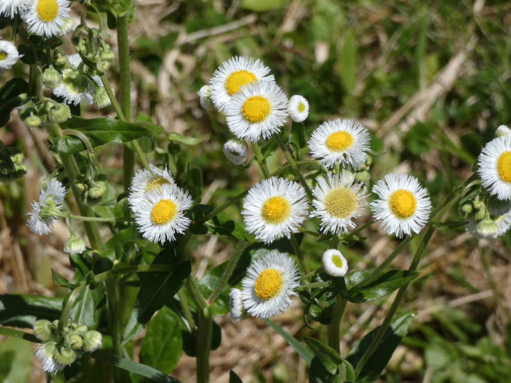
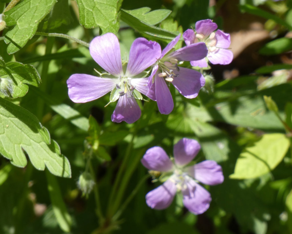
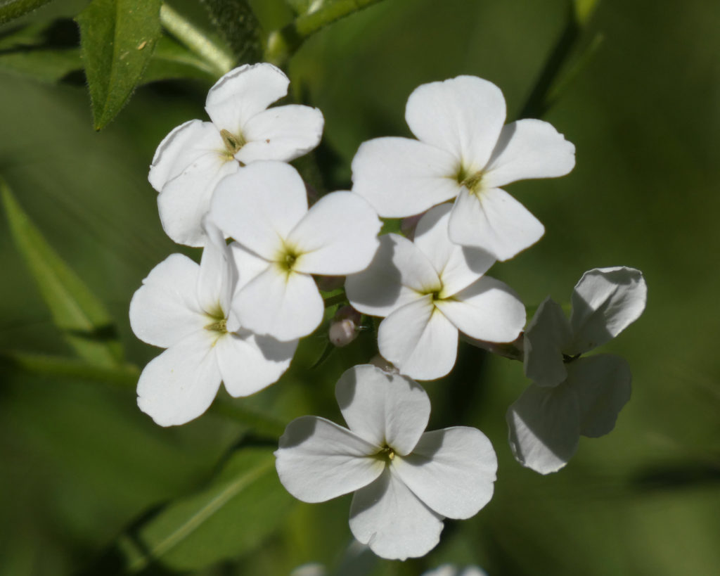
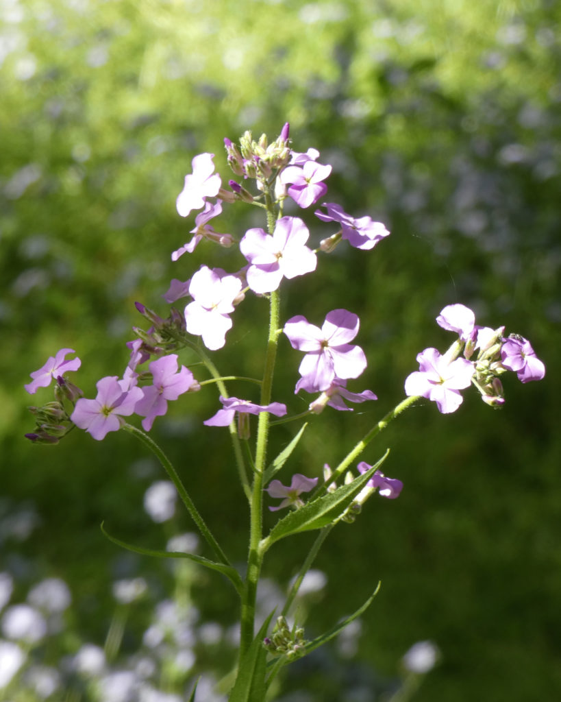
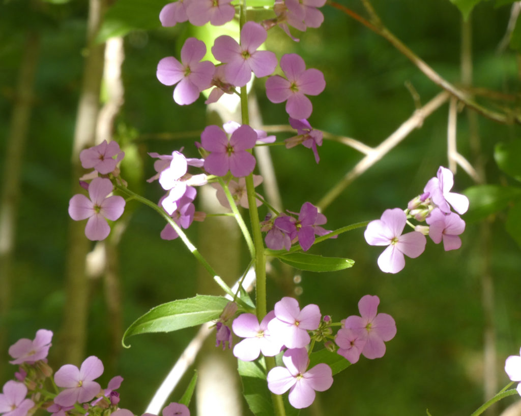
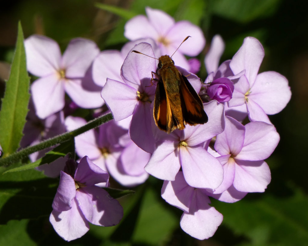
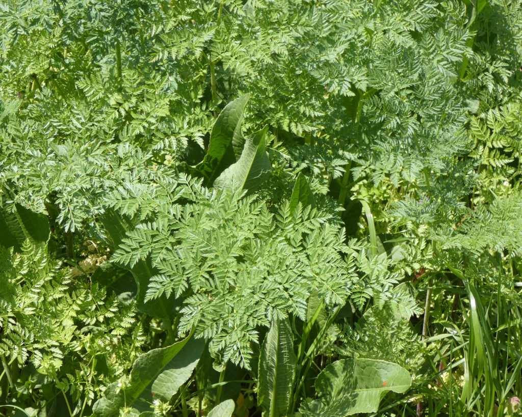
There were wildflowers all along the trail….
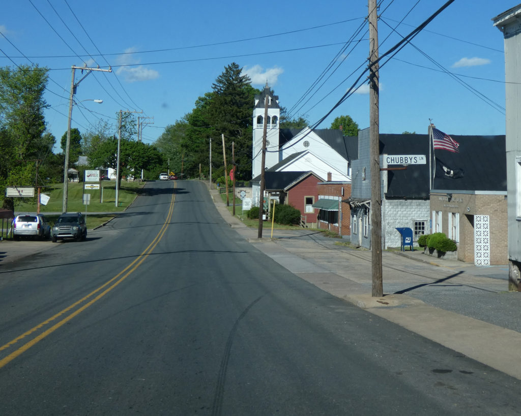
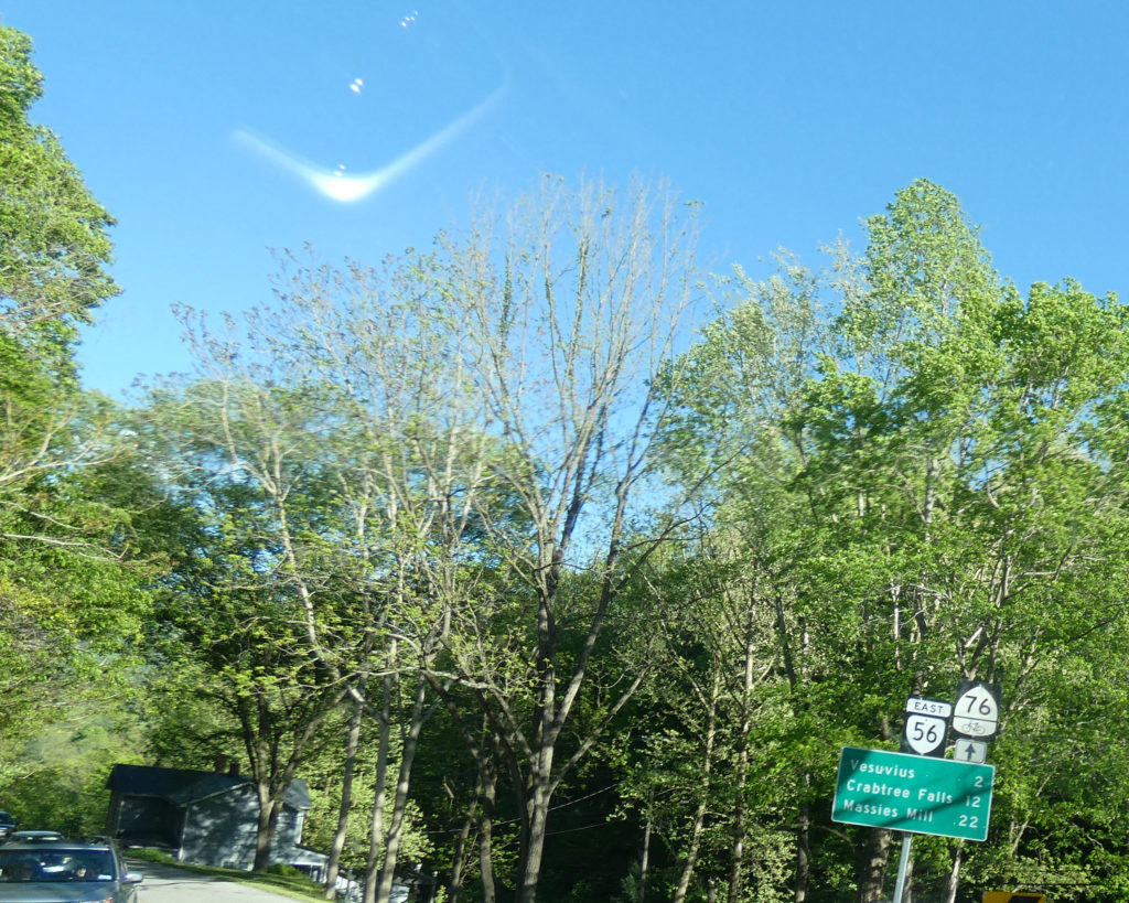
We left Lexington and passed through Fairfield, VA on Rt. 11 before turning onto Rt. 56 East at Steeles Tavern.
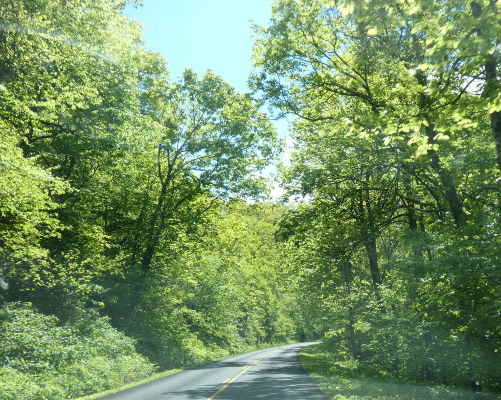
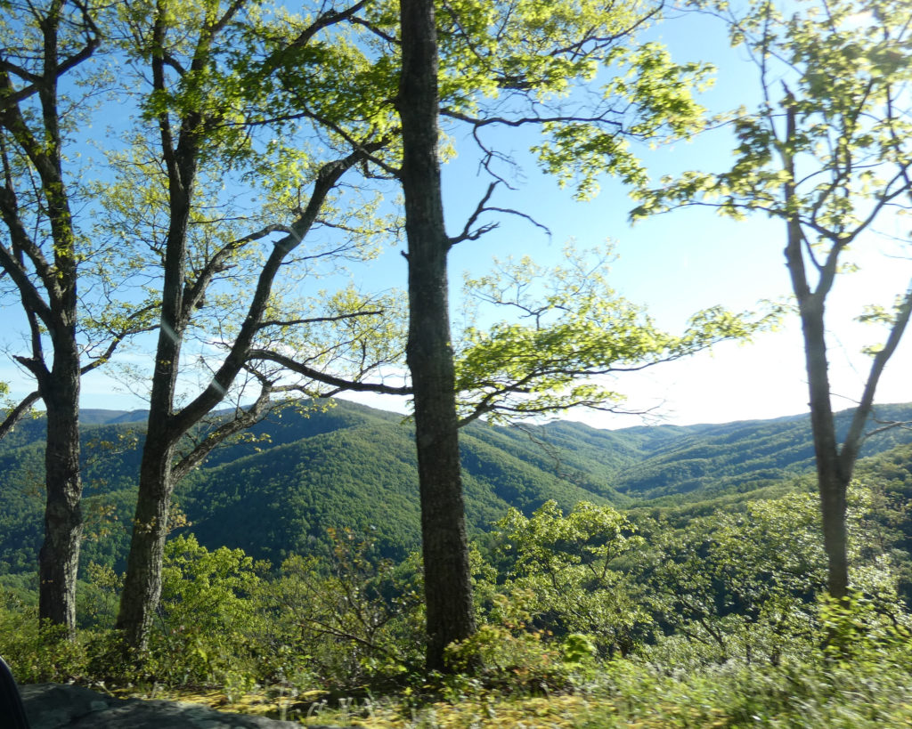
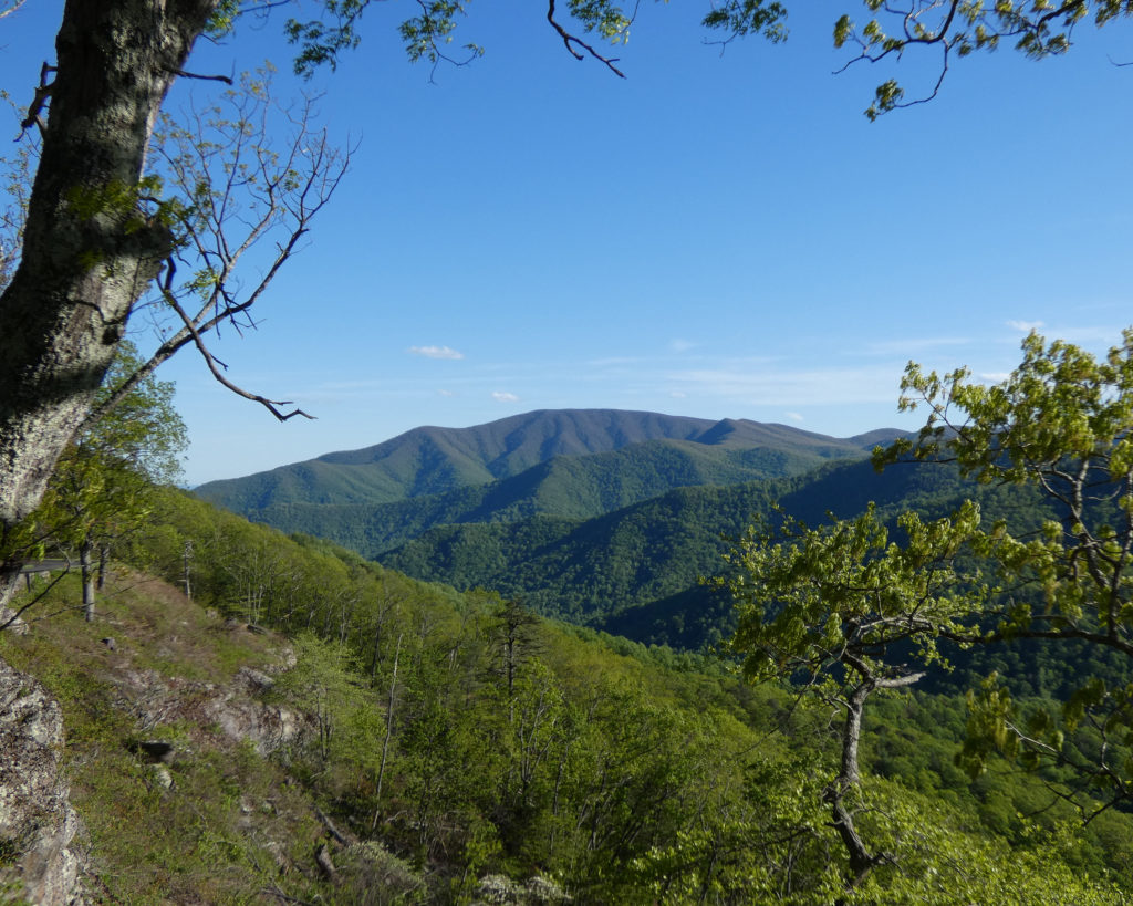
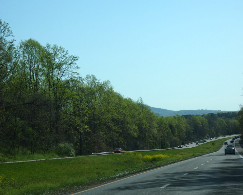
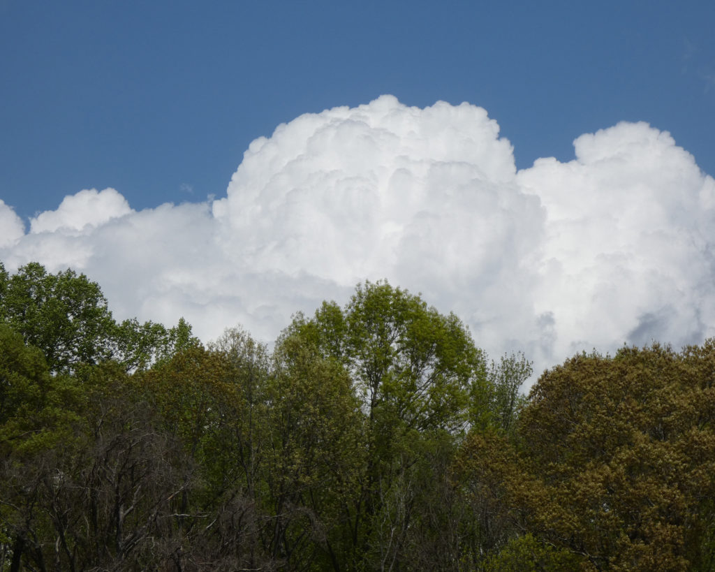
Rt. 56 is very steep and curvy as it leads to the top of a mountain.
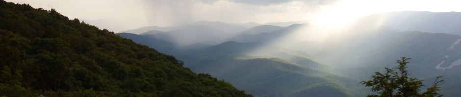
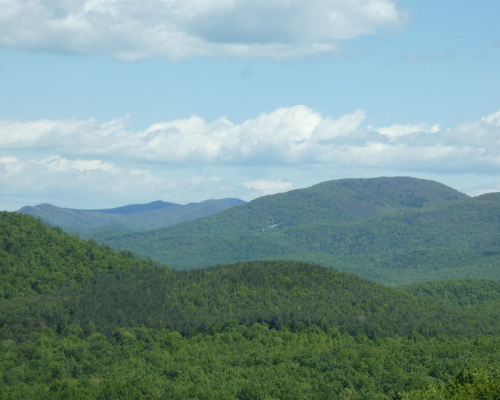
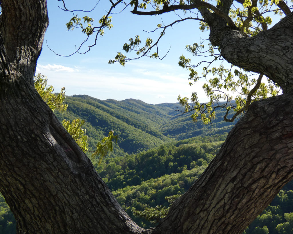
The Blue Ridge Parkway crosses Rt. 56 at the crest of the mountain. Always a favorite, we turned north on the Parkway.
We continued to meander, leaving the Parkway and coming home through the Rockfish Valley. What a beautiful day!
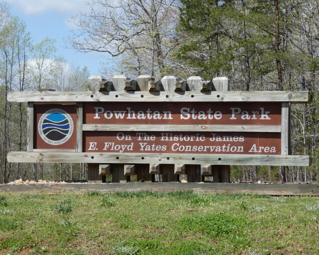
After doing a day trip to Powhatan State Park on the James River earlier in the month, we knew we wanted to camp there as soon as we could. A lot of campgrounds are booked solid on weekends, but when I checked reserveamerica.com towards the end of the week, two sites had opened up at Powhatan due to cancellations. Yay, I was able to make a reservation!
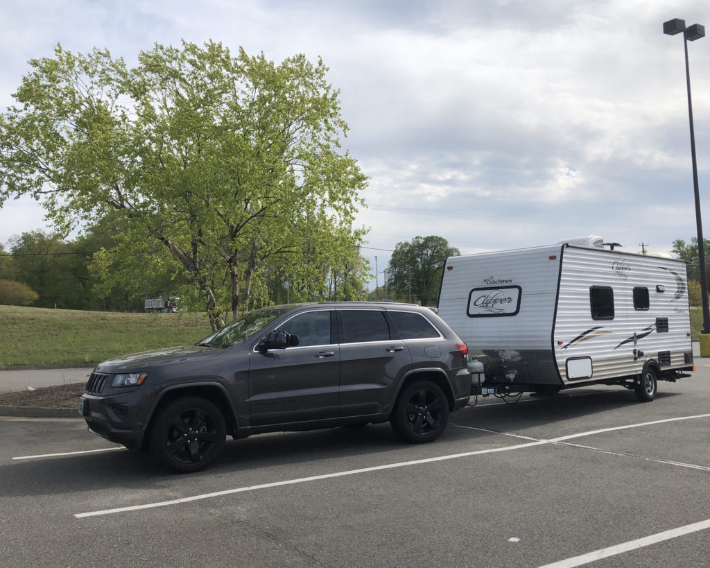
Friday, April 23rd was a crazy-busy day for both of us (made a bit crazier by planning to go camping!), but at the same time we were excited to get out! Fortunately, traffic on I-64 East wasn’t too bad for a Friday, and at the Gum Spring exit we turned onto Rt. 522 South. When we reached the small town of Goochland, we stopped at a Food Lion to pick up a few items we’d forgotten. This is somewhat typical for the first camping trip of the season. 😉
Next stop, Powhatan State Park and River Bend Campground!
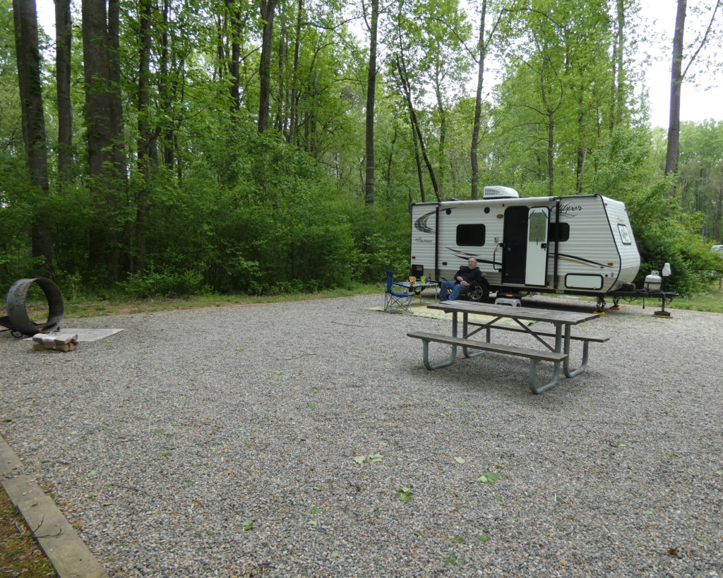
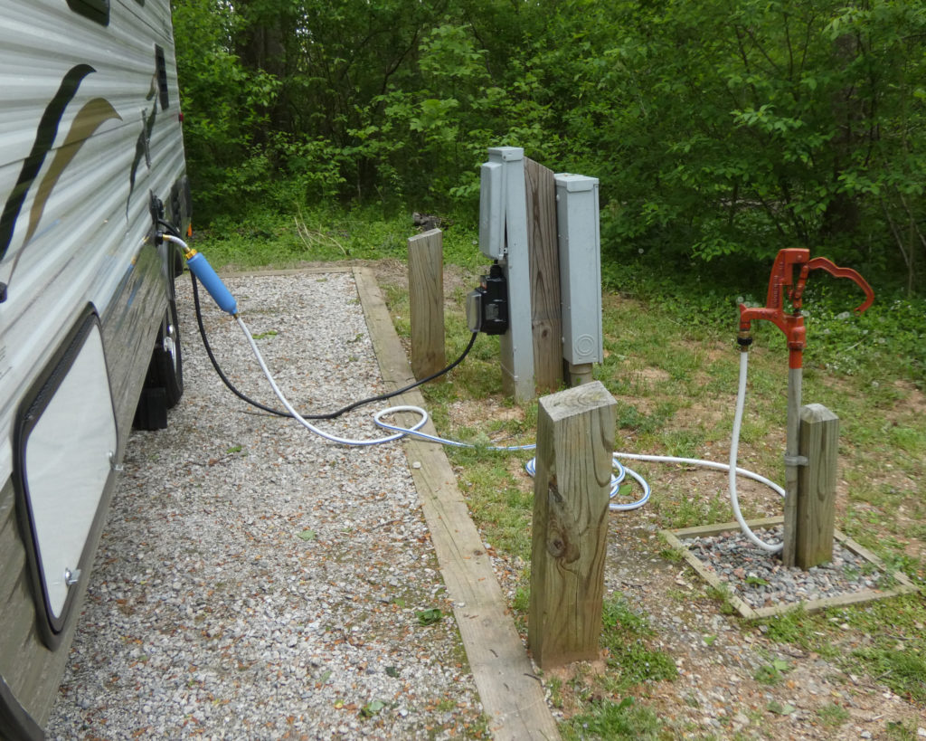
Our reservations were for site #15, with water and electric hookups. Such a nice, big, level site! All of the sites in River Bend have water and electric, all are “site specific,” and all of them are actually pretty nice. 🙂
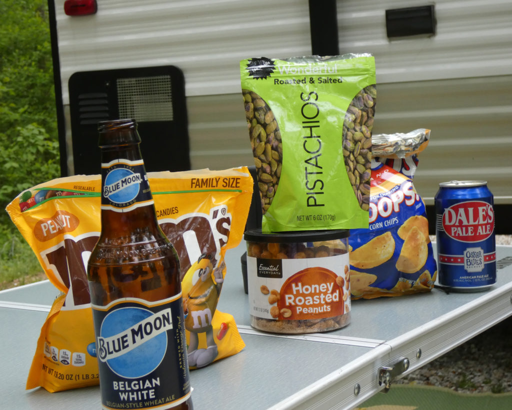
LOL, celebration snacks after getting everything set up!
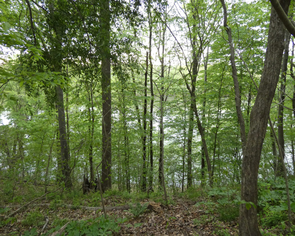
There was a trail near our campsite that wasn’t on the trail map that we’d gotten during our previous day trip, so we decided to see where it went. We could tell it headed towards the James River, but we weren’t sure how close we’d actually be to the river.
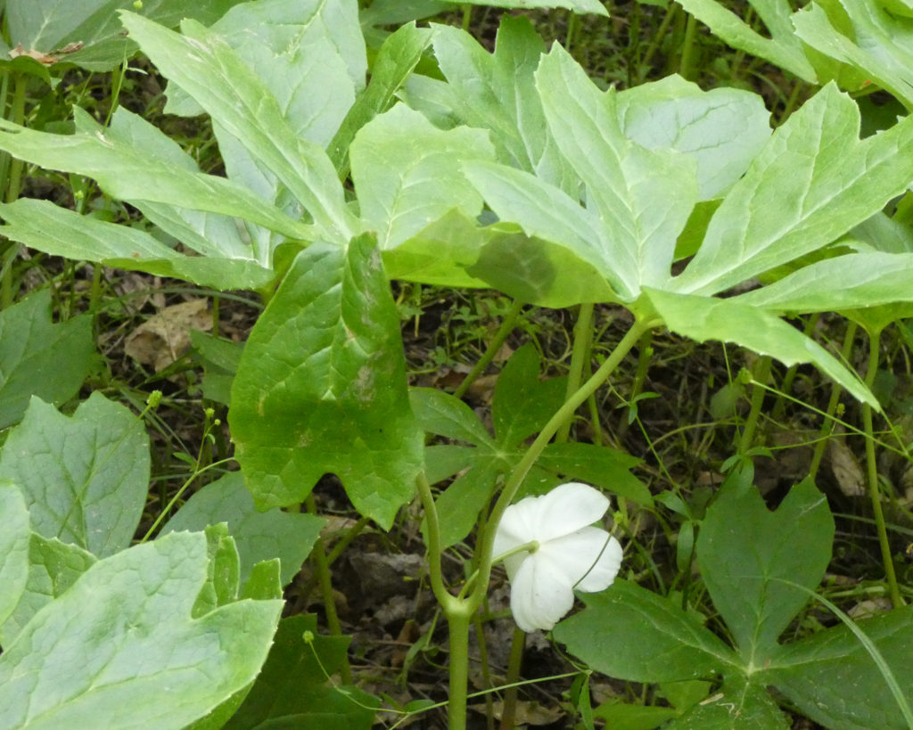
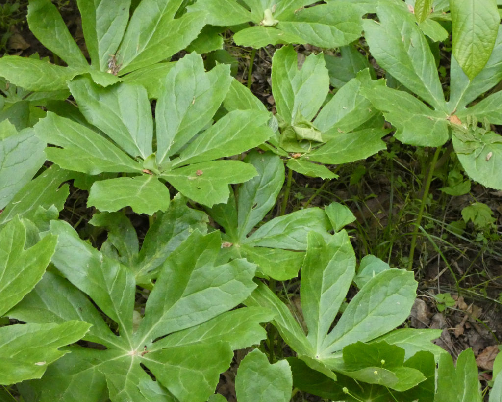
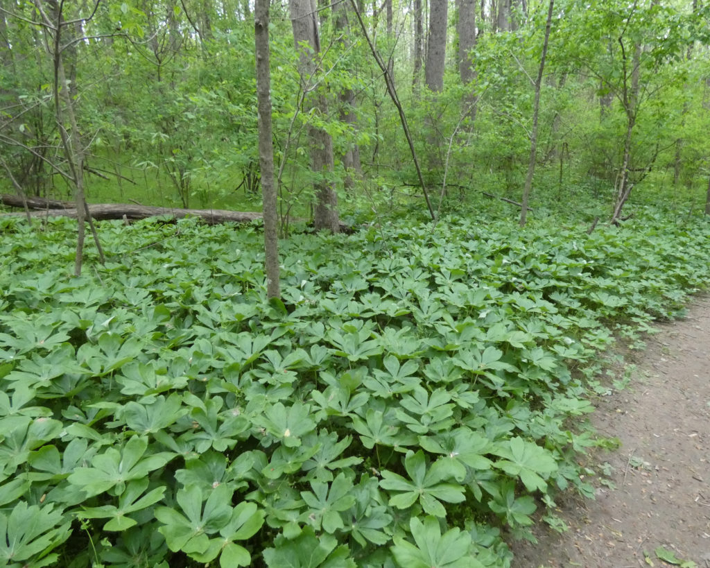
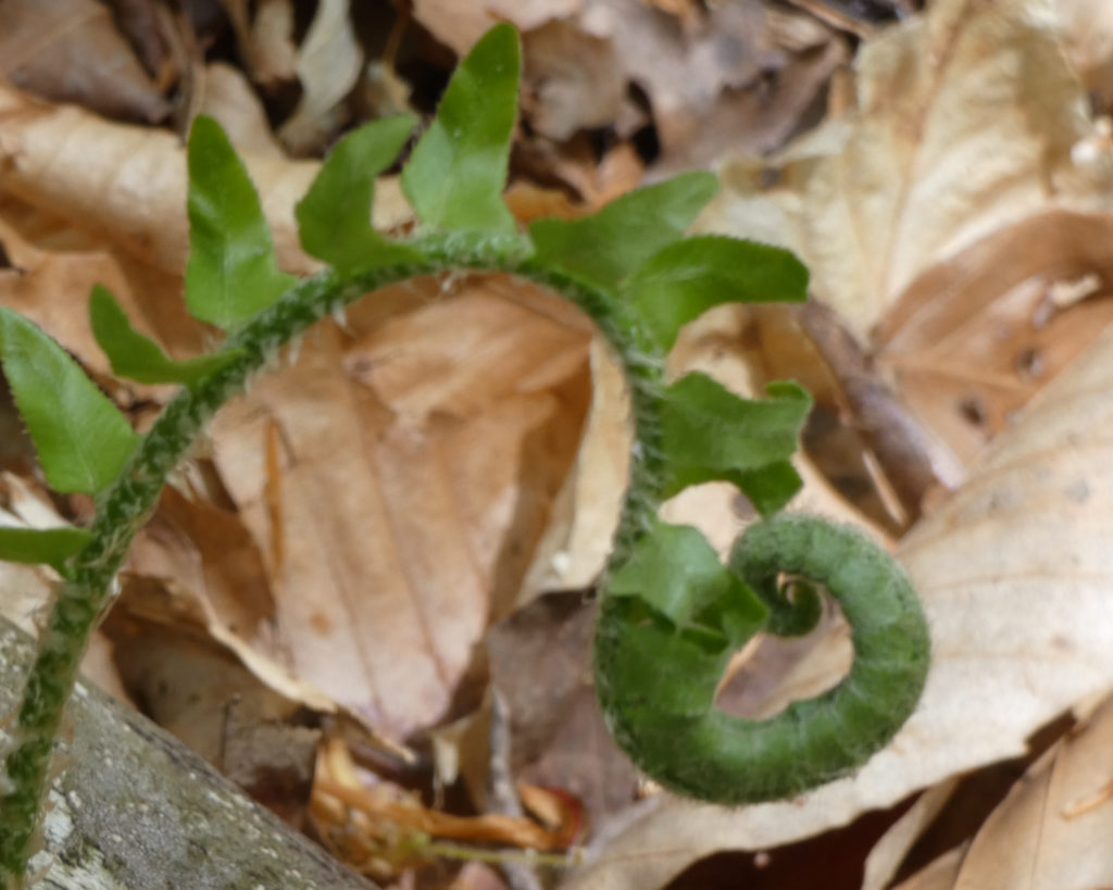
There were Mayapples all along the trail on the forest floor:
A couple hundred yards into the woods, the trail formed a “Y” with paths to the right and to the left. Both trails offered a glimpse of the river through the trees. Apparently the park service hopes to ultimately connect this trail with River Trail, but due to the steepness of the terrain down to the river–and the lack of funding–this hasn’t happened yet.
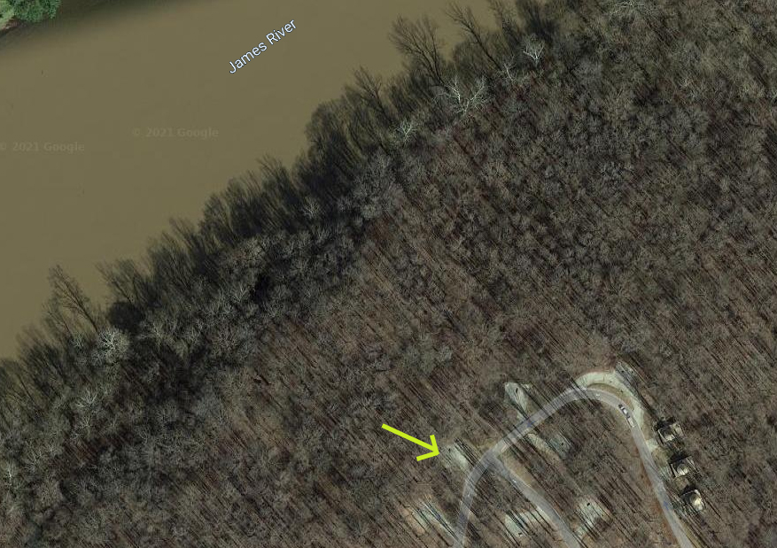
This satellite image shows the location of the campground in relation to the James. While it looks pretty close, flooding should never be an issue in the campground due to the difference in elevation. (The yellow arrow points to our campsite.)
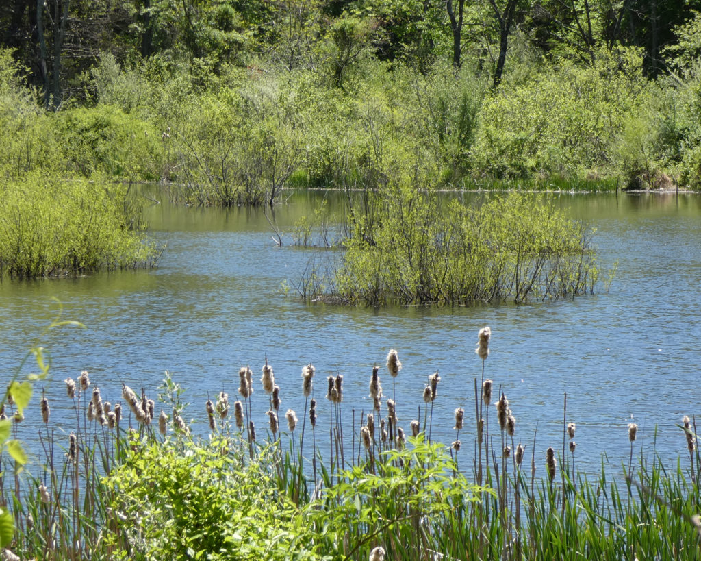
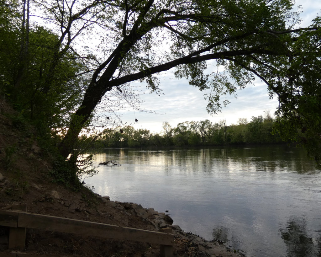
After we walked back to our site, we drove to Canoe Launch C. It was such a beautiful evening!
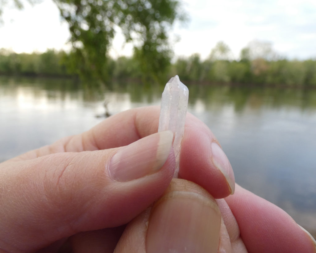
Symbolically charging a crystal with our prayers for the James RiverLooking across one of the meadows near the campground.
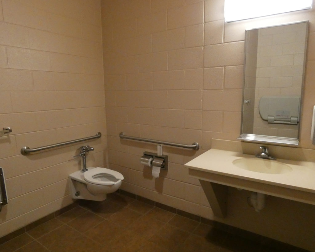
I’d heard good things about the bathhouse at Powhatan, and when we got back to the campground, I checked it out. These pics were taken inside one of the private bathroom/shower rooms, which appeared to be handicapped accessible. The shower had fold-down seats (inside and outside) as well as grab bars. All of the bathrooms and shower rooms are single/private.
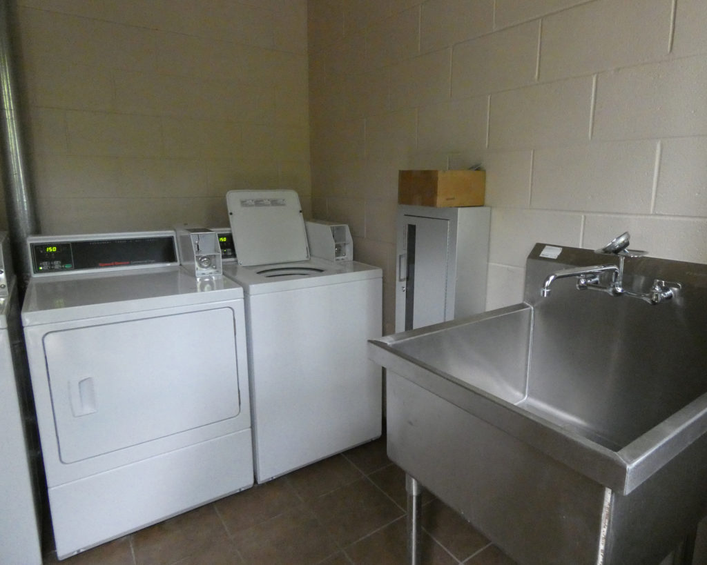
There’s also a laundry facility in the same building:
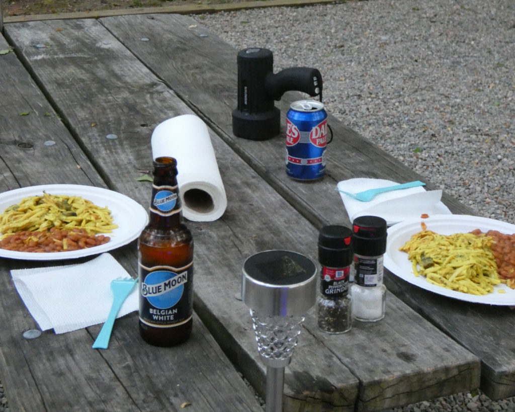
By this time it was getting pretty late (yes, thankful for longer days and lighter evenings!) so we fixed an interesting dinner of leftover chicken noodle casserole with a can of baked beans. It was definitely an odd combination, but it tasted good! (LOL, follow us for more recipes. 😉 )
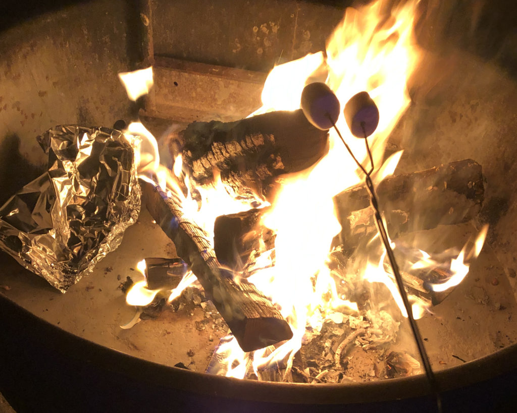
Wayne started a campfire, and although we didn’t fix S’mores, we did toast a few marshmallows.
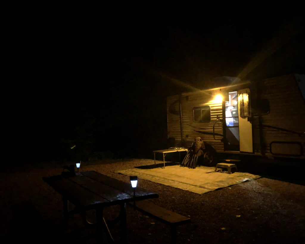
Beautiful moon above our campsite….
….And a beautiful little trailer in the woods!
The temperature started dropping quickly, so once the fire died down we went inside. With a little ceramic heater to keep us warm, and our antenna pulling in a few channels on our TV, it was a nice way to end a very busy day.
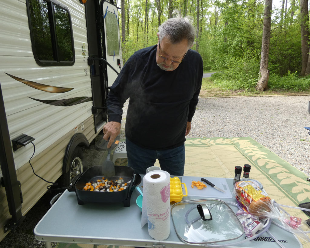
The next morning Wayne fixed omelets, and even though it was still pretty cool outside, we ate at the picnic table again. (Whenever possible, we cook and eat outside.)
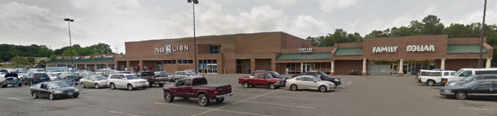
Sadly, the little coffee maker we keep in the trailer chose that morning to die, so we decided to make a trip back to the shopping center in Goochland in hopes of finding a new one.
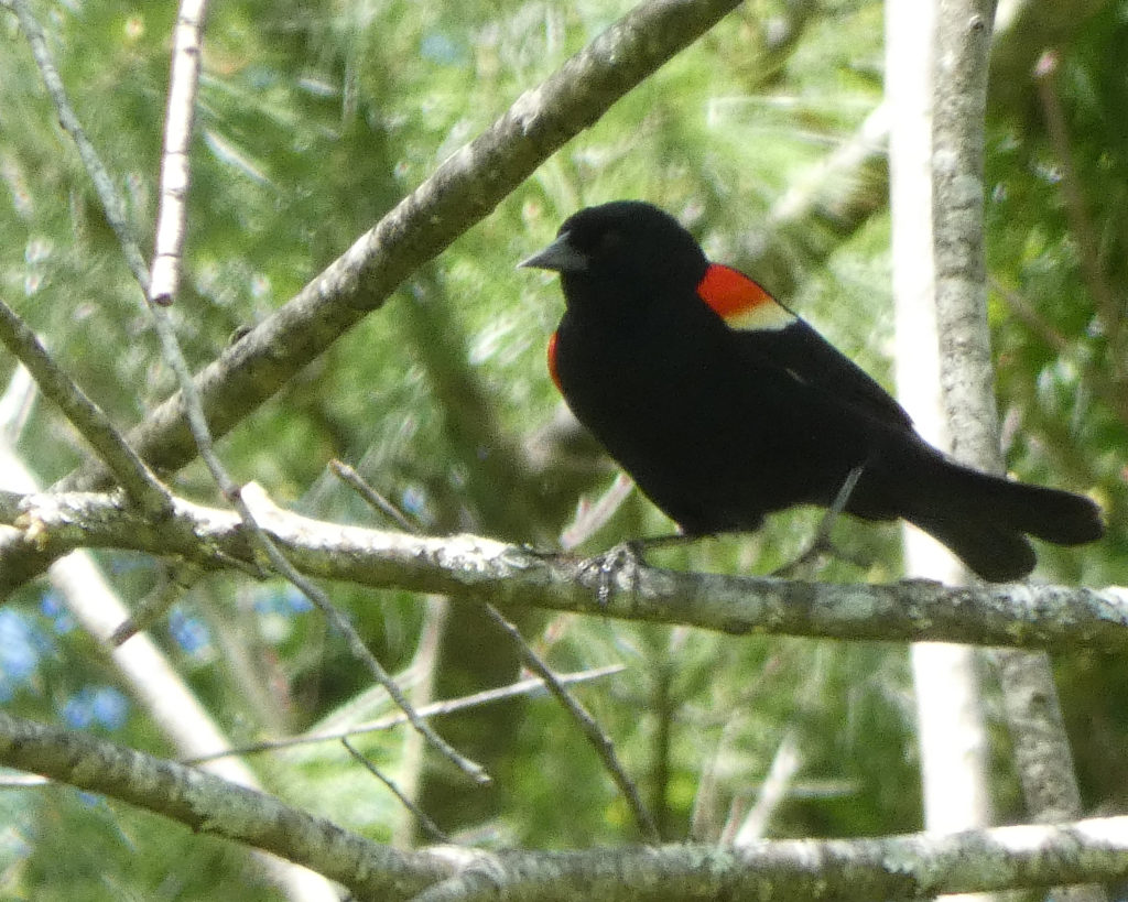
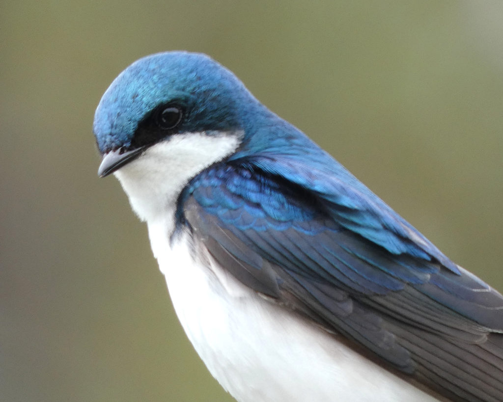
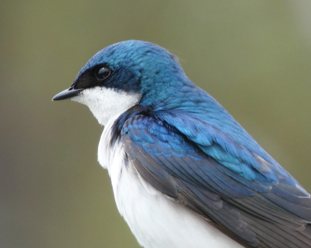
On our way out of the park, we saw the most beautiful bird–a Tree Swallow.
After that delightful and unexpected treat, we continued on to Goochland and we were happy to find a coffee maker–and a variety of other things!–at the Family Dollar store. It was really nice to have a variety of resources–a Food Lion, Family Dollar, pharmacy, ABC store, gas stations, a couple of restaurants and more–within an easy drive of the campground.
With rain in the forecast and wanting to be outside as long as we could, we went to Canoe Launch A as soon as we got back to the park. This is one of the tent sites in the primitive camping area along River Trail near Canoe Launch B.
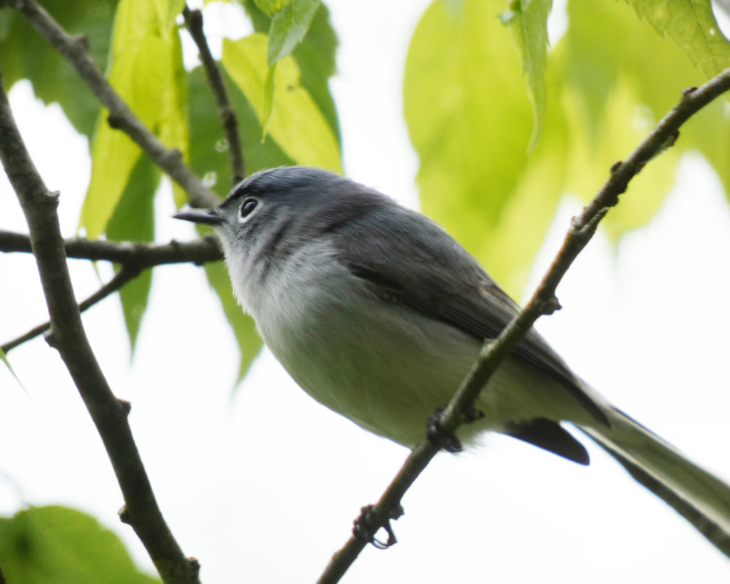
We kept hearing and seeing a tiny, tiny bird flitting between the trees above us along the River Trail. Finally I was able to snap a couple of pictures of it. I learned (later) that this is called a Blue-Gray Gnatcatcher. In size, it’s somewhere between a Hummingbird and a House Wren.
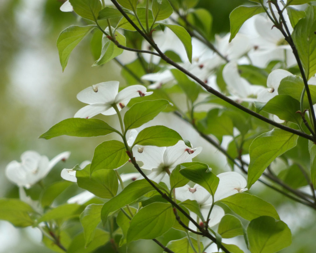
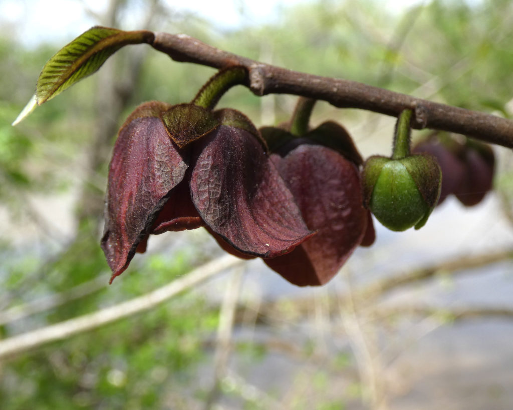
Most of the Pawpaw blossoms had faded and fallen off the trees, but we still saw a few:
What can I say? We love this state park!
A weather alert pinged on my phone, letting me know that it would start raining soon. Sure enough, by the time we got to the parking lot it started sprinkling. (By the way, I had 1 or 2 bars of service on my phone with AT&T. I didn’t try using my phone as a hotspot and I don’t think there’s any Wi-Fi available at Powhatan; there was certainly none in the campground.)
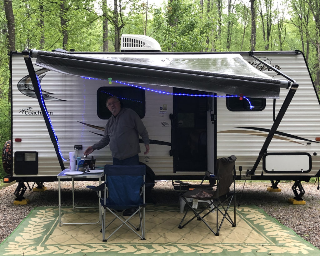
With no storms associated with the rain–and with no wind–we put up the awning on the trailer so we could continue to be outside. And kind of funny–earlier in the day I was wearing a lavender cardigan, but I changed into the new zippered hoodie I’d bought at the park office that morning. There were only two colors in my size–black and lavender–so guess which one I picked?
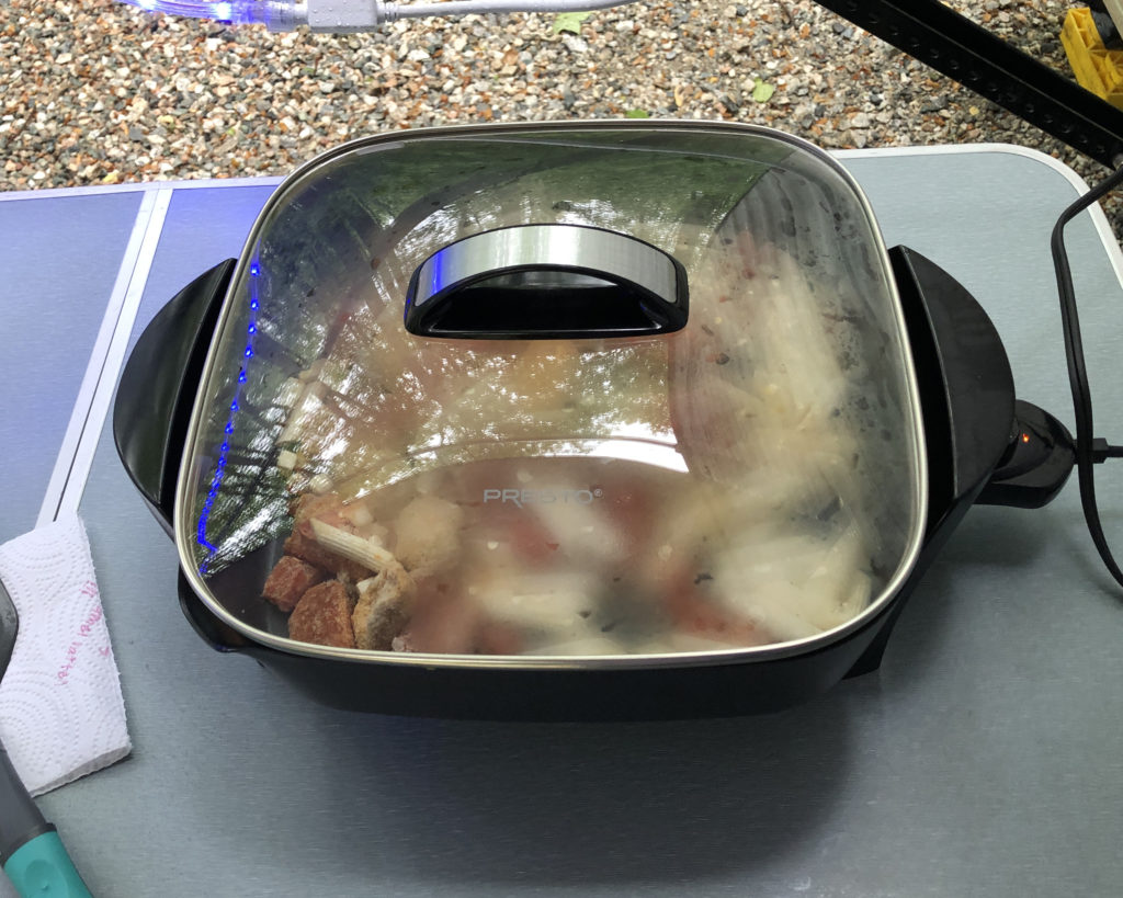
Thanks to the awning, we were able to cook dinner outside and stay dry while doing it. We use this electric skillet a LOT now, and tend to use it more than we use our propane camp stove.
In case you’re wondering, yes, the awning is crooked. We do this on purpose to allow rain to run off one corner instead of pooling in the center and weighting it down.
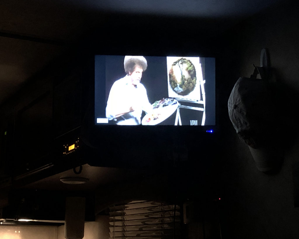
It rained hard at times during the night, but we stayed warm and dry, watched Bob Ross for a while, and fell asleep by 10. 🙂
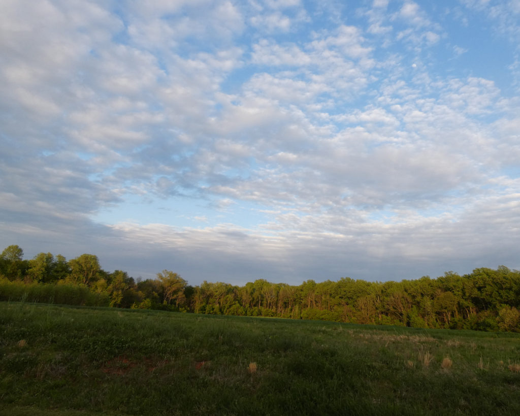
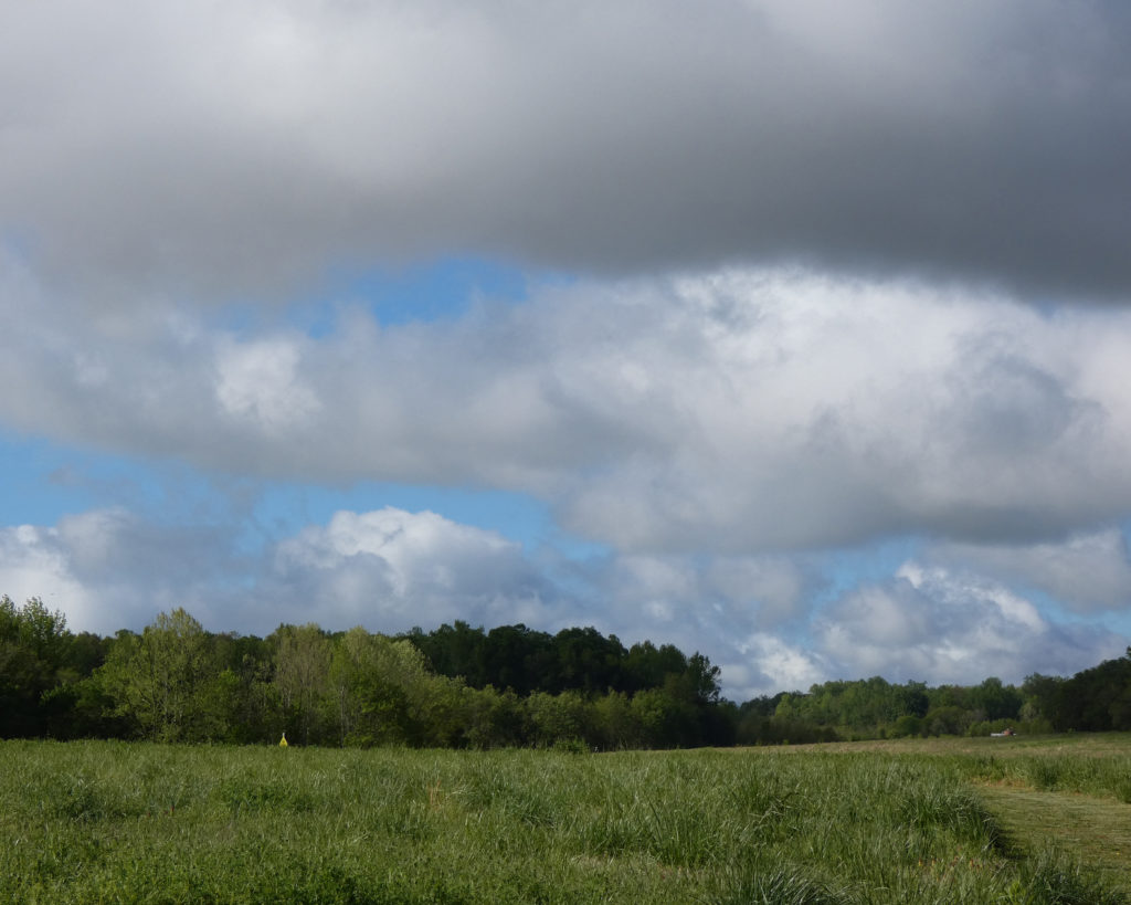
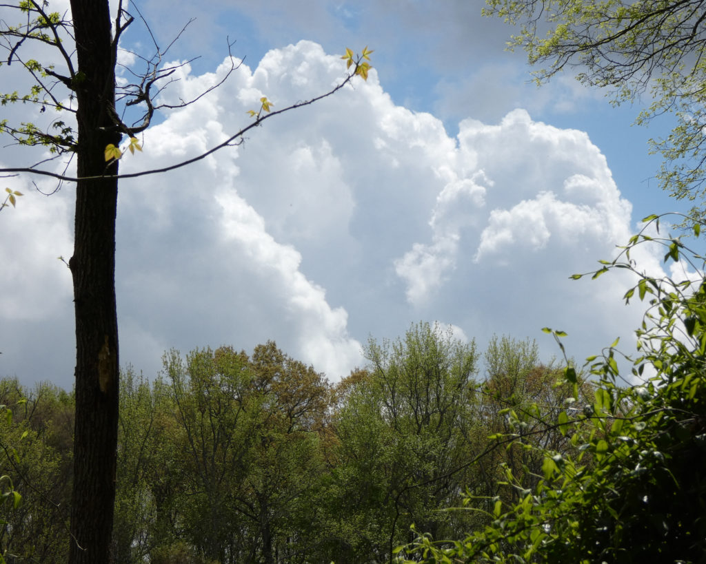
The next morning the clouds were moving along quickly above our camper:
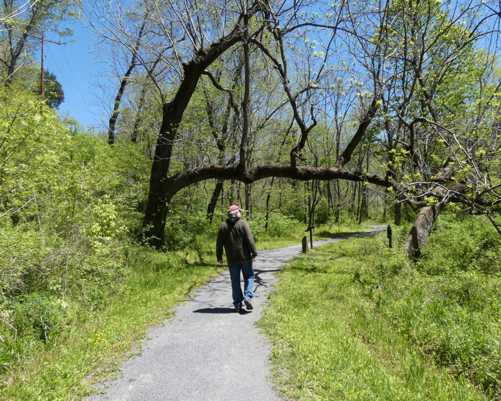
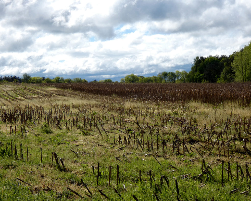
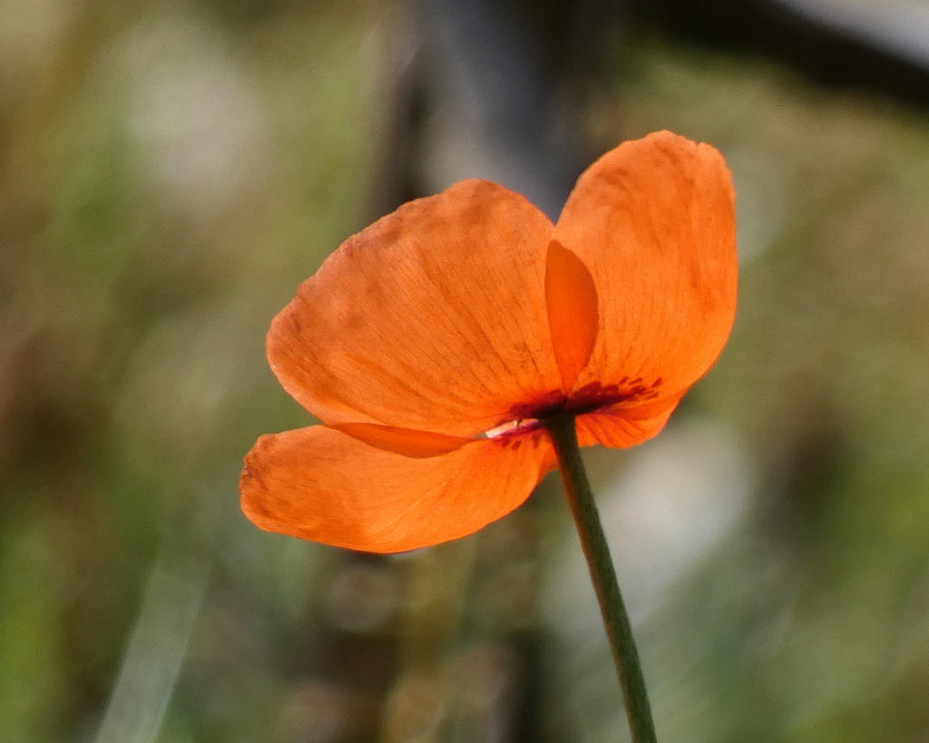
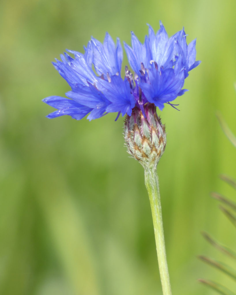
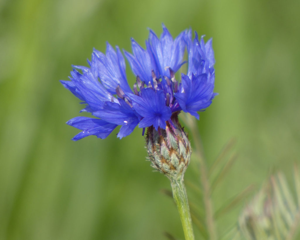
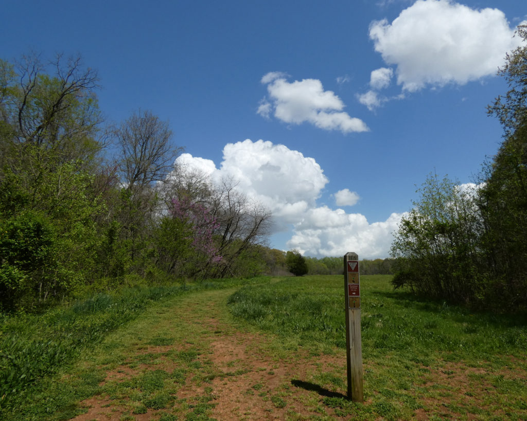
After a breakfast of bagels and coffee, we decided to walk on a trail that started across from the entrance to the campground. Such a beautiful mix of sunshine, clouds, meadows, cornfields, and wildflowers!
Orange PoppiesCornflower
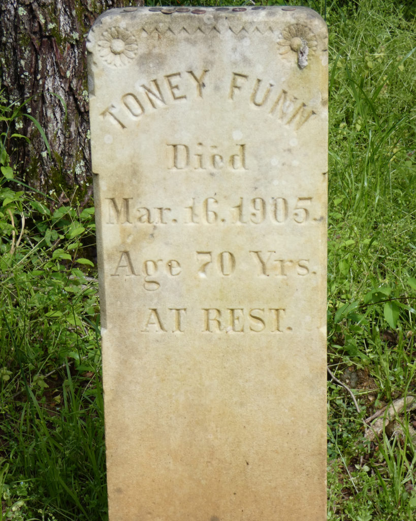
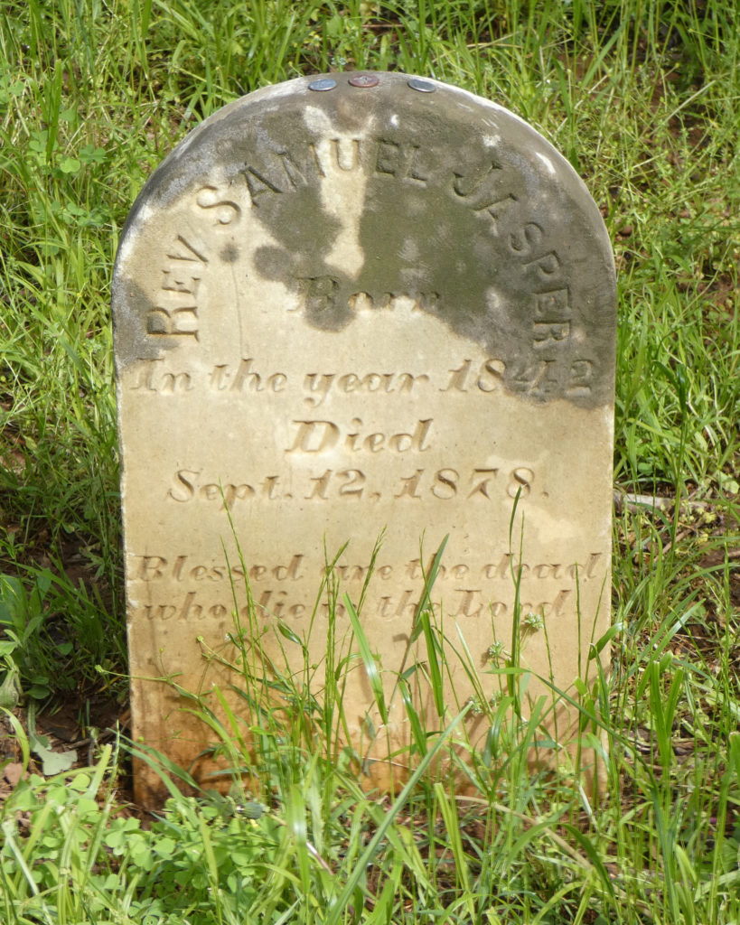
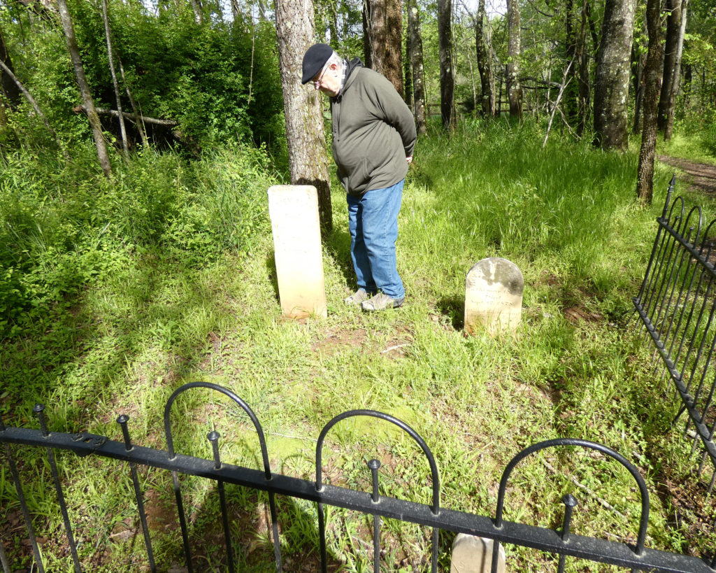
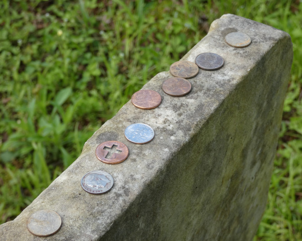
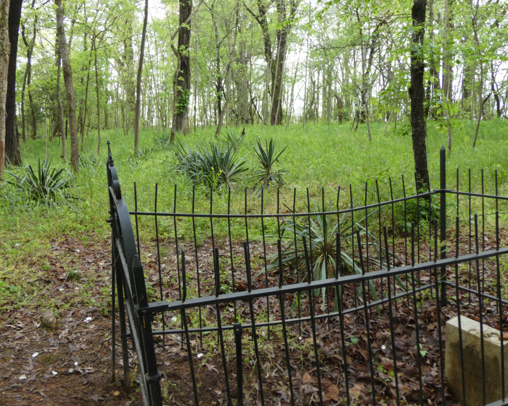
There’s an old cemetery to the left of the trail towards the top of the hill. While only a few graves have stones with inscriptions, I noticed a number of field stone markers as well as some flags probably put in by the park service. I wonder how many people are actually buried there?
Toney Funn & Rev. Samuel Jasper, buried side by side although they died 30 years apart
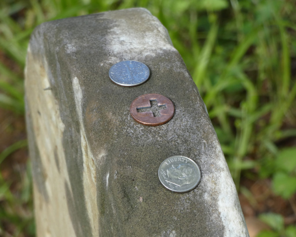
Coins on the graves – a sign of respect (often for military personnel)
Further down the hill there was another grave with a headstone, but there were indications of several unmarked graves.
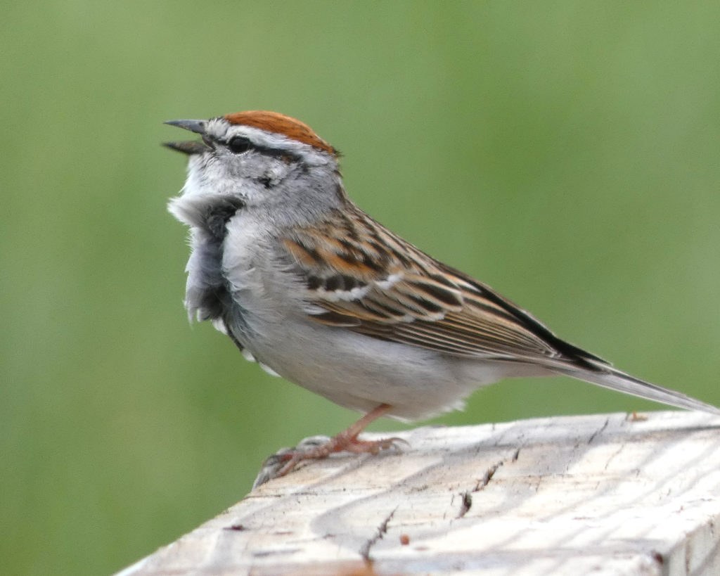
Walking back down through the meadow, a little Chipping Sparrow sang his Sunday morning song for us:
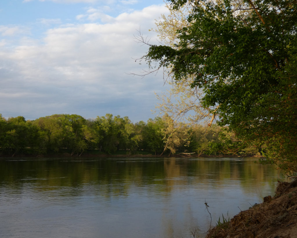
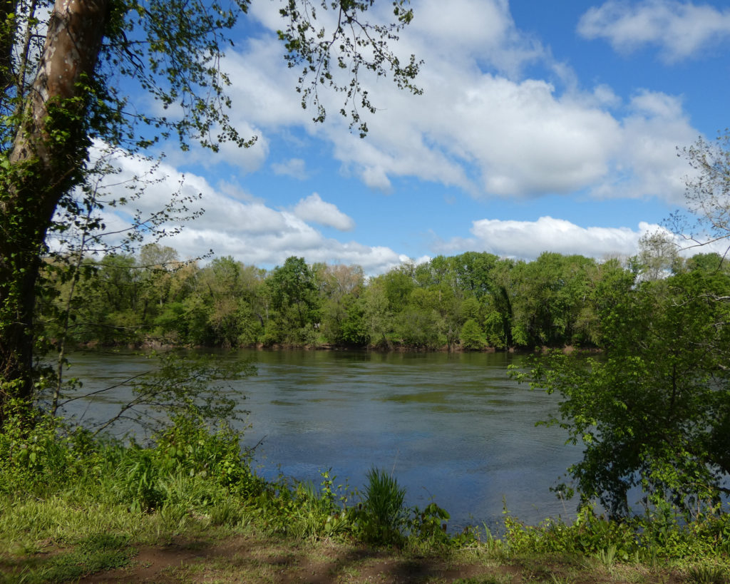
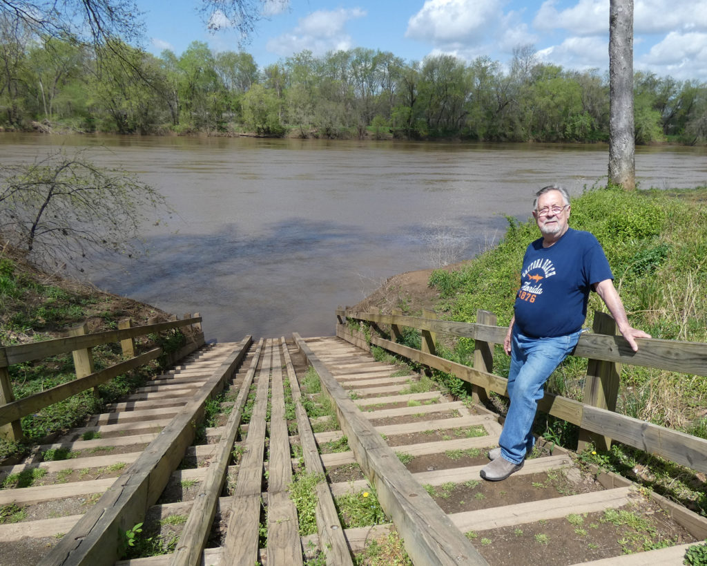
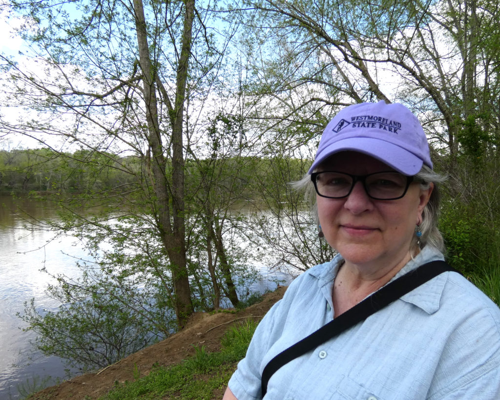
We knew we’d have to leave soon (checkout time is 1:00 pm at most Virginia State Parks), but we made another trip to the James River at Canoe Launch A. SO pretty!!
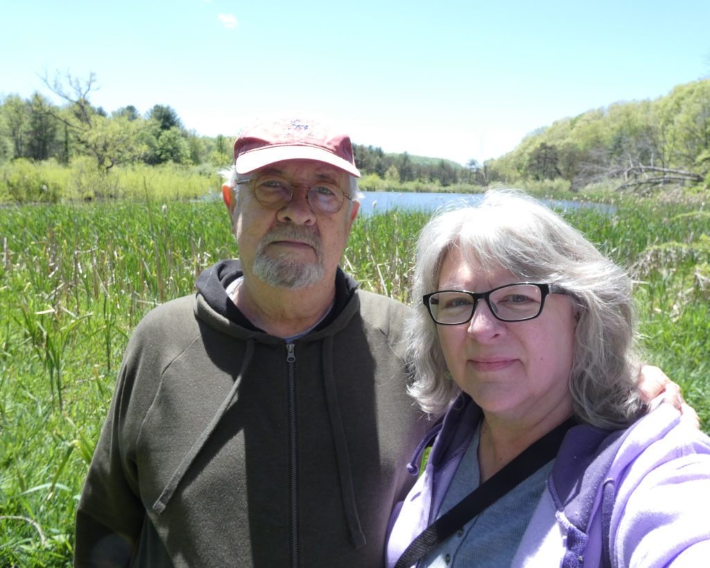
Wow, I really could have stayed a few more days–walking on the trails, photographing the birds and flowers, relaxing by the river–but we’re so glad we were able to visit beautiful Powhatan State Park for our first camping trip of 2021!
We’ve visited most of Virginia’s state parks that are within a couple of hours of our house, but somehow we’d missed this one! With another beautiful spring day on tap, we started our day trip to Powhatan State Park by driving east on I-64.
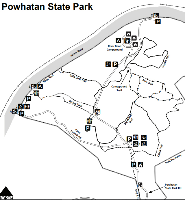
Like James River State Park (which is about 75 miles to the west), Powhatan State Park is on the James River, and this park has 3 separate canoe launch areas. Our first stop–on River Launch Road–was “Canoe Launch A.” Blessings to the James River. <3
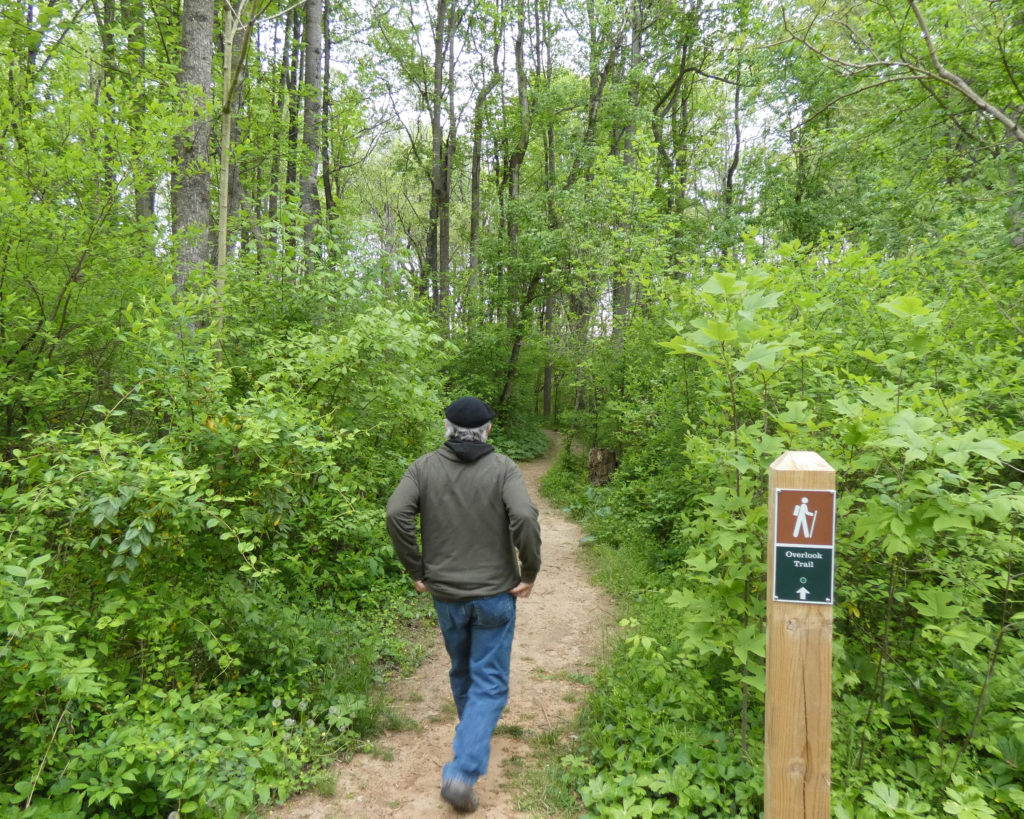
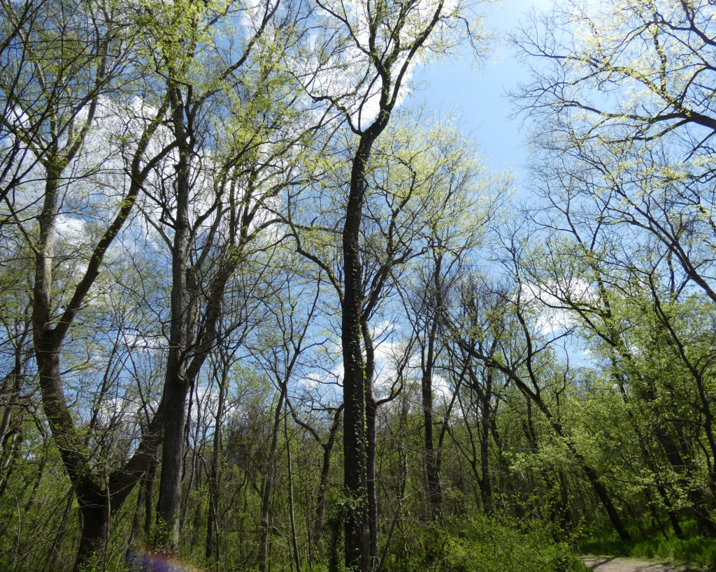
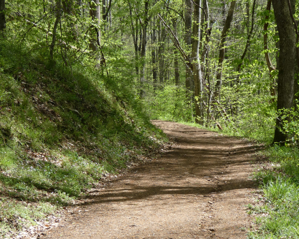
We’d picked up a trail guide at the entrance, and since we were already in the parking area for Canoe Launch A, we decided to walk along the River Trail. Trails in the various state parks are rated as easy, moderate, or difficult, and we tend to go for “easy” trails, like this one.
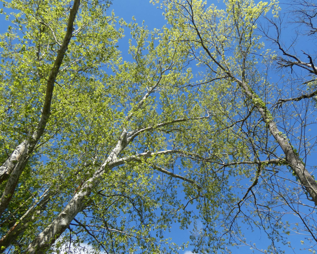
What a lovely day for a walk in the woods!
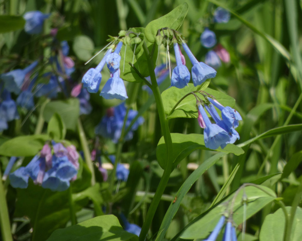
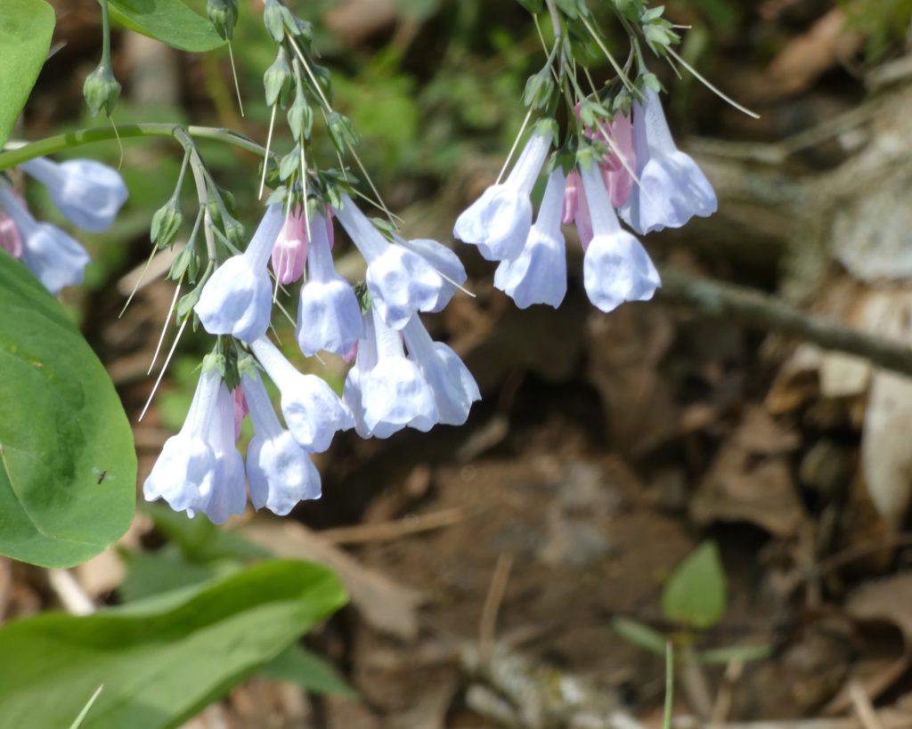
Virginia Bluebells
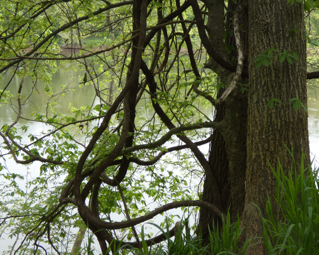
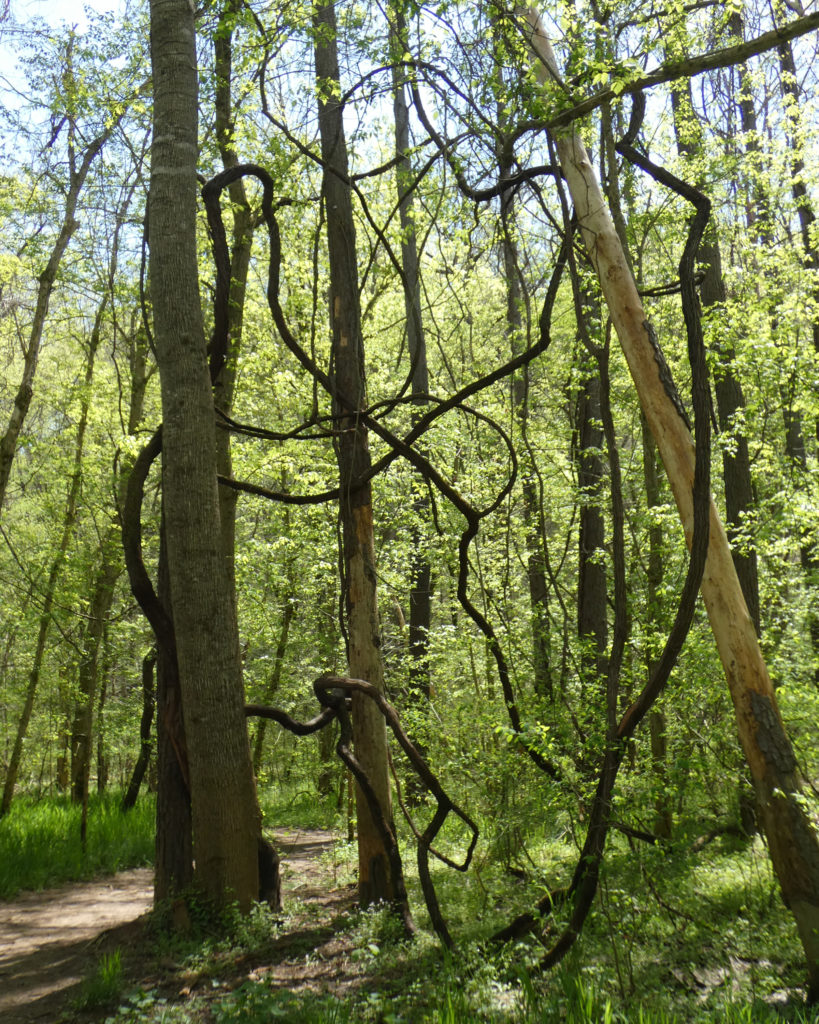
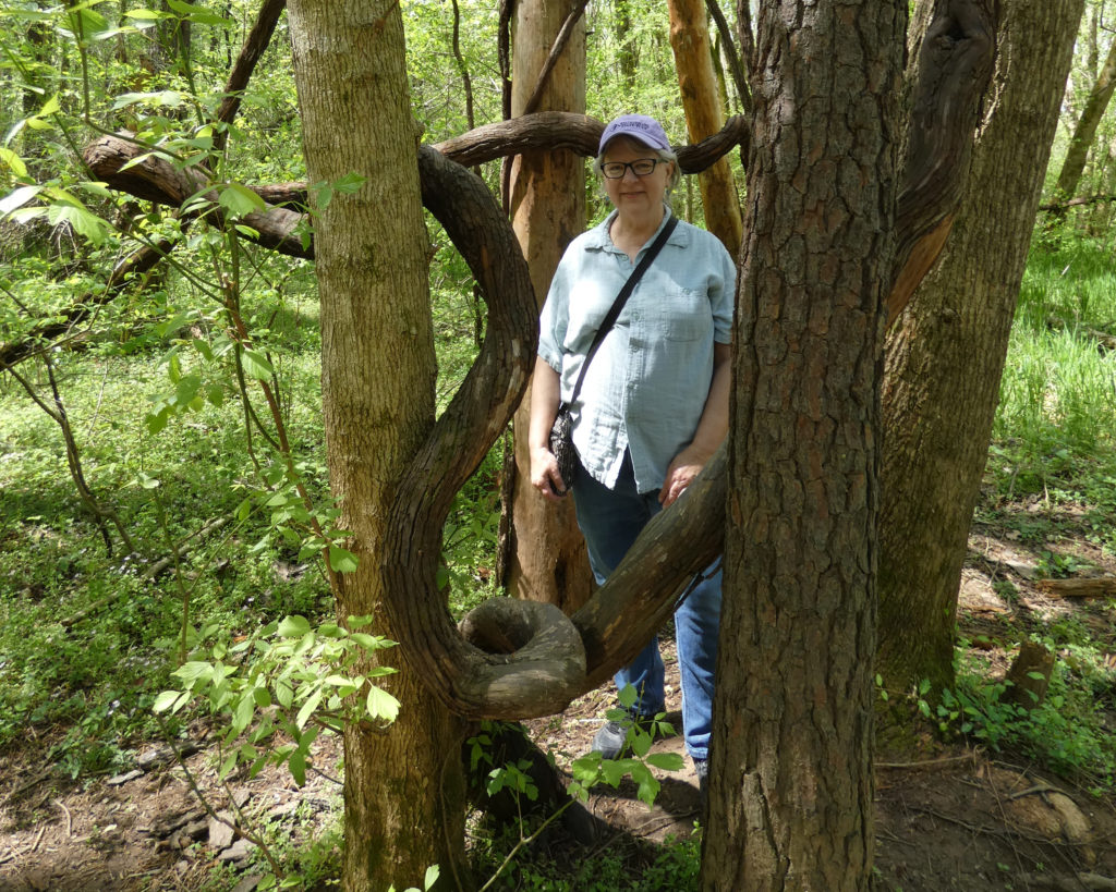
We were totally intrigued by the twisting and turning vines between the trees….
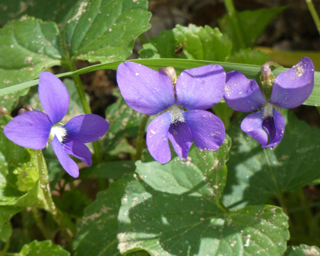
There were more Virginia Bluebells along the trail and lots of wild violets.
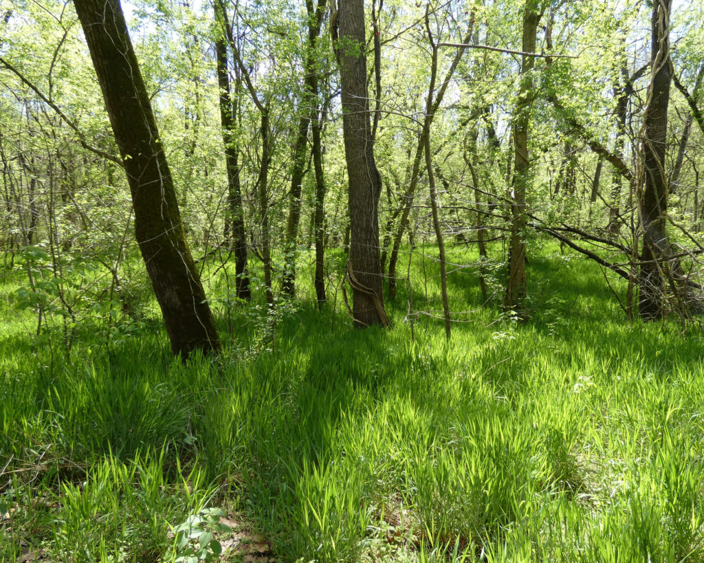
Yes, a very nice day for a walk in the woods along the James River!
We were surprised to see Pawpaw trees! LOL, about the only thing I knew about Pawpaws was that they’re mentioned in the Disney song, “The Bare Necessities” from “The Jungle Book”:
“Now when you pick a pawpaw Or a prickly pear And you prick a raw paw Next time beware Don’t pick the prickly pear by the paw When you pick a pear Try to use the claw But you don’t need to use the claw When you pick a pear of the big pawpaw”
And–too funny–Wayne remembered a song called “The Pawpaw Patch.”
“Pickin’ up paw paws, put ’em in your pocket Pickin’ up paw paws, put ’em in your pocket Pickin’ up paw paws, put ’em in your pocket Way down yonder in the paw paw patch”
So after seeing real Pawpaws growing along the banks of the James River, we were both able to have visual confirmations of our previously limited musical references. 🙂
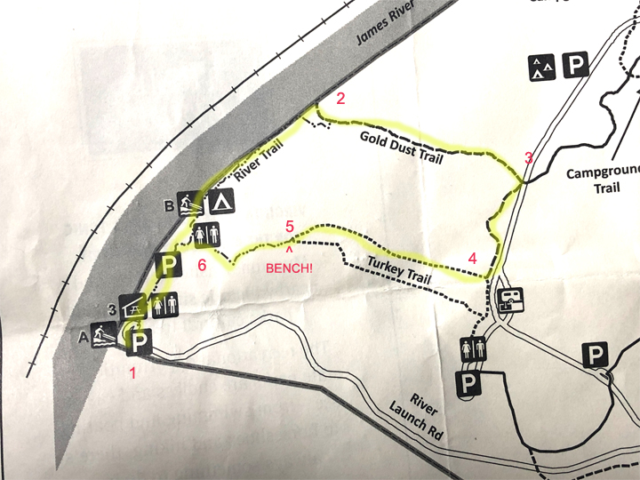
When we came to the end of the River Trail (after passing Canoe Launch B and the primitive campground), we could have turned around and walked back to the Canoe Launch A parking area. A park ranger who was walking down the path said we might enjoy the Gold Dust Trail that goes up to a meadow. Hmm, we were on the “easy” River Trail and The Gold Dust Trail was rated “moderate,” but we decided to give it a try–so up we went.
At some point as we walked up (and up…) the trail we realized that we’d planned a bit poorly. We hadn’t brought water with us, we didn’t have our walking sticks, and Wayne wasn’t wearing the best shoes for something that was starting to resemble a “hike” and not a leisurely “walk” in the woods….
At the top of the hill, the trail came out on Powhatan State Park Road. We turned right–presumably still on Gold Dust Trail–and walked parallel to the road for about a quarter of a mile before turning right again on a trail called (hmmmm….) River Trail.
Unlike the trail along the river, THIS River Trail went through a large meadow. Alrighty….
Looking back across the meadow
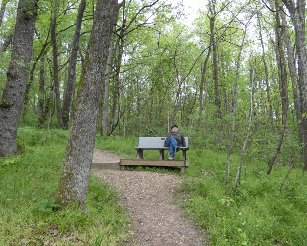
It was a pretty walk but a long walk, and when we finally reached the intersection with Turkey Trail (which was closed due to excessive mud), there was a bench. Funny–there were lots of benches along the easy, flat River Trail, but not a bench to be seen on Gold Dust Trail or on the trail through the meadow. So anyhow, when we finally saw a place to sit, yes we sat! (This was point 5 on the map below…)
After resting a bit, we started down the hill towards point 6 and ultimately back to our car at point 1. Going down the hill was a little easier than walking up the hill on Gold Dust Trail, but again I wished we had our walking sticks!
We were both really thirsty by the time we got back to the car, and we quickly finished the little bit of water and coffee that was left in our travel mugs. We knew there would be water available in the campground, so that was our next destination.
Oddly, I didn’t take a single picture of any of the campsites, but they’re wonderful! I was writing down the numbers of our favorite sites (those with some shade) until I realized I’d written down most of them. All are “site specific” and it’s quite likely that the campground will be fully booked on weekends from now to the end of the season…. Pics of the sites at Powhatan State Park can be found here: https://www.flickr.com/photos/vastateparksstaff/albums/72157675726041106
After making a couple of loops through the campground, we stopped at the bathhouse to fill up our travel mugs with water. While we were there, we struck up a conversation with a man who was sitting on a bench just outside. A former park ranger, he said that he lived nearby and enjoyed coming to walk his dog and to talk to people. Turns out he lived out our way in the 1980s, and he and Wayne had some friends in common in the Richmond area. Small world. 🙂
After leaving the campground we went to our final stop, Canoe Launch C. Sitting there enjoying the wide and beautiful James River, we agreed that we’d love to camp at Powhatan State Park and that it would also be on the short list for future day trips. I’ve said it before, but Virginia’s state parks are simply wonderful!
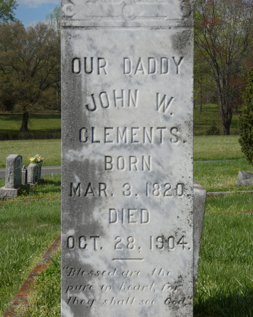
Instead of taking the most direct route home (I-64), we meandered northwest on secondary roads. When we got to Scottsville, I impulsively turned towards a cemetery we’d visited previously.
A little over a year ago I’d found the grave of my great-great grandmother’s sister, Elizabeth Columbia Rhodes. She’d married John Walker Clements in 1847, and they’d made their home in Scottsville, VA.
The biggest surprise, however, was when I discovered a census record that showed that Frances “Fannie” Clements, one of their daughters, had been a seamstress at the school where I’ve worked the last 20+ years! There was definitely a sense of connection with this woman (my 1st cousin, 3x removed), and the connection seemed even more significant since several years before I had re-introduced sewing at the school as a week-long class and as a service group. Whenever we’re in the Scottsville area I like to stop by to say hello.
Tired but happy, we continued towards home. What an all around beautiful way to spend a spring day!