One of our favorite places to visit (and to camp) is James River State Park. Blessed with a beautiful early spring day, we set out for yet another day trip to the park. 🙂
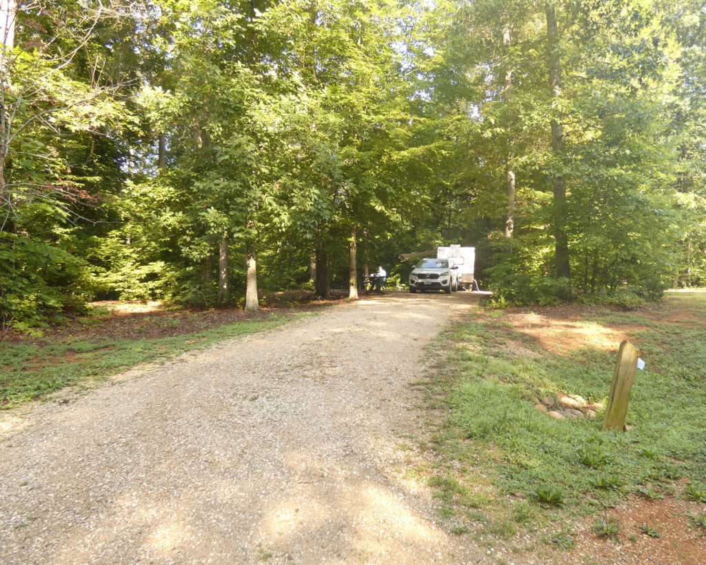
When we got to the park, we drove through the campground, first. We were delighted to see several campers there enjoying the spacious, woodsy atmosphere of the campground. How spacious? This is a picture of our amazing campsite at James River in 2019, and this is the blog post I wrote after our camping trip: https://art-rageous.net/artrageousblog/?p=4374
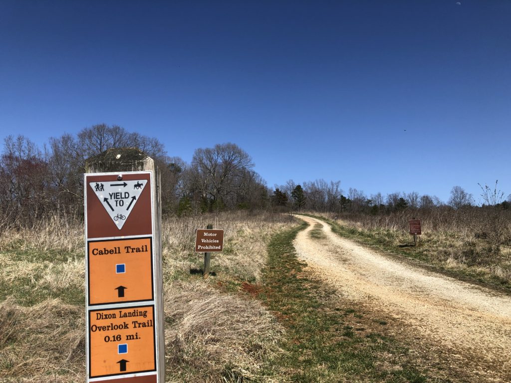
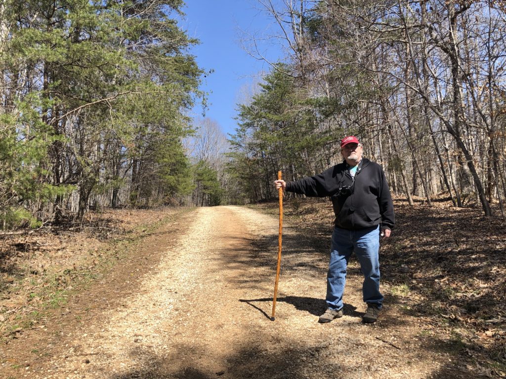
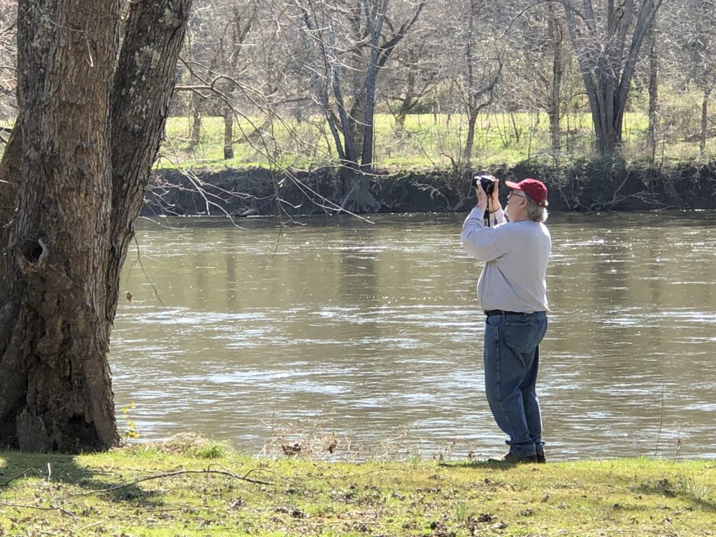
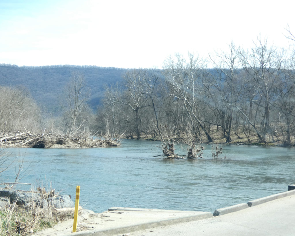
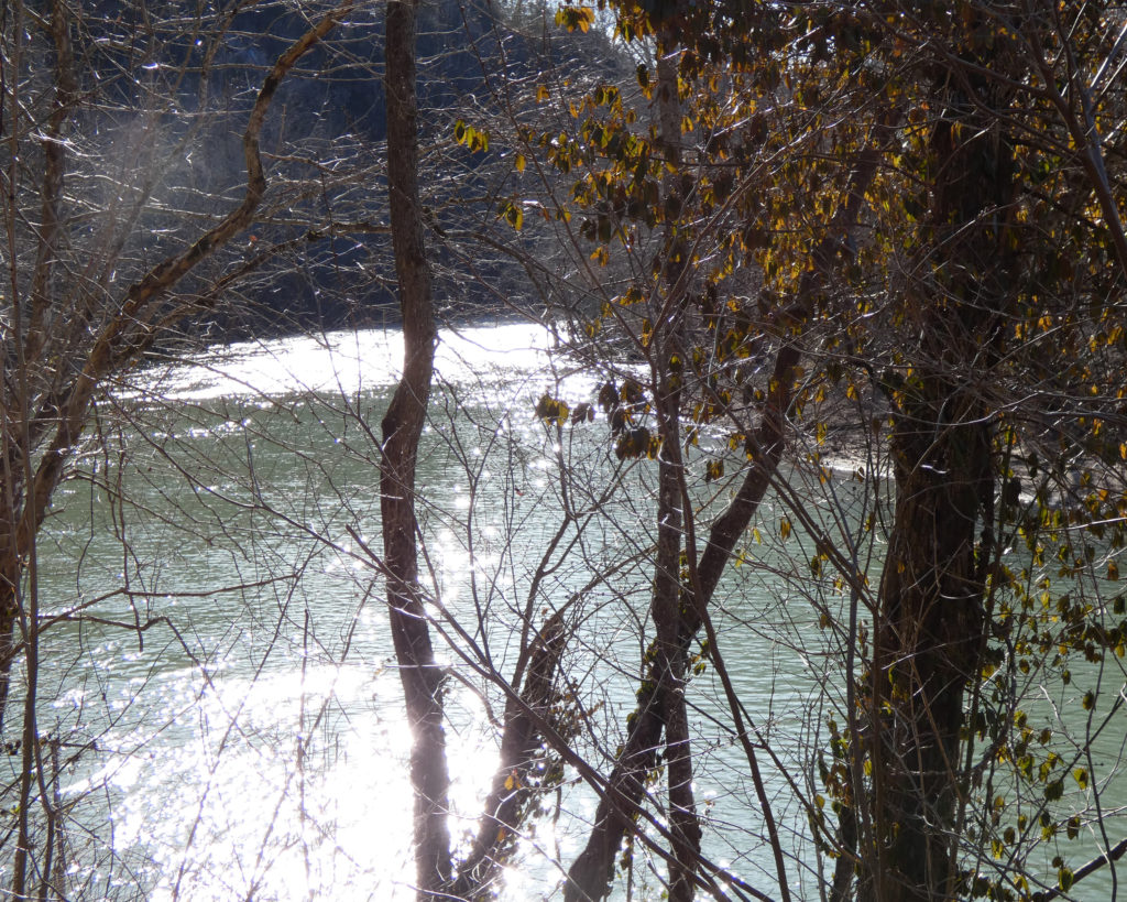
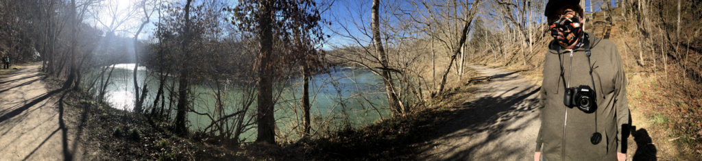
Driving further into the park, we stopped at the visitor’s center before starting up Cabell Trail to the Tye River Overlook.
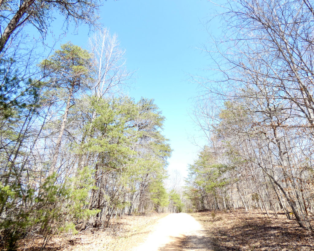
And I do mean UP the trail…
Looking down the trail to the visitor’s center
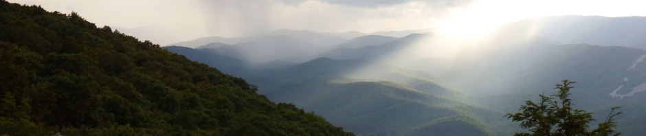
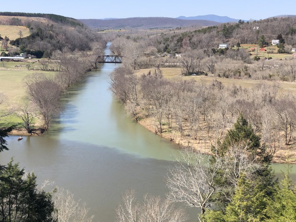
While it’s not steep, this trail is mostly uphill. The view, however, is well worth the effort to get there!
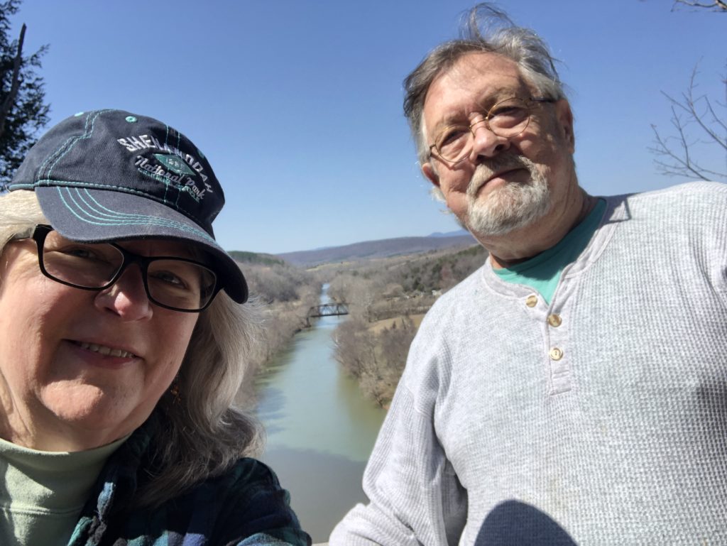
The confluence of these rivers is somewhat unusual because the Tye flows into the James at almost a 90-degree angle. Apparently most confluences form a “Y” shape. It’s also interesting to see the different colors of the rivers where they meet. We’ve noticed the same thing at the confluence of the Maury and James Rivers at Glasgow, VA, 50+ miles to the west.
Whoops–someone had left a cell phone on one of the benches at the overlook! When I pressed the home button, the picture that came up was of two dogs. Aha–we’d passed these doggies–and their owners–on our way up the trail as they were walking down. When we were ready to leave, I stuck the phone in my pocket so I’d have it in case the owner was coming back to the overlook to retrieve it. If we didn’t meet on the trail, I’d leave it with the park ranger at the visitor’s center.
We were about halfway down when the lost phone in my pocket rang! The woman who’d lost it said they were staying in one of the cabins and that she’d drive back to the visitor’s center to meet me. She was waiting for us there when we reached the bottom of the trail, happy that she didn’t have to trek all the way back to the overlook. 🙂
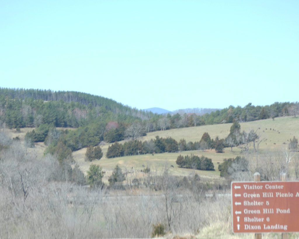
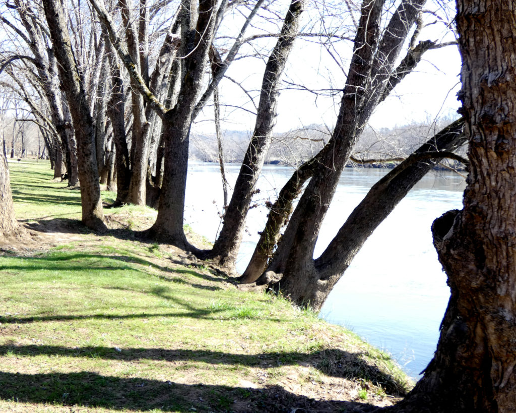
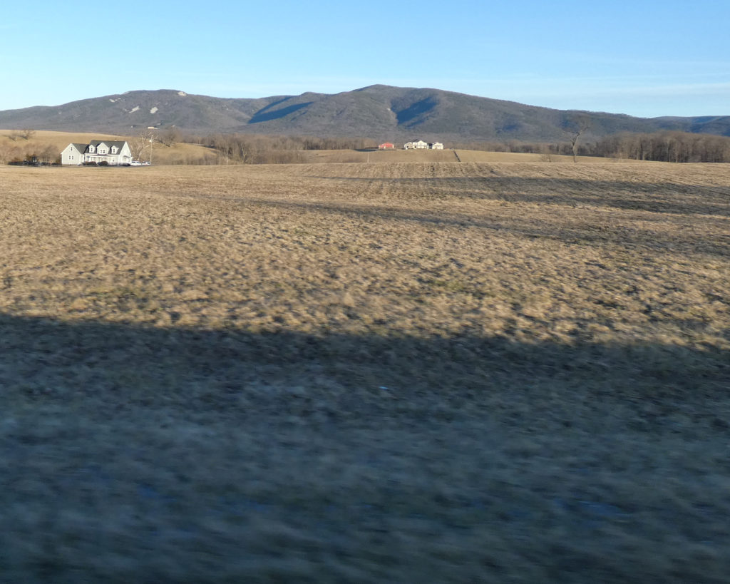
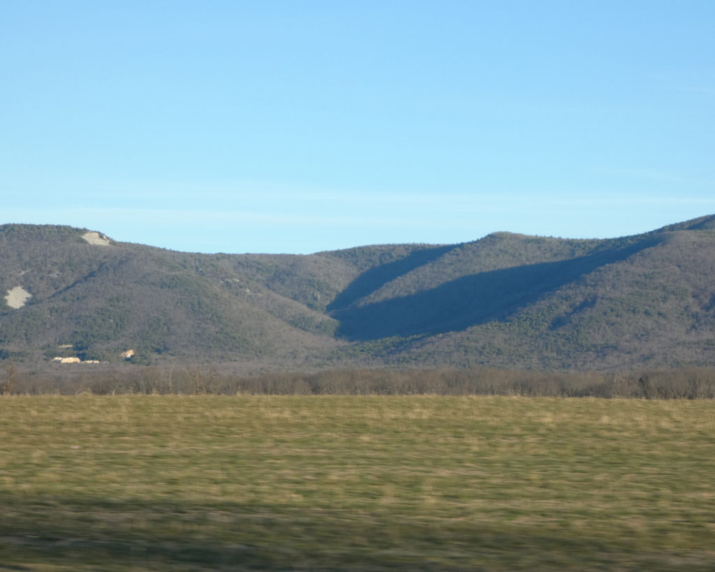
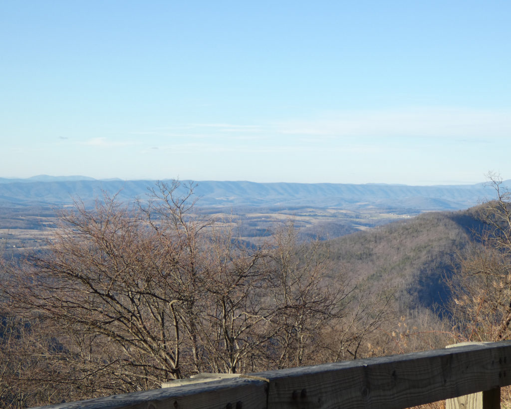
Before leaving the visitor’s center, we paused to take in the view. These bare, distant hillsides were previously covered with trees. I know that lumber is a sustainable resource, but it always makes me sad to see areas that have been clear cut. I wonder how many animals are displaced when this happens?
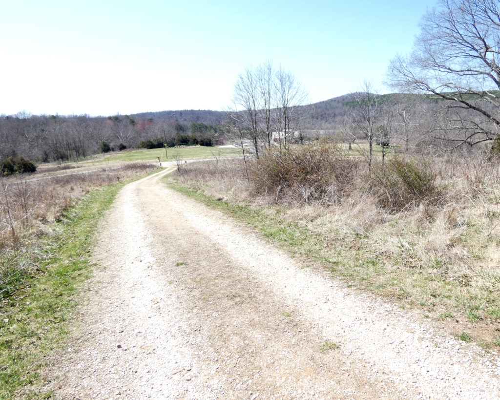
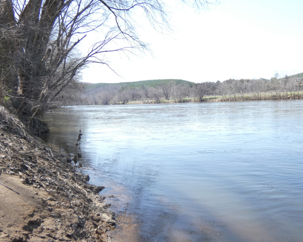
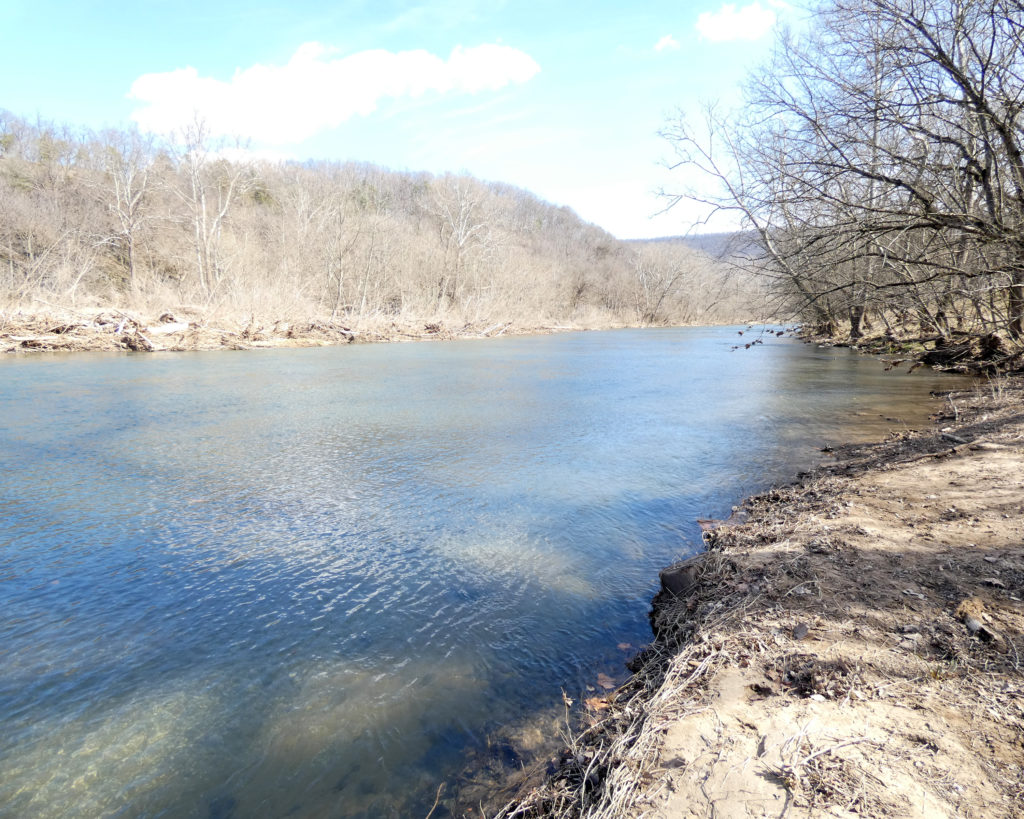
Our next stop was Dixon Landing. This is a “take out” spot for people who kayak or tube from the park’s canoe livery area, which is about two miles upstream. We didn’t see any kayakers this time, just the wide, quiet river. Blessings to the James….
Our final stop in the park this time was the picnic area and the canoe livery (which is still closed).
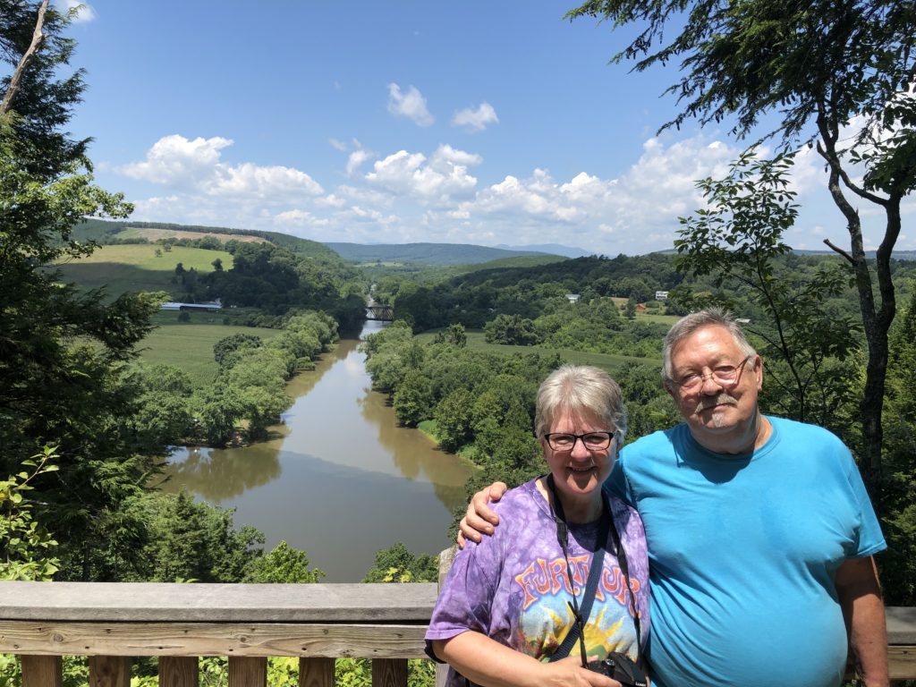
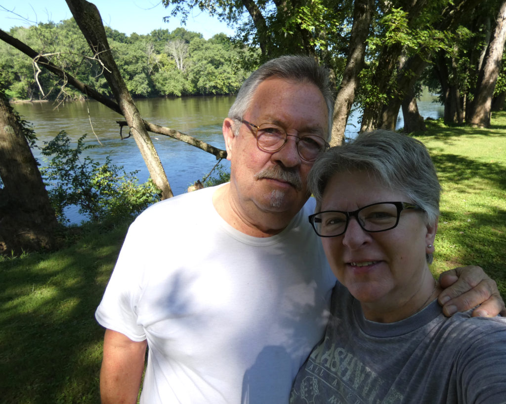
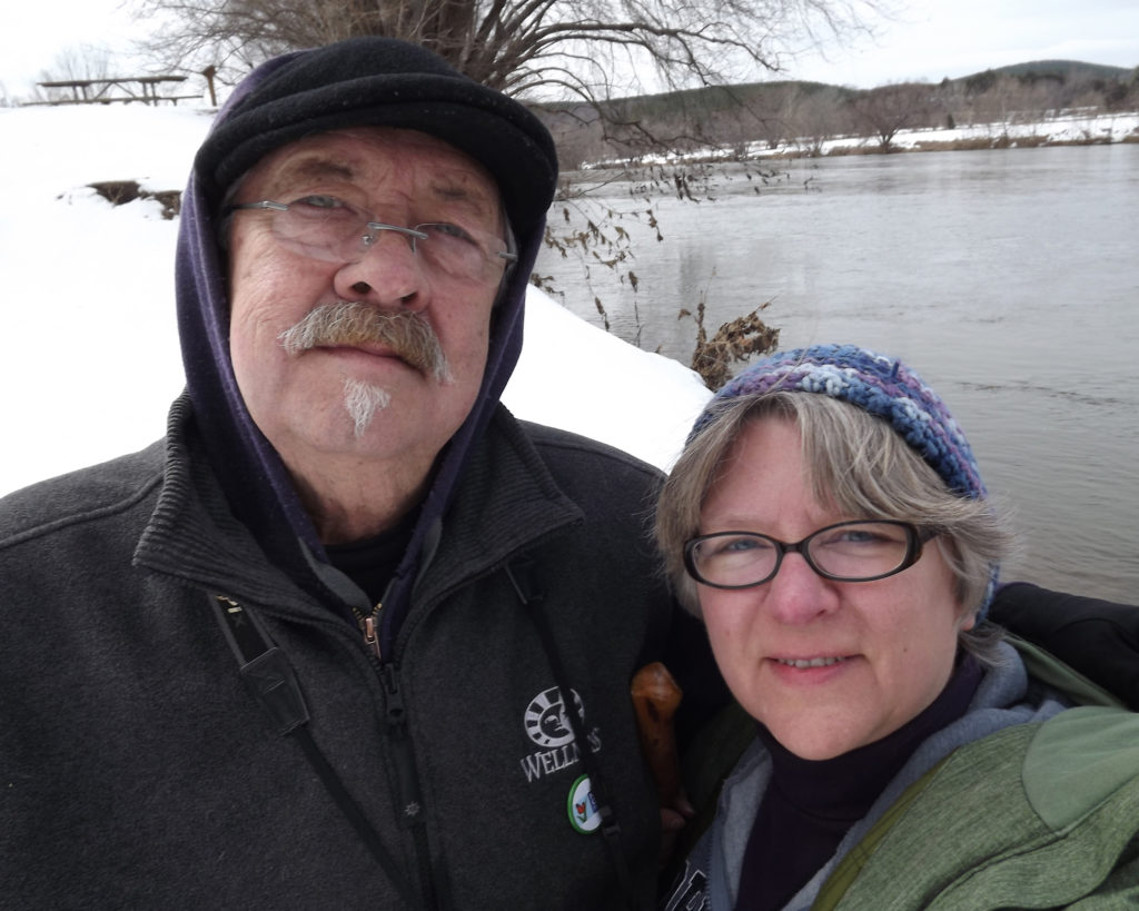
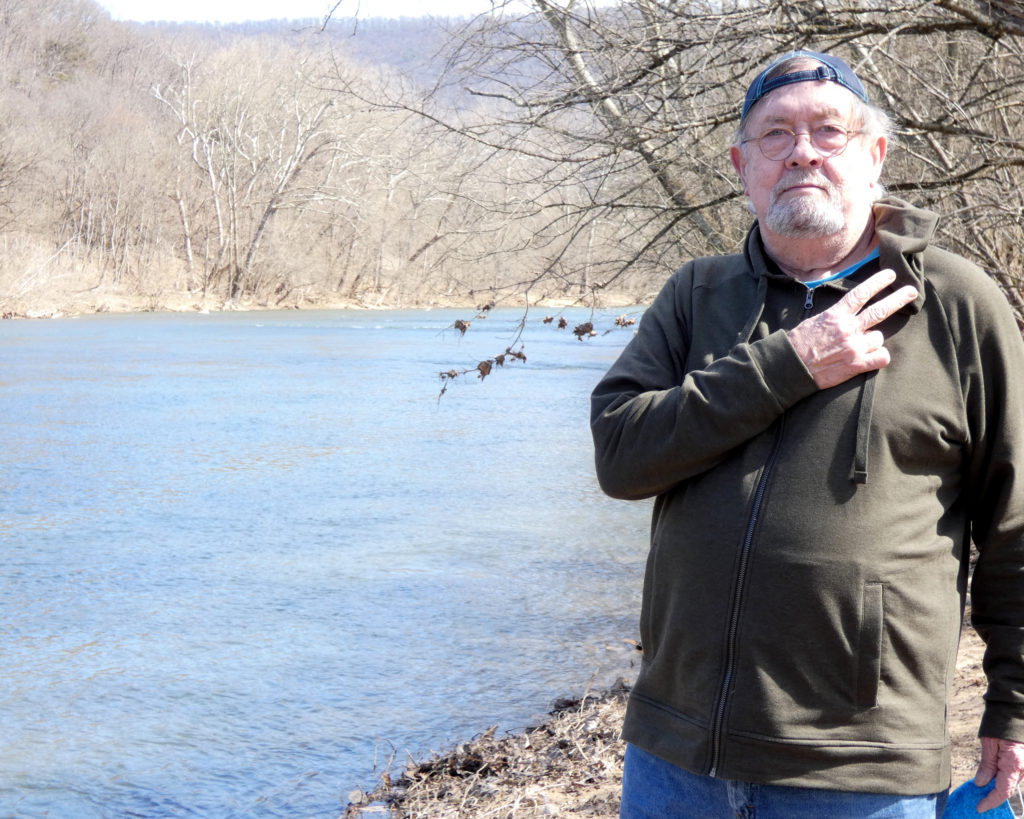
Over the years–and in every season–we’ve taken “selfies” and made some wonderful memories at James River State Park.
March 2021July 2019July 2019July 2019January 2019January 2016November 2014February 2014
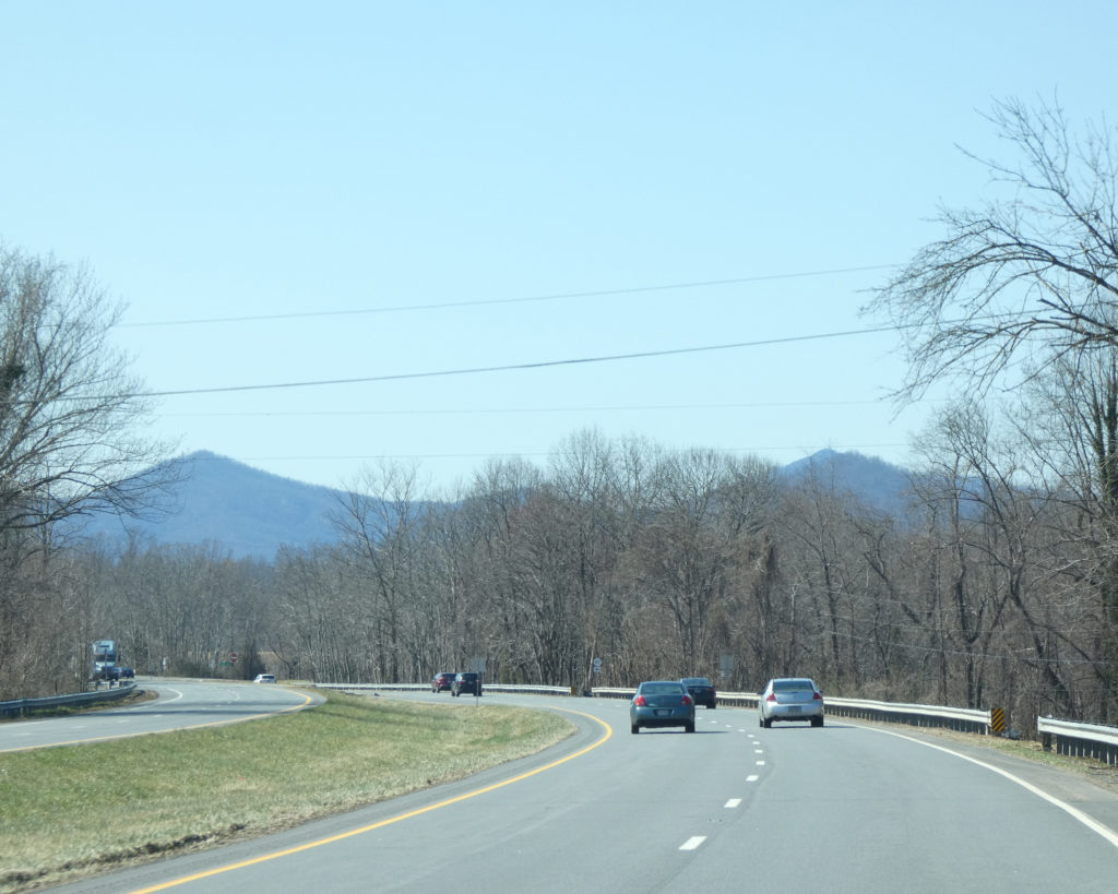
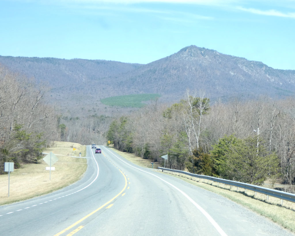
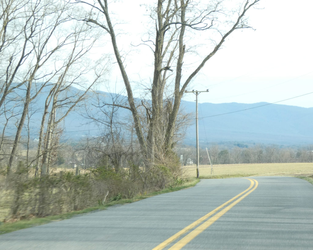
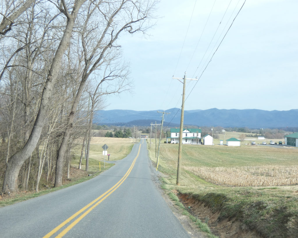
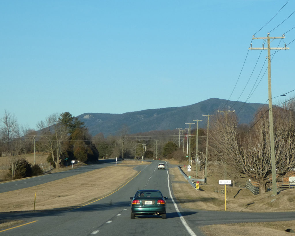
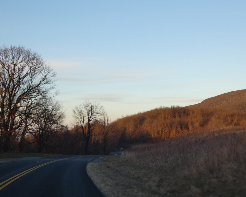
The 7-mile drive from the park back to Rt. 60 is so pretty…
LOL, it was along this road in 2014 that we met “the singing bull…..”
Do you hear how he was really trying to match the tones that Wayne was singing?!
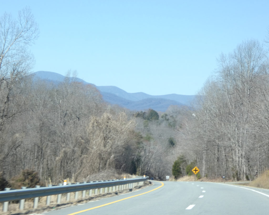
Instead of following Rt. 60 West all the way back to Rt. 29 North near Amherst, we took a shortcut by turning onto Rt. 657 (Tye River Road). I guess it’s not really a “shortcut” if you stop to take pictures along the way….
It was such a nice day, and we love exploring all of the beautiful places in our state! We look forward to visiting James River State Park again sometime this summer.
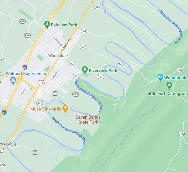
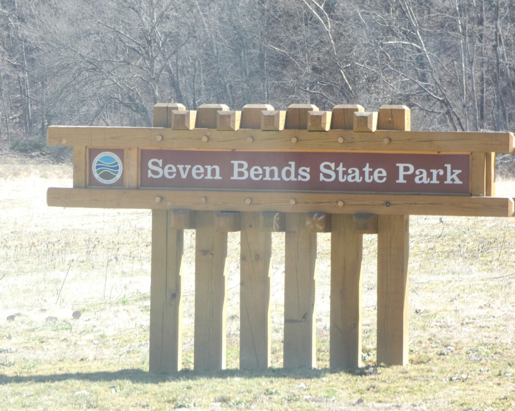
While looking at a map of the Shenandoah Valley, I noticed a relatively new state park that we hadn’t been to. Seven Bends State Park, near Woodstock, VA, is located on the North Fork Shenandoah River. We always enjoy being near rivers, so we decided to take advantage of a beautiful late winter day to check out this new-to-us park.
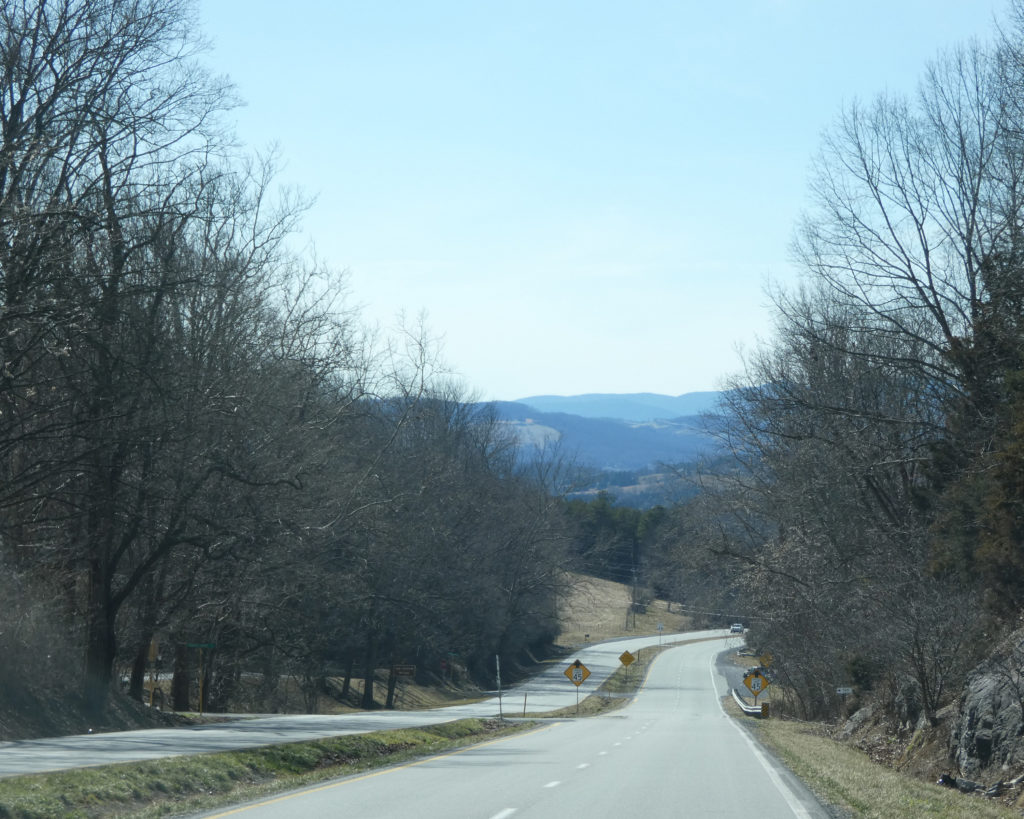
Of course for us, getting there (wherever “there” might be) is part of the adventure, so we chose a route consisting of all secondary roads, starting with Rt. 250 West over Afton Mountain.
Once in Waynesboro, VA, we turned onto Rt. 340 North and followed it through the little towns of Grottos, Elkton, and Shenandoah until we were just southwest of Luray, VA.
We turned west on Rt. 211, and this took us over a mountain into the town of New Market. From there we drove north on Rt. 11 until we reached Woodstock.
As we followed the signs towards Seven Bends State Park, we were surprised to see that there were two sections–one on Lupton Road, and the other on Hollingsworth Road. We were even more surprised to find that Hollingsworth turned into a dirt road that went down a very narrow, curvy, steep hill–with no guardrails. Yikes!
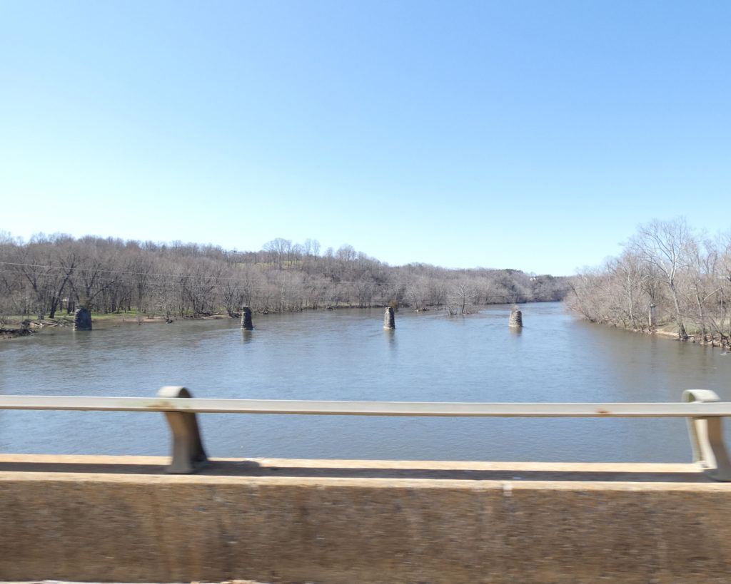
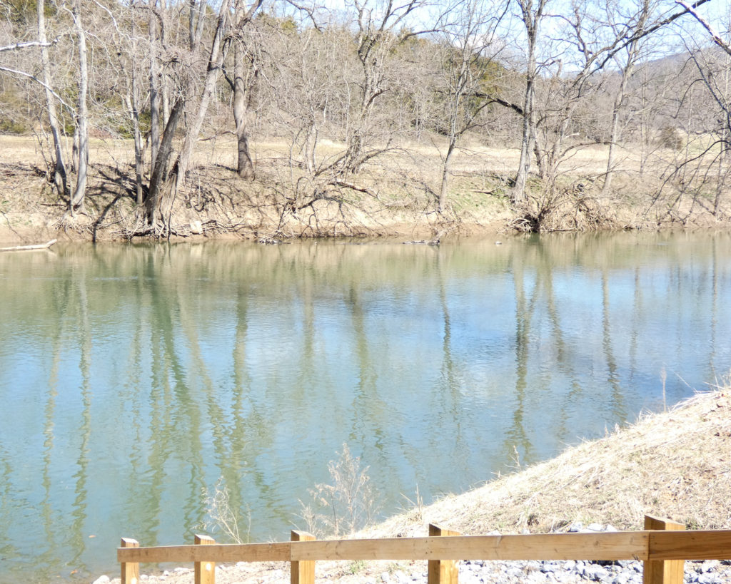
The next surprise was that we had to go across a one-lane concrete bridge that was just a couple of feet above the North Fork Shenandoah River!
Crossing the North Fork Shenandoah River
So what wasn’t a surprise was realizing why this is a day use only park. Due to the access roads and the very real potential for flooding, I’m not sure there would ever be a way to build a campground at Seven Bends…. Still, it would be a great place to kayak!
After walking a short distance along the river on the “Bass Bight Trail,” we went back to the car and drove to the other section of the park on Lupton Road. Once again we had to cross a low concrete bridge to gain access to the park.
View of the bridge spanning the North Fork Shenandoah River
We didn’t walk on any of the trails in this section, but we spent more time along the river.
When we left the park to start the drive home, we passed though Edinburg, Mt. Jackson, and others little towns on Rt. 11 before taking even more “secondary” secondary roads across the Valley.
Virginia has 39 state parks. We’ve visited some of them numerous times, but so far we’ve been to less than half of them! We’ll work on this; it’s good to have goals. 🙂
It was an incredibly beautiful day and we wanted to get outside and enjoy it. I looked up information about a Virginia State Park we hadn’t visited, so maybe we could go there…. Nope–all their trails were temporarily closed. Bummer…. Wayne suggested that we could drive down the Blue Ridge Parkway then cross over to Goshen Pass–but many parts of the Parkway were closed. Well, darn! Where should we go?
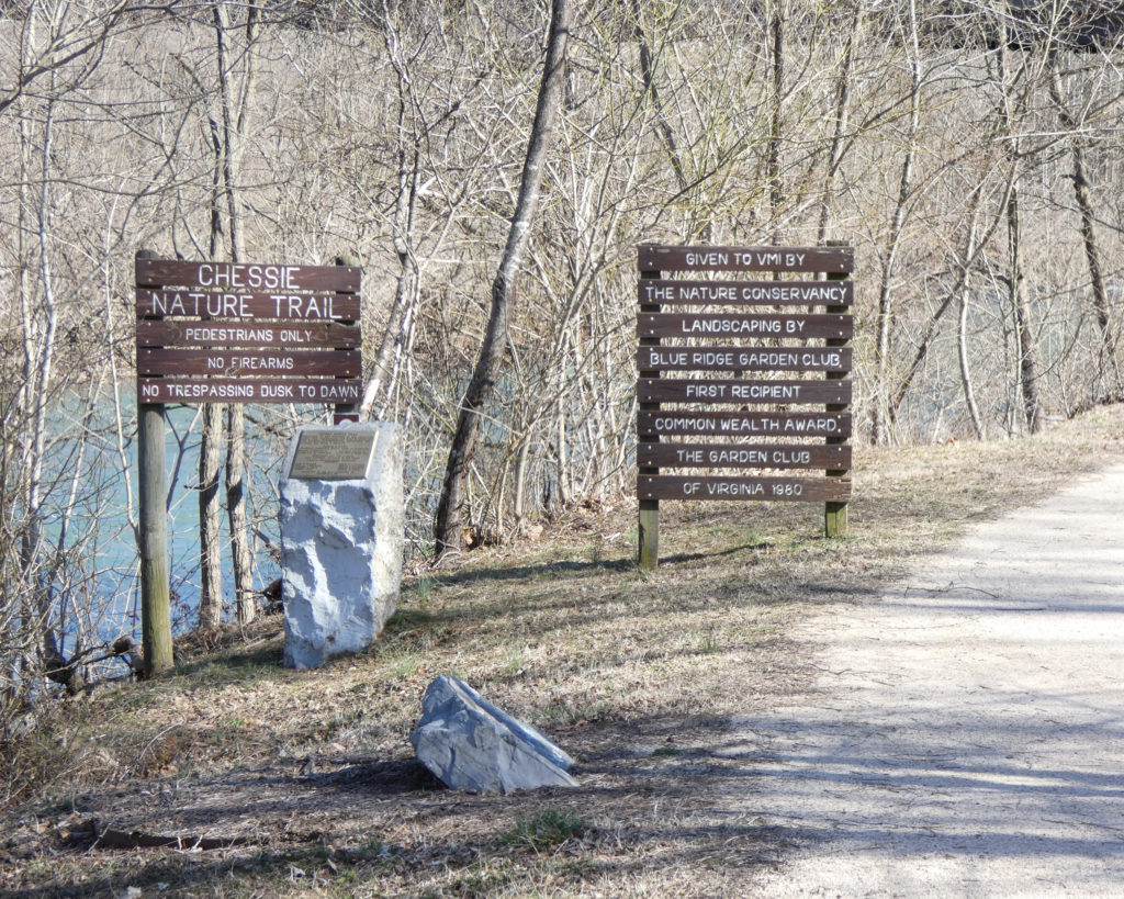
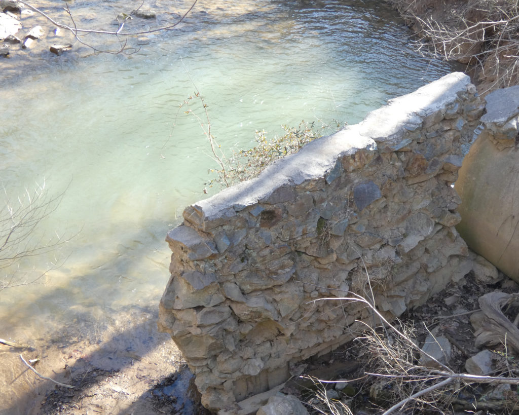
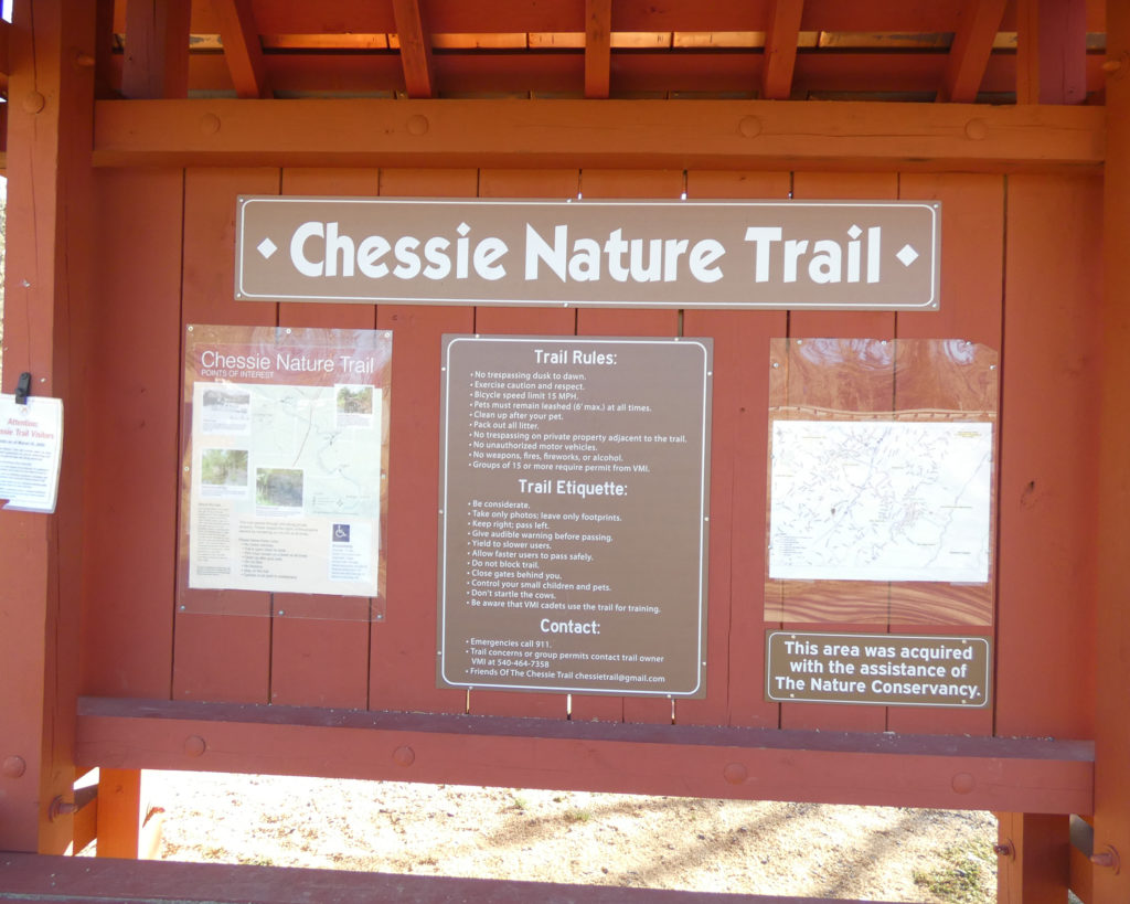
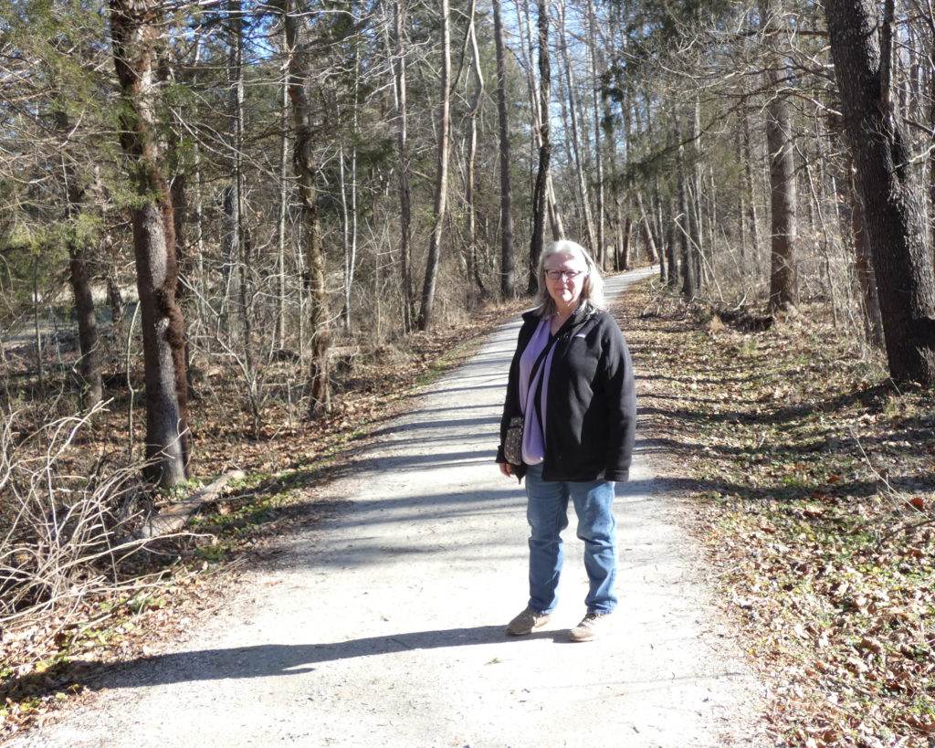
We always enjoy being near water, so I started looking up trails along the Maury River near Lexington. One sounded interesting–the Chessie Nature Trail–so I took a quick look at the map to get a general idea of where it was, then we hopped in the car and started down the road.
Since we weren’t in a huge hurry, we opted to head south through the Shenandoah Valley on Rt. 11 instead of on the much busier I-81.
As we arrived in Lexington, I realized I wasn’t exactly sure where the parking area for the trail was, and I hadn’t printed out the map. After we crossed the Maury River, we made a right into Jordan’s Point Park–a place on the Maury that we’d been before. We saw a sign for the Chessie Nature Trail there, but it wasn’t the section where I’d wanted to go. Oh well, no worries–we’d explore this area, first. 🙂
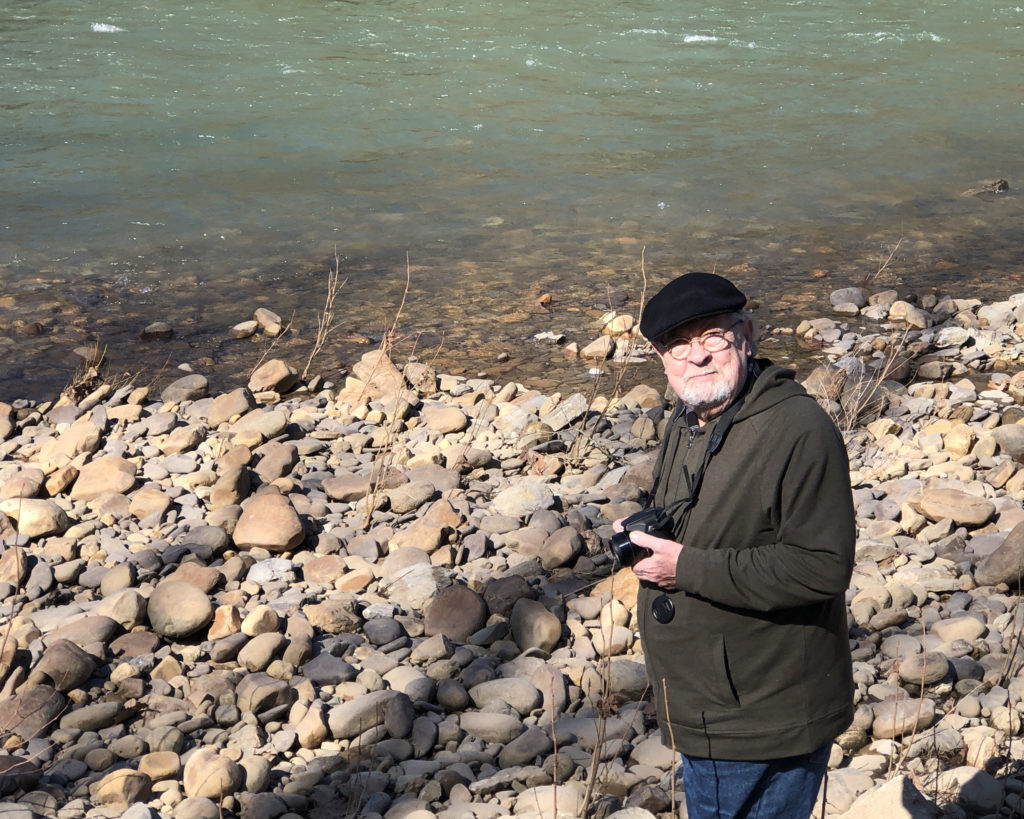
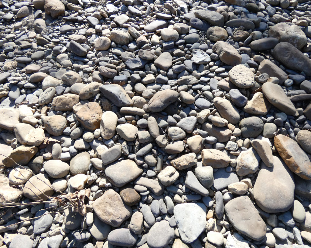
From the parking area, we started walking upstream. I stuck to the path while Wayne explored the rocks along the river.
We then doubled back through the parking area to walk downstream to the “Point” of Jordan’s Point.
There’s a lot of history in Lexington, Virginia, and this area is no exception. We wandered along the short trail loop on the Point, stopping to read the various historical markers and to look at the drawings and photographs of the buildings that used to be on this little bit of land.
So I’m going to pause here to set up a story about what happened next…
Keep in mind that walking on the Chessie Nature Trail was basically option #3 for the day, after a potential visit to a state park and a drive on the Blue Ridge Parkway didn’t work out. And also remember that we were on the “wrong” section of the trail and not the part that I’d seen on the map. And after arriving at the “wrong” place, we spent some time exploring a section of the river upstream before officially visiting the “Point” of Jordan’s Point, which is downstream from where we’d parked.
But somehow–as we were apparently moving randomly through time and space–things were falling into place to create a rather extraordinary event:
Wayne and I talk. A lot. Even on extended road trips we talk about the changing scenery, favorite memories, life goals, teaching, spirituality, the state of the world–whatever. We’re ALWAYS talking about one thing or another!
As we were approaching Lexington, our conversation had turned towards our parents (which is a frequent topic of conversation), and I told Wayne that not a day goes by that I don’t think about my mom and dad and how much I miss them. I got teary as I was saying this. I’m not sure what prompted this emotional reaction, but my mom and dad were very much on my mind, and the “missing” was surprisingly intense….
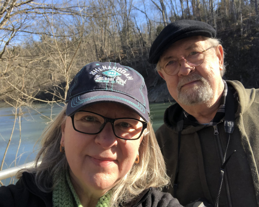
So as we’d almost finished our walk on the short trail loop around Jordan’s Point, I noticed a couple coming up behind us. They were wearing masks, so we put ours on. As they approached we said “Hello,” and as they walked by, I realized that the man was wearing a hat that said, “Crozet Library.” Wait, what?
I got their attention and they stopped and turned around. I said I’d noticed the hatand asked if they were from Crozet and we said that we were. The man said no, he wasn’t from Crozet, but added that he’d given a talk at the Crozet Library several years before and he’d been given the hat then.
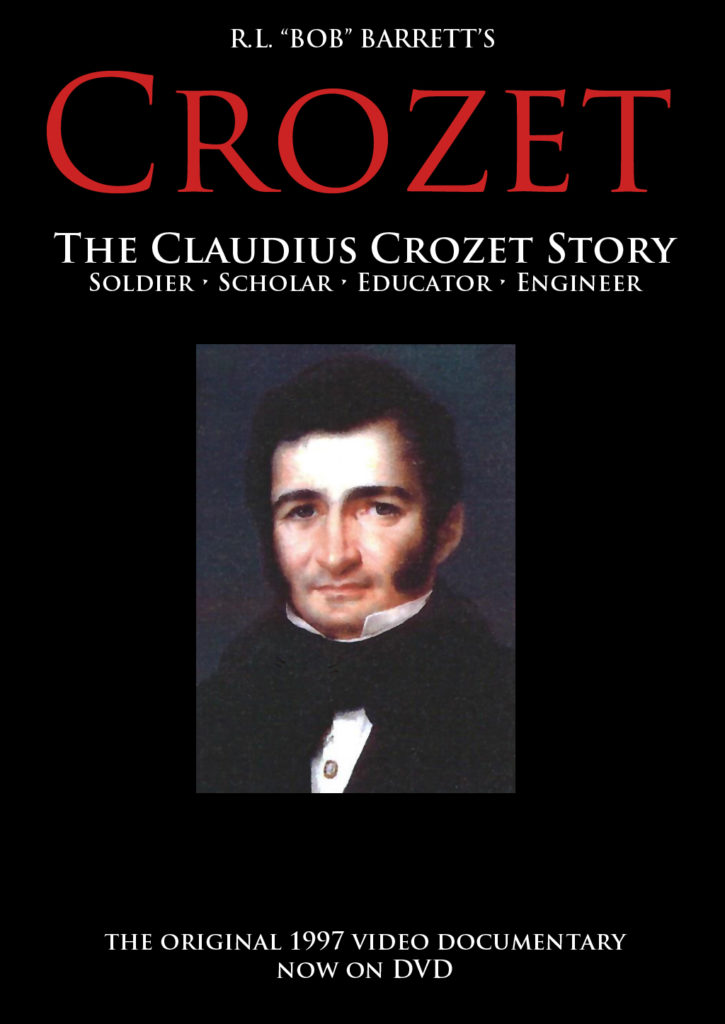
I asked what the talk had been about, and he said it was on Claudius Crozet, a French engineer and our town’s namesake.
Well, everything suddenly clicked into place! While I didn’t recognize the man–especially since he was wearing a mask– I’d actually attended this lecture! I was scrambling to remember his name and asked if he was “Mr. Hunter.” I couldn’t hear him well (since we were some distance apart, wearing masks, and had the river near us!) but I heard him say “Dooley,” and that Hunter had been his co-author on a book about Claudius Crozet.
At that point I introduced myself as Bob Barrett’s daughter. Mr. Dooley seemed surprised, and then said, yes, he’d known my dad quite well! They’d talked many, many times while my dad was working on–and then ultimately produced–a video documentary in the mid 1990s on the life of Claudius Crozet.
Limited copies of the DVD are available for $15+ shipping. Please message me if you are interested in owning a copy.
As context, my dad was truly fascinated by the life and work of Claudius Crozet. He did slide shows and lectures for years, and then–after he retired from teaching–he produced the video documentary on VHS.
In 2014 when I found my dad’s master copy of the tape, I had a limited number of DVDs made, mainly as a way to preserve his passion and his years of research. While I haven’t marketed the DVDs extensively, I’ve offered them for sale in my Etsy shop.
With the opening of the Blue Ridge Tunnel, there’s been a lot of interest in Claudius Crozet–and in my dad’s documentary. As a result, I only have a few DVDs left, but I’ve planned to have more made. I also hope to be able to offer the video as a digital download, but I just haven’t had (or made) time to get any of this done yet.
So anyhow, after we’d said our goodbyes to the Dooleys, I realized just how incredibly “coincidental” this encounter was! I mean, really–what led Mr. Dooley to wear this particular hat that he’d received in 2015 on this particular day when we “just happened” to be in Lexington, Virginia at a section of the Maury River that we hadn’t planned to visit?! And how incredibly “coincidental”–when I’d just been thinking so much about my father–to run into someone who knew him well! Seriously what are the odds?! (And of course, I have to wonder if this was a little cosmic nudge from my dad. Perhaps I need to get on with having more copies of his documentary made!)
Still thinking about all of this, we finished the short trail loop around Jordan’s Point, then got in the car, drove back over the bridge, took a right and went to the parking area for the Chessie Nature Trail where we’d originally intended to go. 🙂
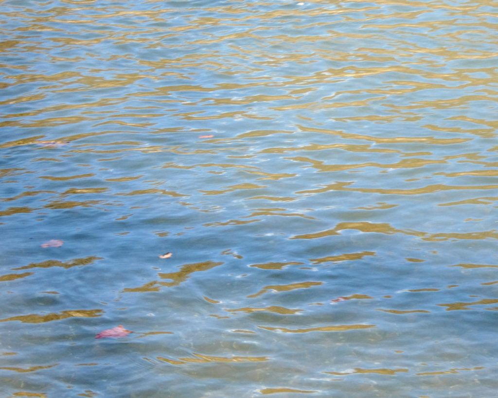
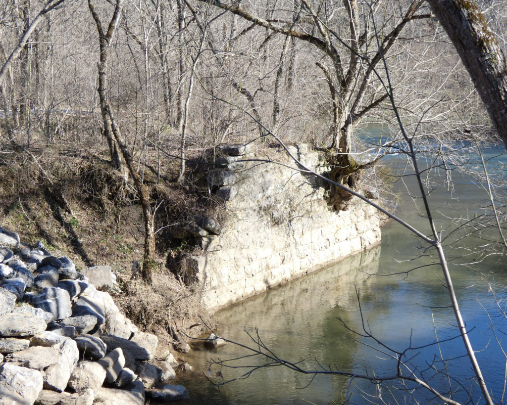
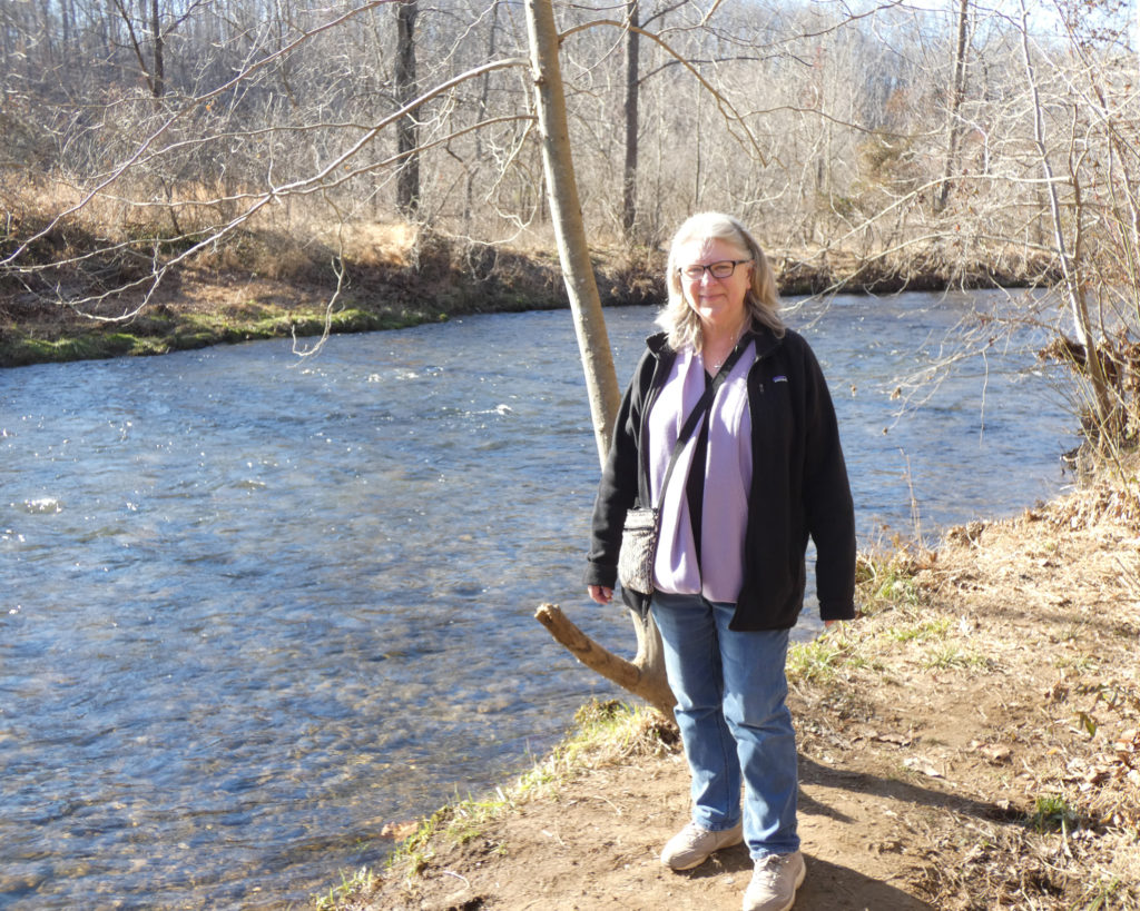
I am always so amazed by the color of the Maury River….
The trail and the river actually curve here!
This is definitely a trail we’d like to visit again! While I’m not sure we’d be up for walking the full length of 7 miles (we just walked a little over a mile this time), I’d love to follow this beautiful river a little further!
It was late in the afternoon by the time we got back to the parking area and we were both hungry. We stopped at a fast food restaurant, ate in the car, and then started the drive back up the Shenandoah Valley.
While we always enjoy our rambling trips through scenic Virginia, this outing was certainly made even more special by the “chance” encounter by the Maury River with someone who knew my father. In my mind, this seemed to confirm and reaffirm the love and the ongoing bond and connection that I have with my parents. It was a beautiful day….
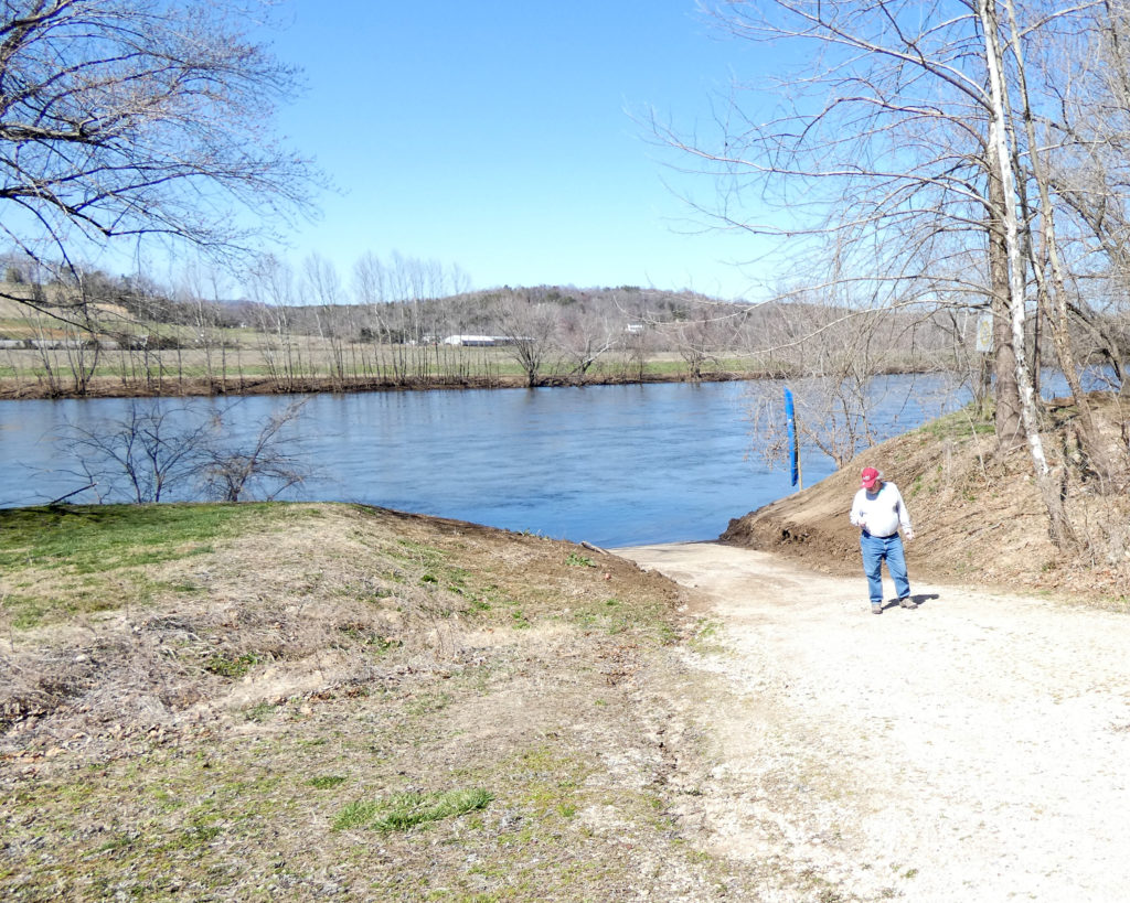
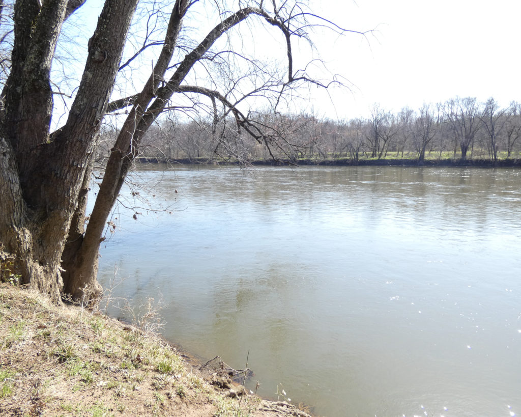
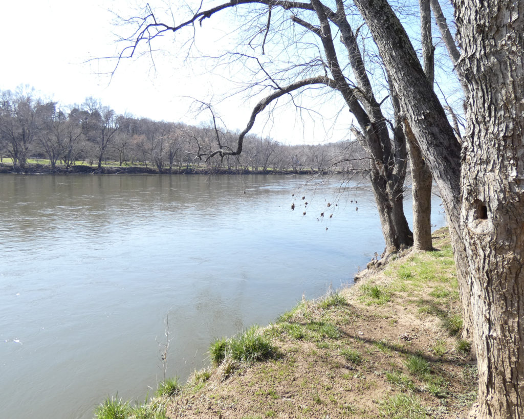
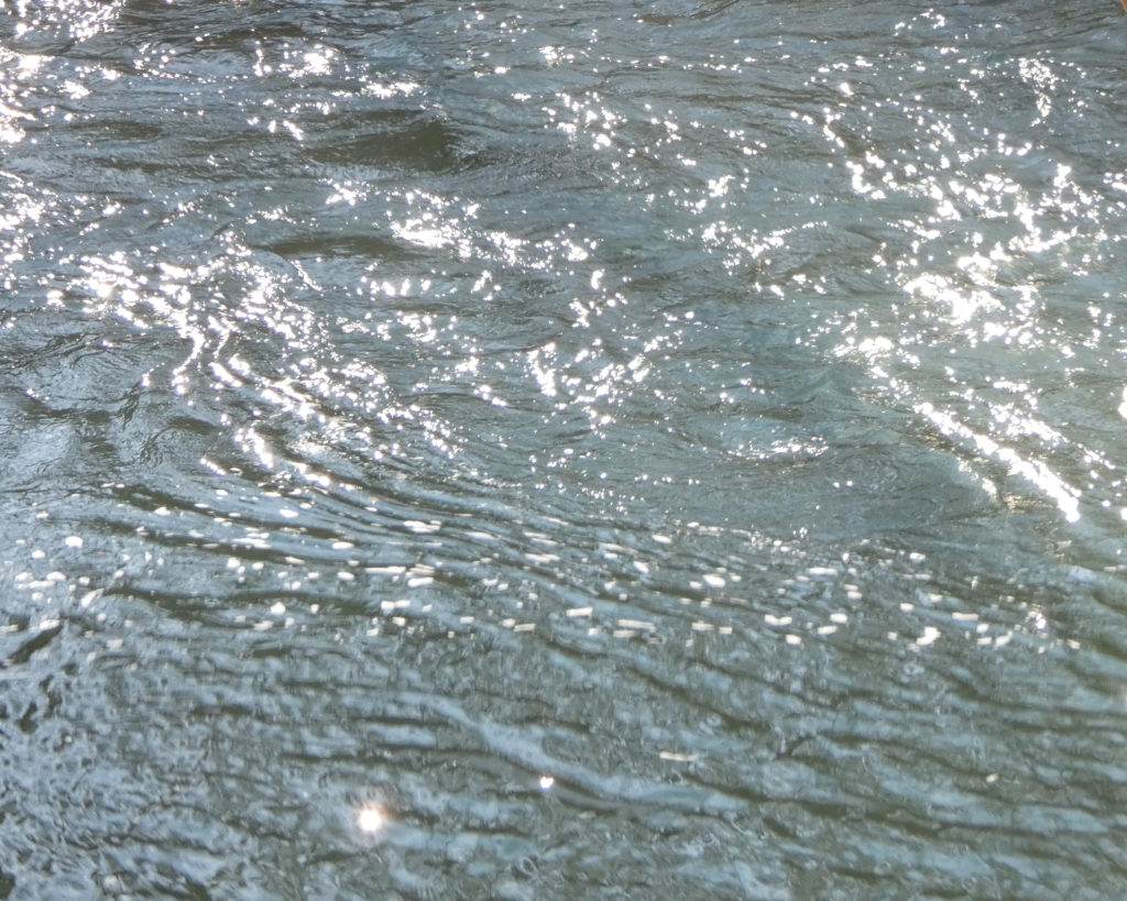
It was a beautiful winter day; perfect for an outing. We drove down Rt. 151 through Nelson County to the Virginia Blue Ridge Railway Trail along the Piney River.
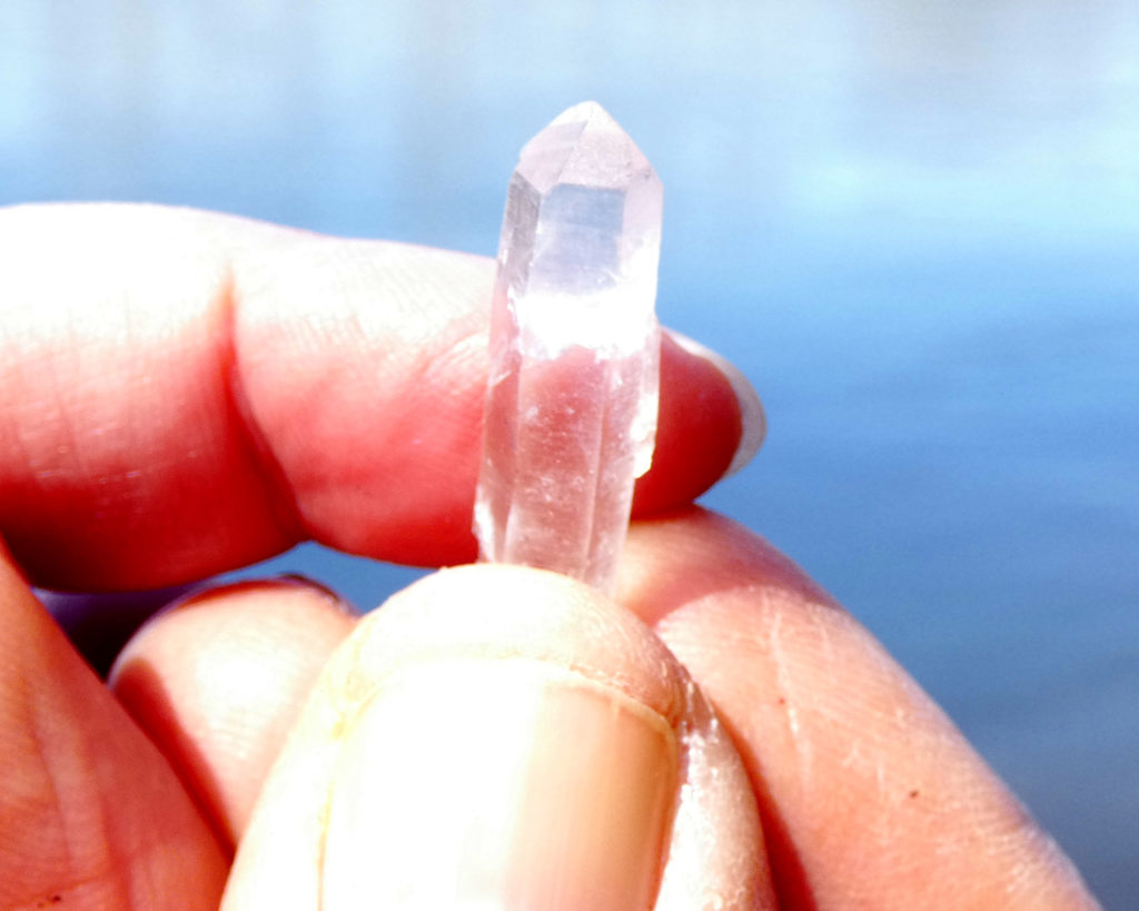
Symbolically blessing the waters of the Piney River with a small quartz crystal
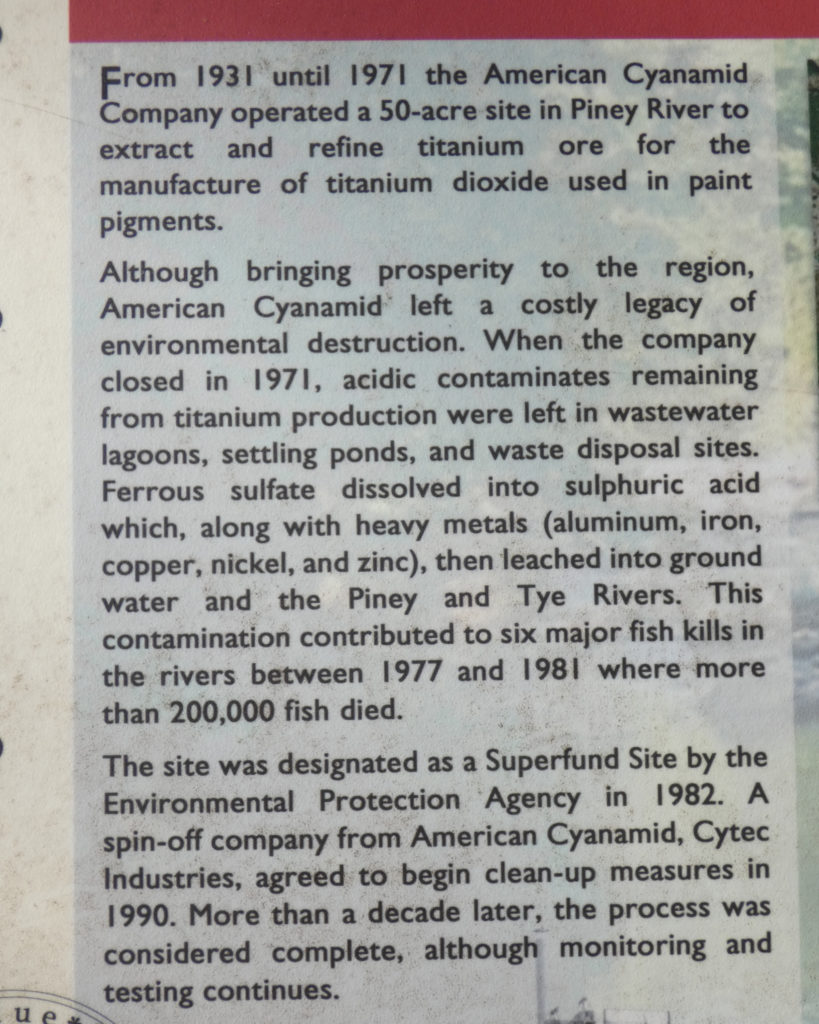
Containment area for contaminants…..
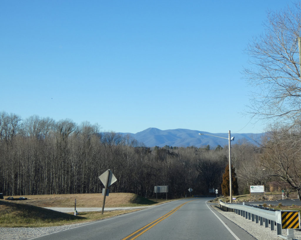
We turned around shortly past the one-mile mark and made our way back to the car. From there we continued to Rt. 29 South, and then turned on Rt. 60 West. This ultimately took us up the mountain to the Blue Ridge Parkway entrance near Buena Vista.
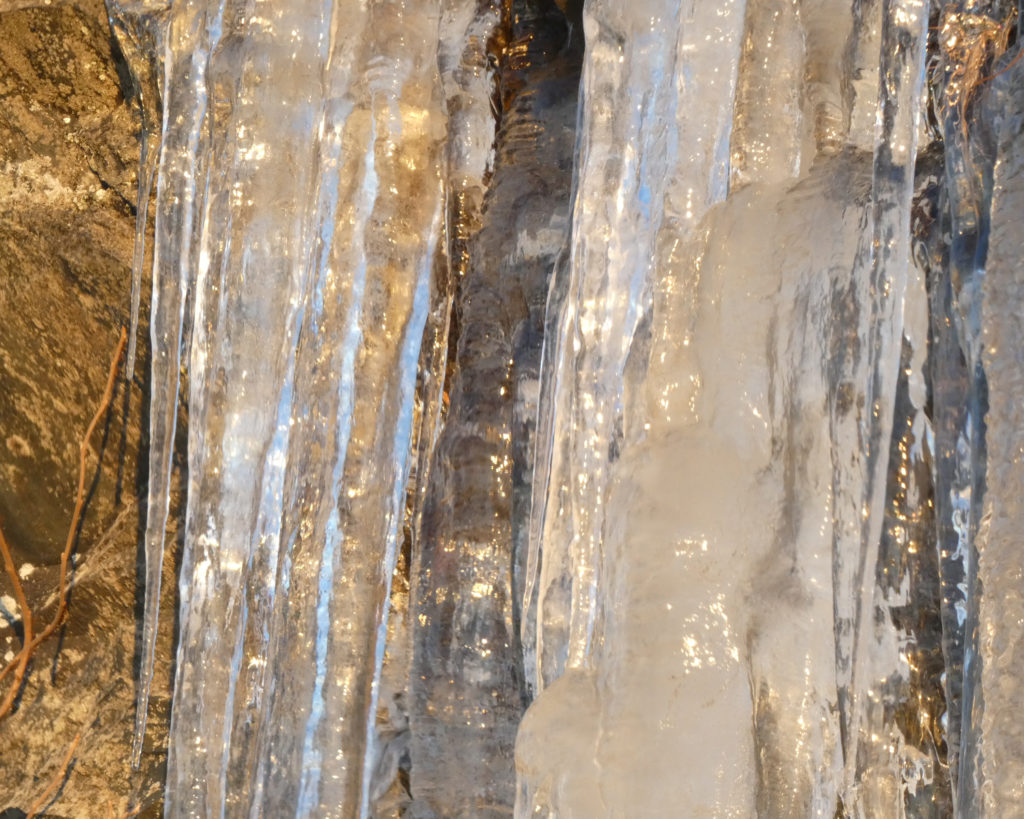
It was cold on the Parkway–late afternoon temperatures were in the low 30s–and there was plenty of ice on the rocks.
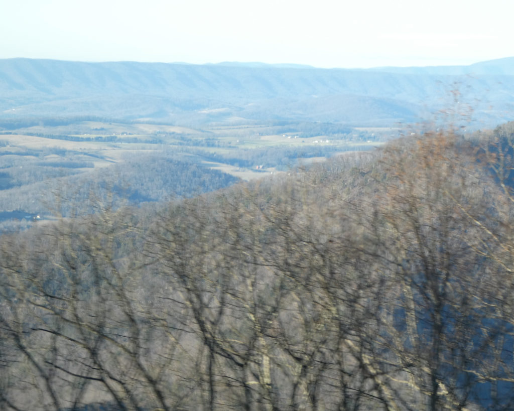
Driving slowly and stopping frequently to savor the views, we reached the north end of the Blue Ridge Parkway at sunset.
We’re so thankful to have these special places within an easy drive–and doubly thankful that Wayne has the (restored) health to be able to enjoy them. <3
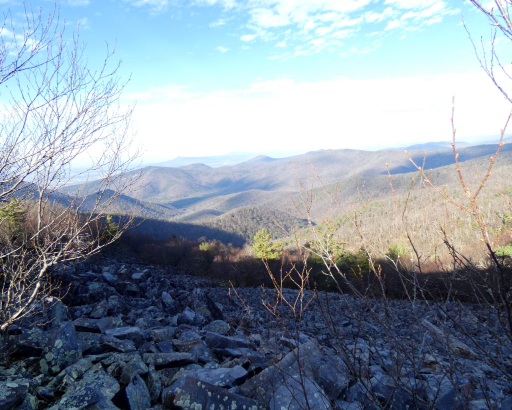
This morning Wayne said he’d like to go to Blackrock Summit on the Skyline Drive. It seemed pretty ambitious to me given that he had major lung surgery in early November, but spending a day on the mountain seemed like a good way to spend a surprisingly warm December day.
A short while later when checking my Facebook “memories,” I was very surprised to see that we’d visited Blackrock Summit on December 12, 2015. Quite the “coincidence”!
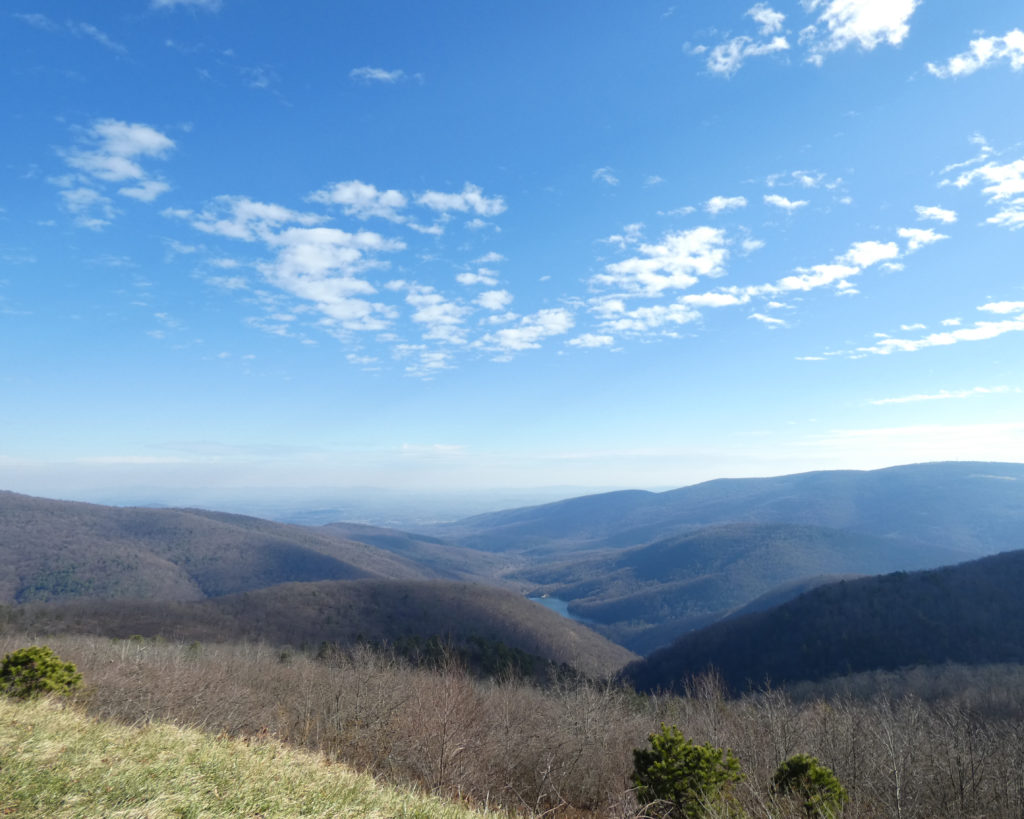
Early in the afternoon we drove up to the mountain and turned north onto the Skyline Drive, enjoying the views and stopping at random overlooks.
Moorman River OverlookSugar Hollow Dam
We noticed a lot of cars on the Skyline Drive, so we weren’t too surprised to find that the parking lot at Blackrock Summit was full. We parked along the road and walked back towards the trail. Then, after some quick pictures, we started up the mountain.
This is actually one of the easier trails in the Shenandoah National Park, but there are still some inclines, plus you always have to watch your feet to avoid tripping over roots or rocks.
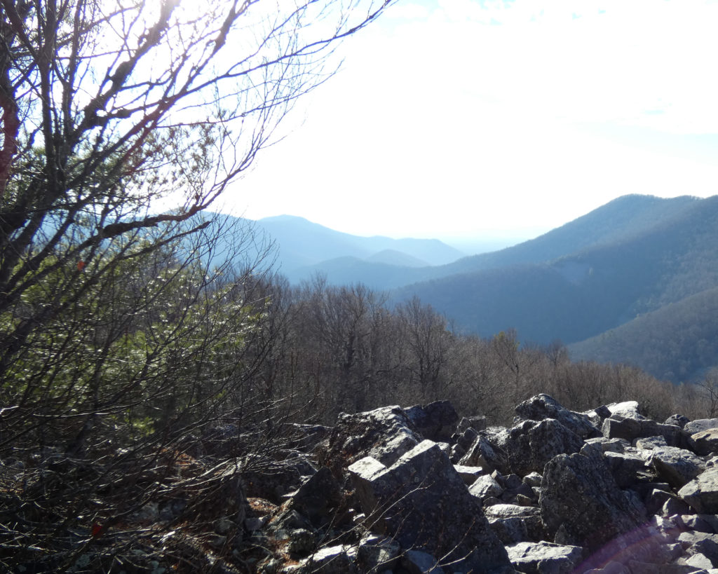
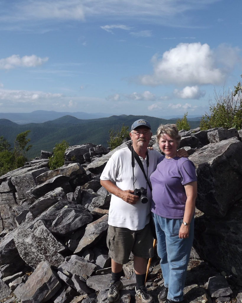
We took it slowly and stopped to rest when we needed to, but finally we reached the summit!
To say this was a big accomplishment for Wayne is an absolute understatement; I felt a mixture of awe, concern, and gratitude that he was able to do a hike like this so soon after his surgery. We took a “selfie” in the spot where we’d taken one five years before, and it should be noted that in December 2015, Wayne was recovering from another serious medical procedure!
December 12, 2015 & December 12, 2020
We also took a picture with our masks on, and we were so pleased to see that the majority of people on the mountain had masks they would put on whenever they had to pass on the trail or were otherwise close to people.
What’s so special about Blackrock Summit? This!
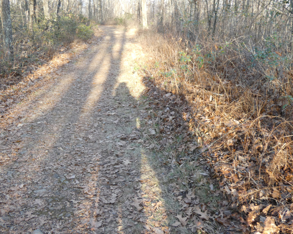
After enjoying the sunshine and the scenery for a while, it was time to start back down the mountain on a different trail (which actually included some uphill climbs).
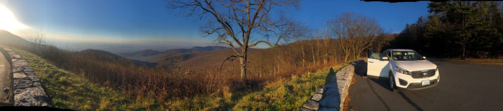
The Skyline Drive (and the Blue Ridge Parkway, where we go most often) are both scenic roadways built along the spine of the Blue Ridge Mountains. Overlooks sometimes offer east views and sometimes west views. We enjoy both. 🙂
At some point, Wayne admitted that he’d kind of forgotten how far it was to the summit (about 8/10 of a mile) and how long some of the inclines were. I hadn’t forgotten, as we’ve been up there several times!
2013 & 2014
While this was undoubtedly the most challenging trek up to Blackrock Summit, it may be remembered as one of our favorite trips, given the circumstances…. Wayne still has a ways to go with his recovery (which includes physical therapy and a pulmonary rehab program), but holy cow–he climbed a mountain today! <3