One of our favorite places to visit (and to camp) is James River State Park. Blessed with a beautiful early spring day, we set out for yet another day trip to the park. 🙂
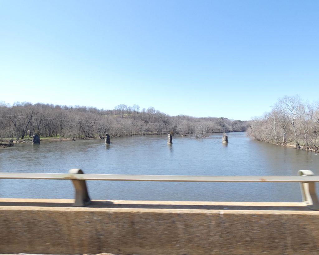
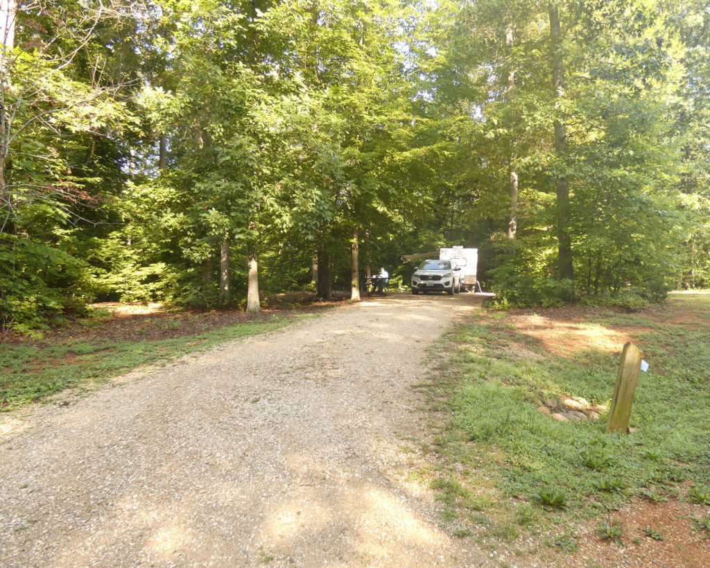
When we got to the park, we drove through the campground, first. We were delighted to see several campers there enjoying the spacious, woodsy atmosphere of the campground. How spacious? This is a picture of our amazing campsite at James River in 2019, and this is the blog post I wrote after our camping trip: https://art-rageous.net/artrageousblog/?p=4374
Driving further into the park, we stopped at the visitor’s center before starting up Cabell Trail to the Tye River Overlook.

And I do mean UP the trail…
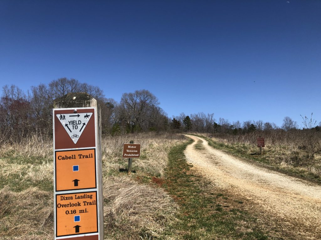

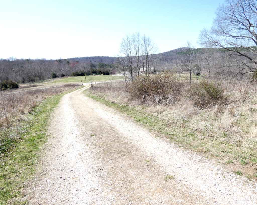
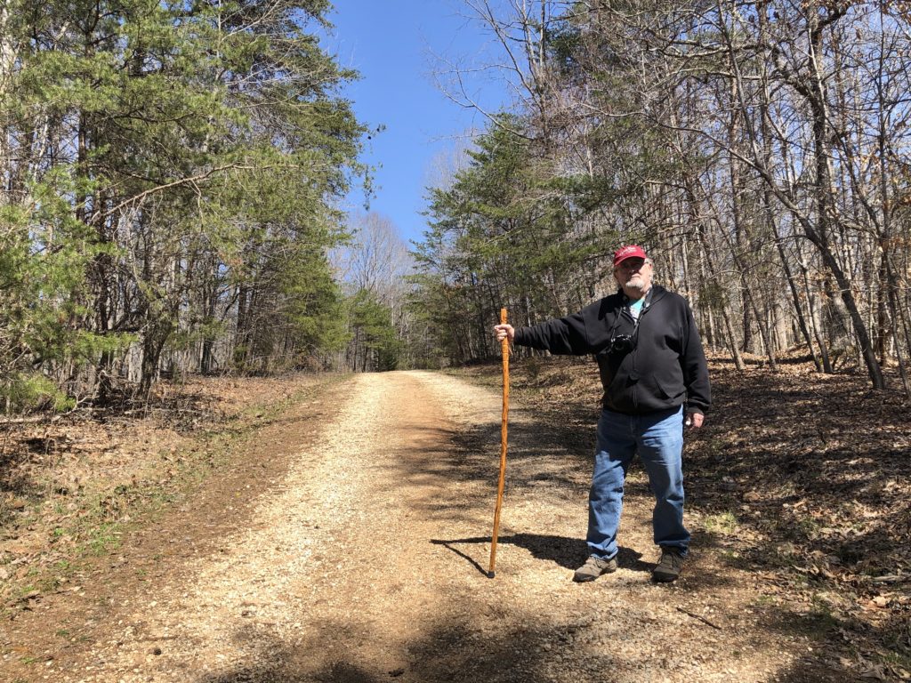
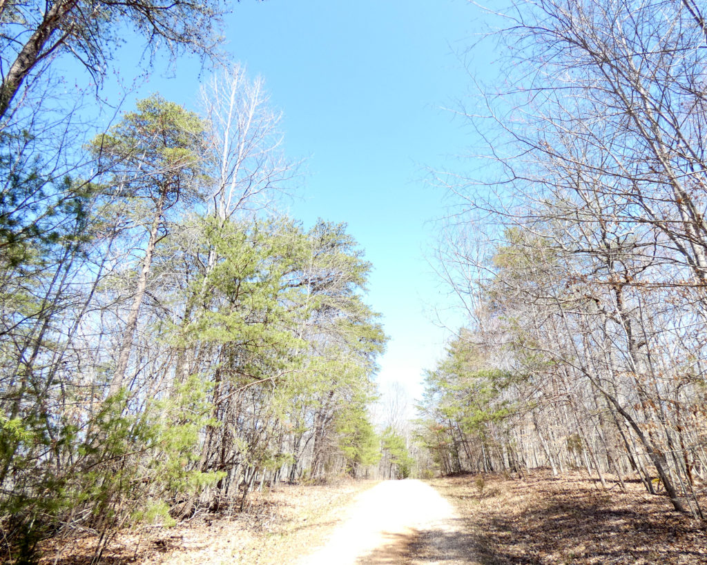

While it’s not steep, this trail is mostly uphill. The view, however, is well worth the effort to get there!
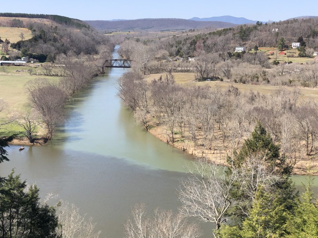
The confluence of these rivers is somewhat unusual because the Tye flows into the James at almost a 90-degree angle. Apparently most confluences form a “Y” shape. It’s also interesting to see the different colors of the rivers where they meet. We’ve noticed the same thing at the confluence of the Maury and James Rivers at Glasgow, VA, 50+ miles to the west.

Whoops–someone had left a cell phone on one of the benches at the overlook! When I pressed the home button, the picture that came up was of two dogs. Aha–we’d passed these doggies–and their owners–on our way up the trail as they were walking down. When we were ready to leave, I stuck the phone in my pocket so I’d have it in case the owner was coming back to the overlook to retrieve it. If we didn’t meet on the trail, I’d leave it with the park ranger at the visitor’s center.
We were about halfway down when the lost phone in my pocket rang! The woman who’d lost it said they were staying in one of the cabins and that she’d drive back to the visitor’s center to meet me. She was waiting for us there when we reached the bottom of the trail, happy that she didn’t have to trek all the way back to the overlook. 🙂
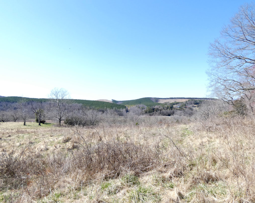
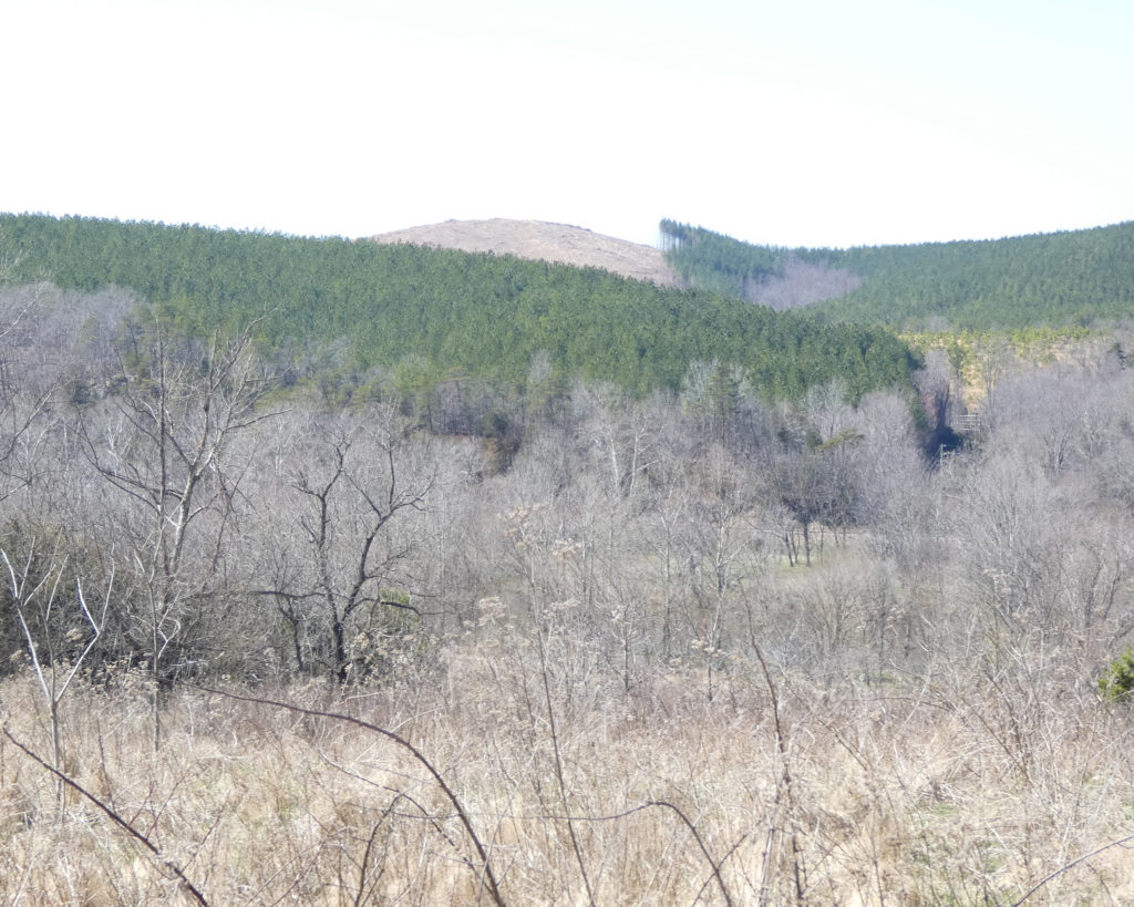
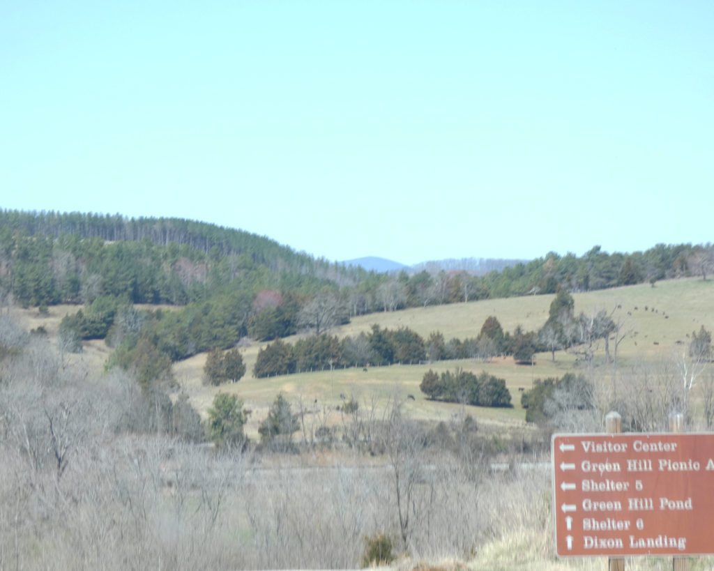
Before leaving the visitor’s center, we paused to take in the view. These bare, distant hillsides were previously covered with trees. I know that lumber is a sustainable resource, but it always makes me sad to see areas that have been clear cut. I wonder how many animals are displaced when this happens?
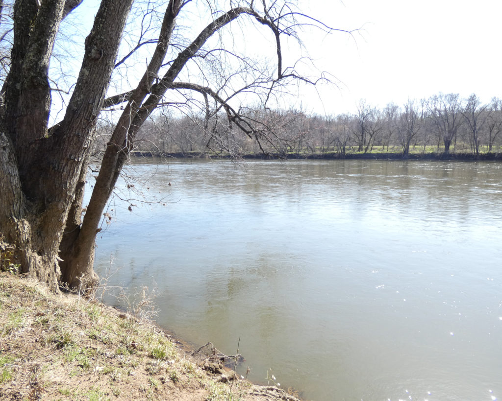
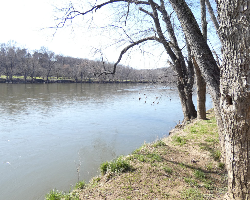
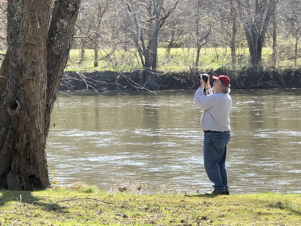
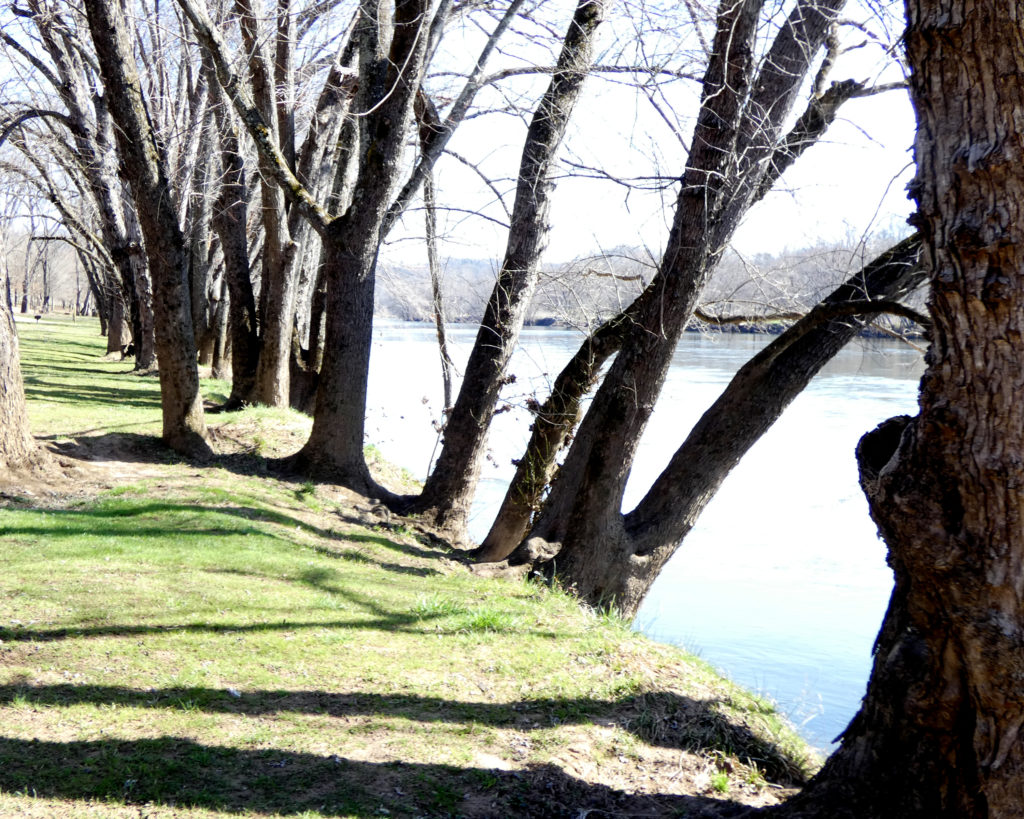
Our next stop was Dixon Landing. This is a “take out” spot for people who kayak or tube from the park’s canoe livery area, which is about two miles upstream. We didn’t see any kayakers this time, just the wide, quiet river. Blessings to the James….
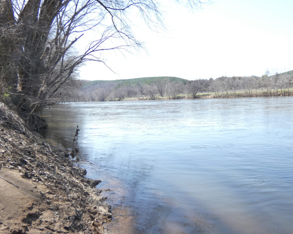

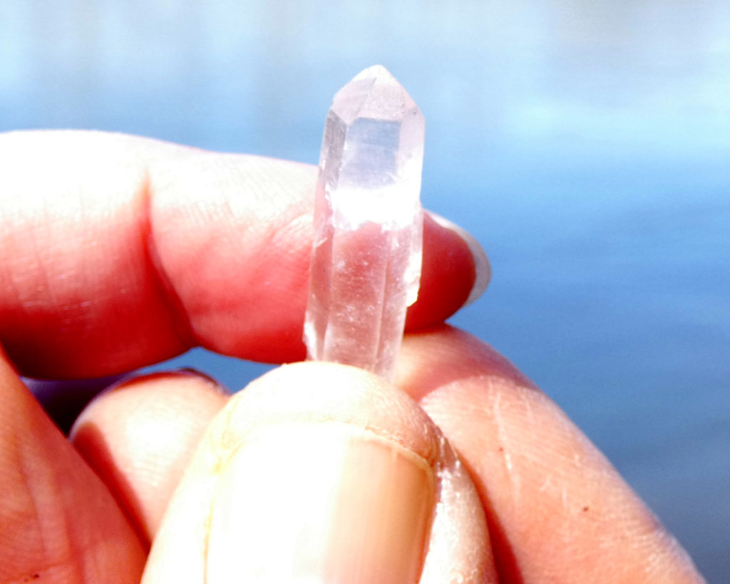
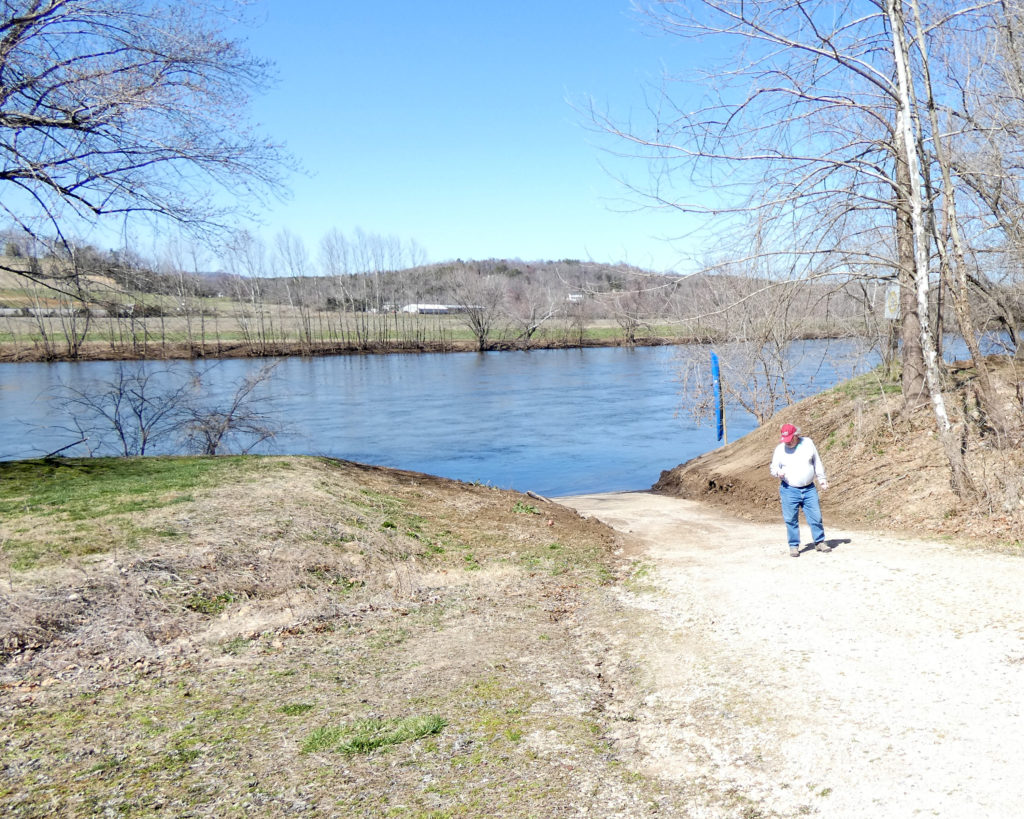
Our final stop in the park this time was the picnic area and the canoe livery (which is still closed).
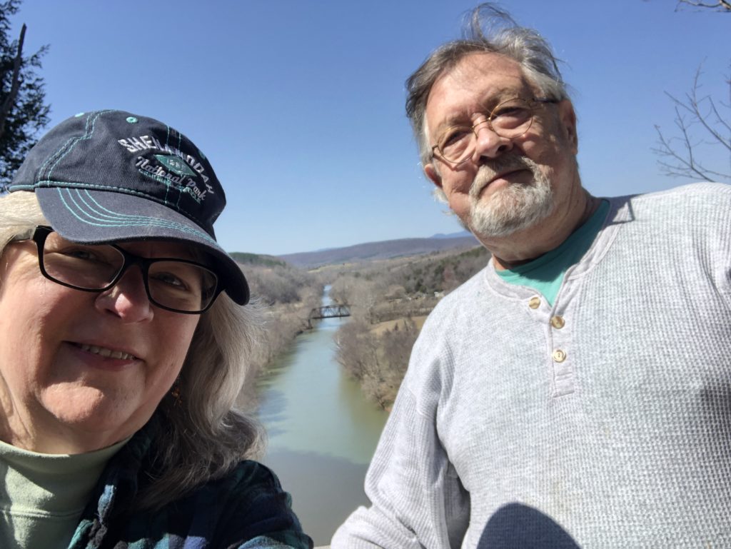
Over the years–and in every season–we’ve taken “selfies” and made some wonderful memories at James River State Park.
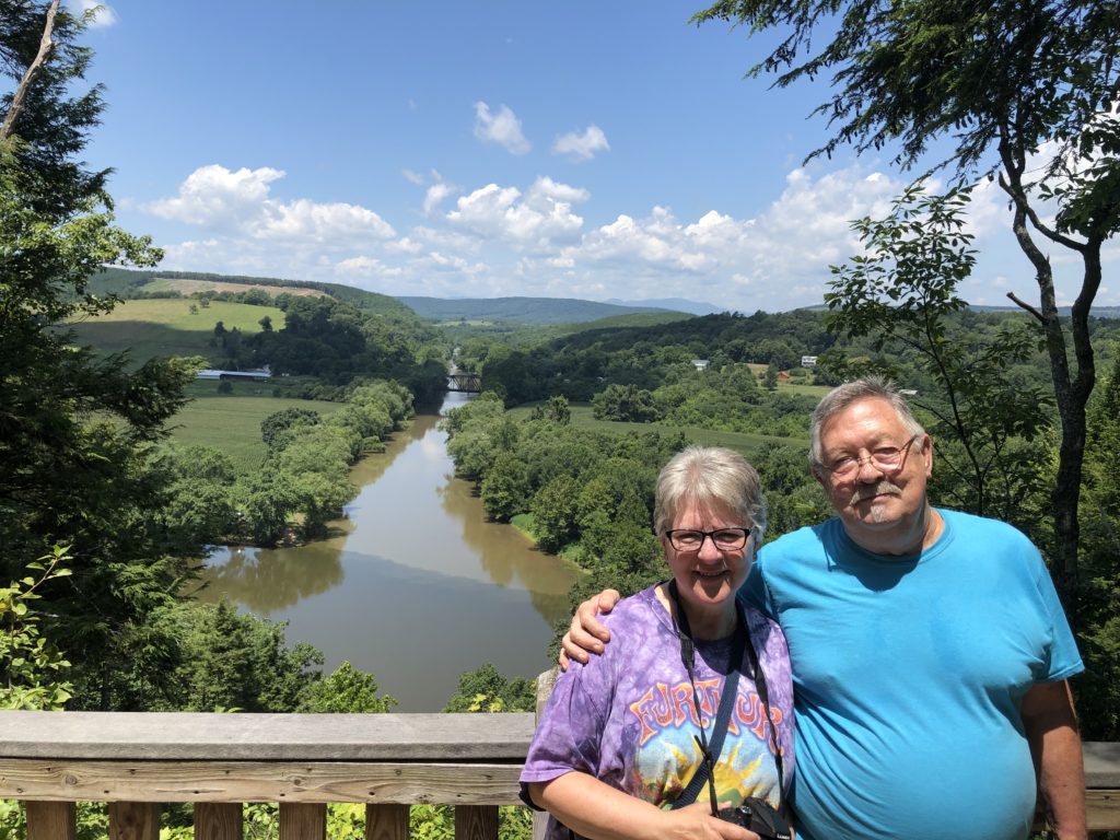



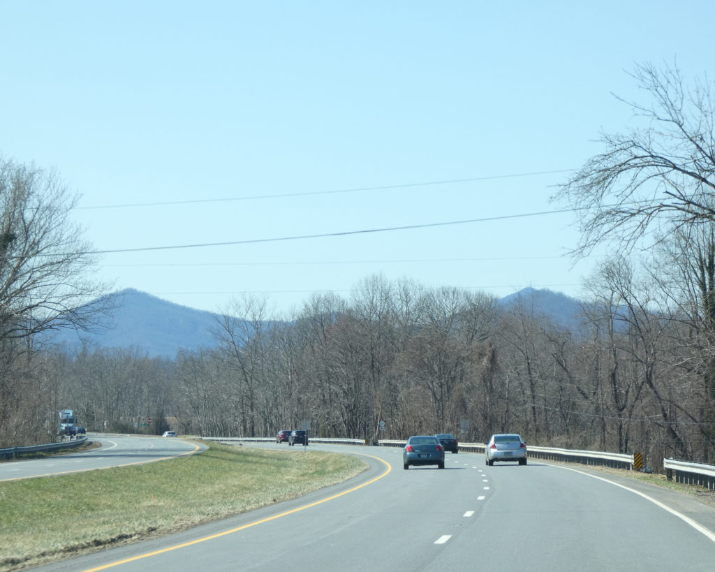
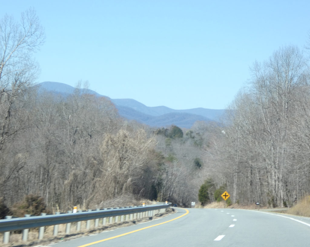
The 7-mile drive from the park back to Rt. 60 is so pretty…

LOL, it was along this road in 2014 that we met “the singing bull…..”


Instead of following Rt. 60 West all the way back to Rt. 29 North near Amherst, we took a shortcut by turning onto Rt. 657 (Tye River Road). I guess it’s not really a “shortcut” if you stop to take pictures along the way….


It was such a nice day, and we love exploring all of the beautiful places in our state! We look forward to visiting James River State Park again sometime this summer.
Until next time,
Sharon & Wayne

