Wayne and I began going to Virginia’s state parks each New Year’s Day two years after the “1st Day Hike” program was started. While we never participated in the ranger-guided hikes that were offered at each park on January 1st, we always enjoyed visiting and exploring on our own.
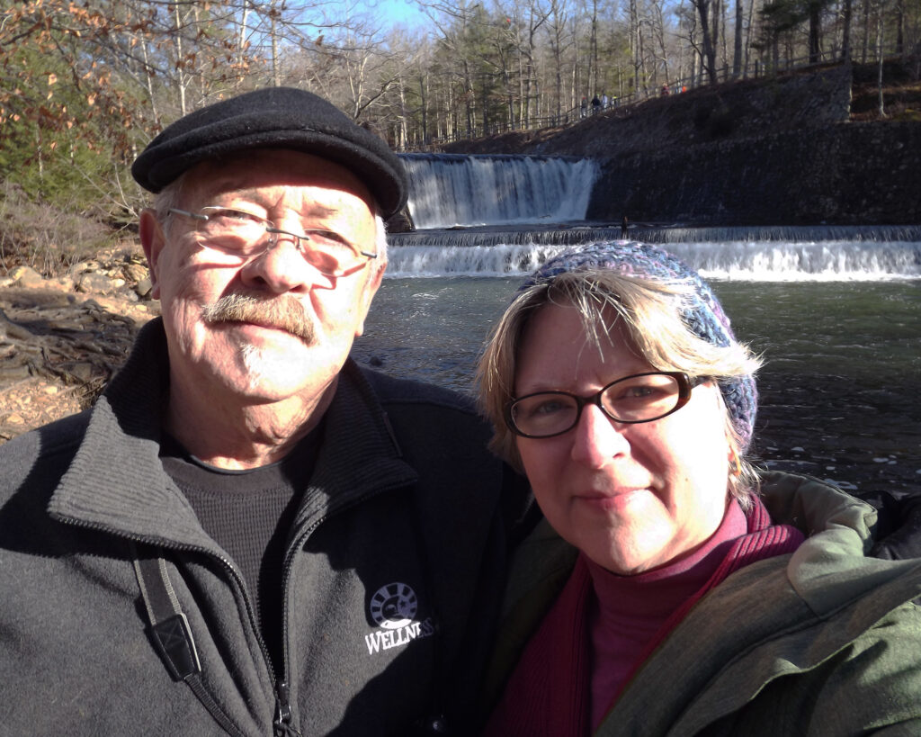
In 2014 we went to Douthat State Park:
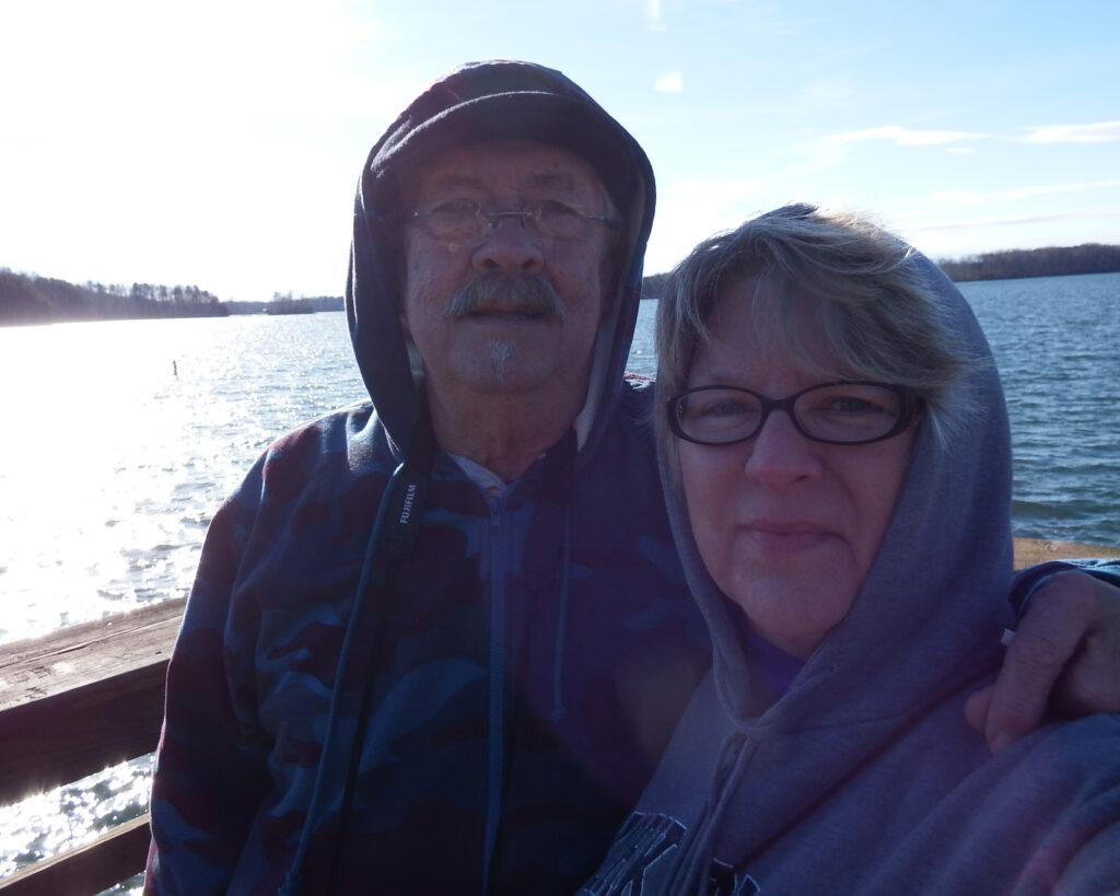
In 2015 we went to Smith Mountain Lake State Park (and it was really cold & windy!):
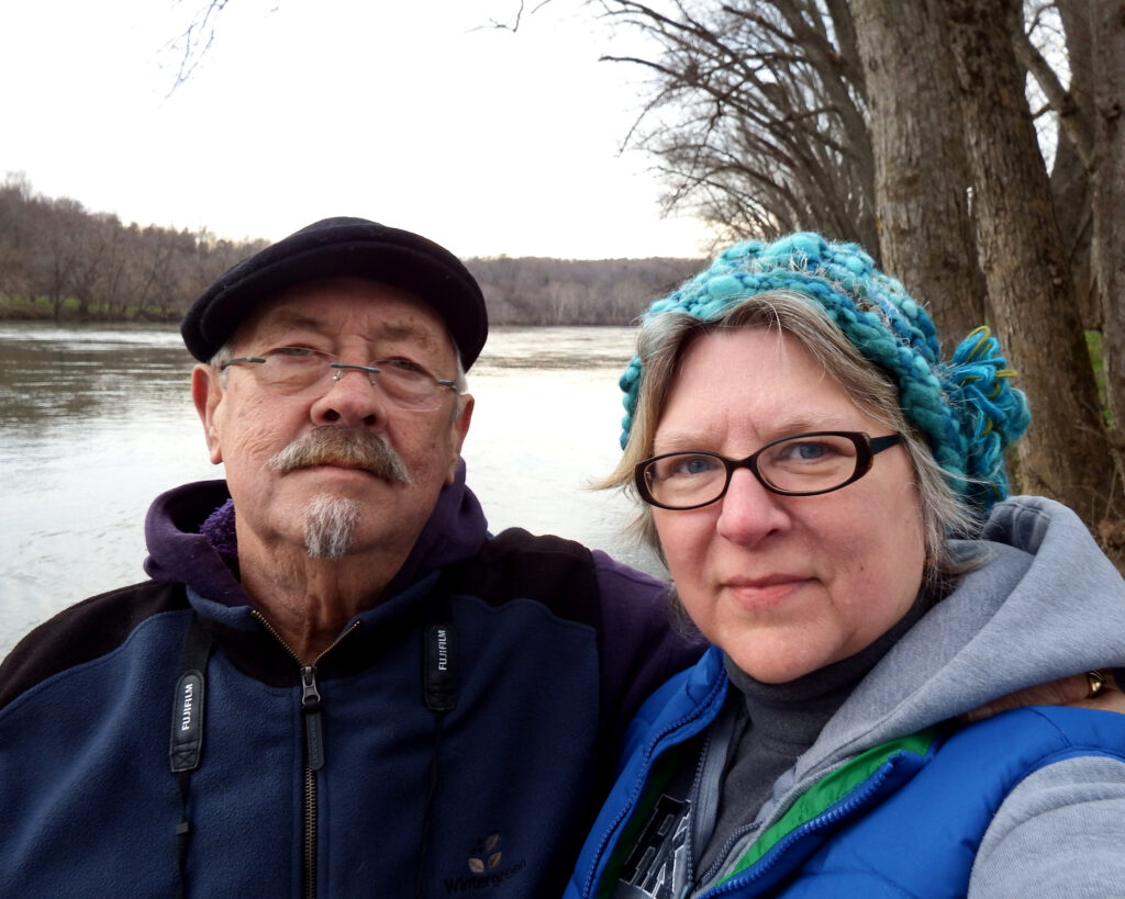
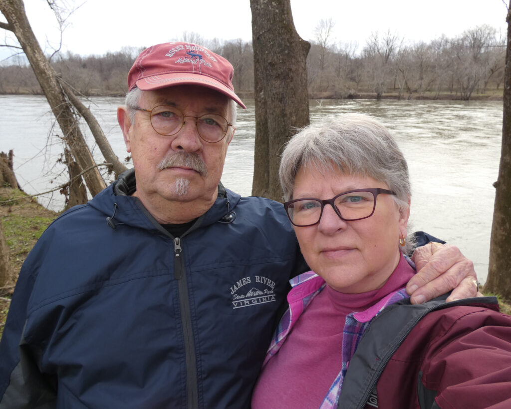
In 2016 we went to James River State Park:
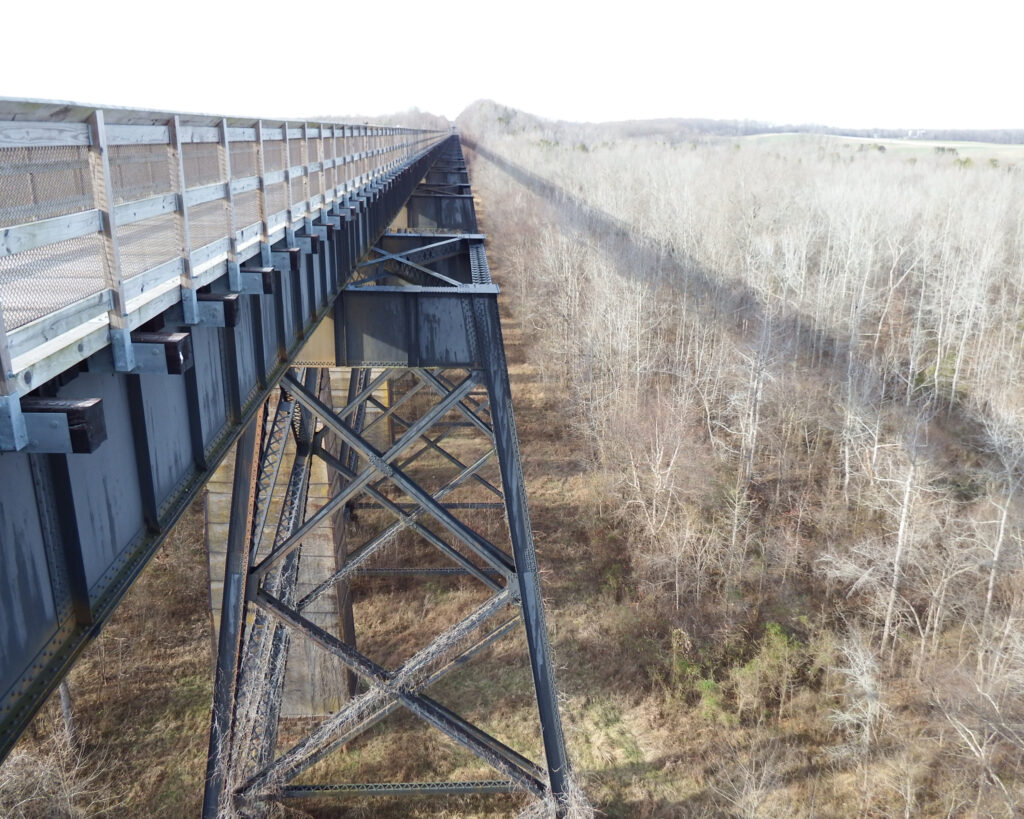
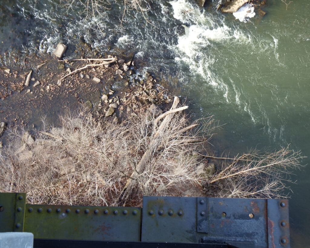
In 2017 we went to High Bridge State Park:
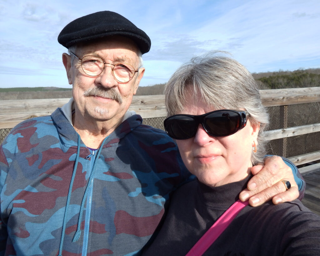
(This was our first trip there, and it’s called “High Bridge” for a very good reason!)
On January 1, 2018, the temperature was in the teens, and the windchill was making it much colder. We knew we wouldn’t want to spend a lot of time outside, so instead of going to a state park, we went for a drive along the Blue Ridge Parkway. We got out of the car a couple of times, but since it was 14 degrees we didn’t stay out long!
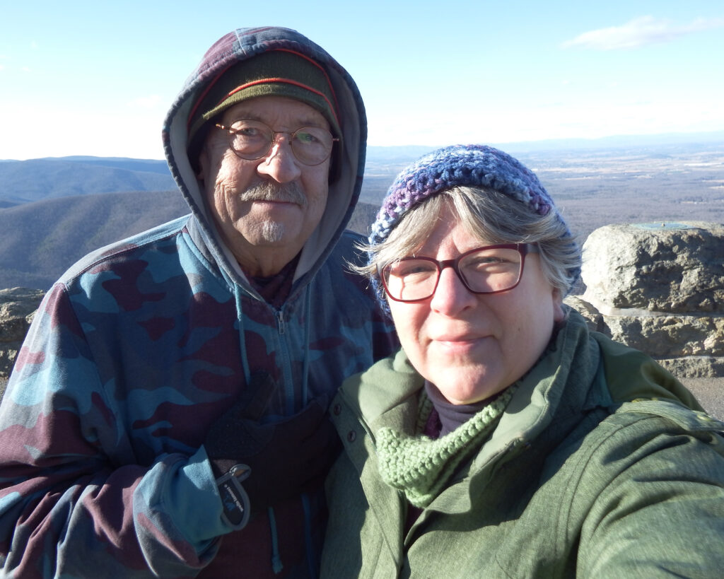
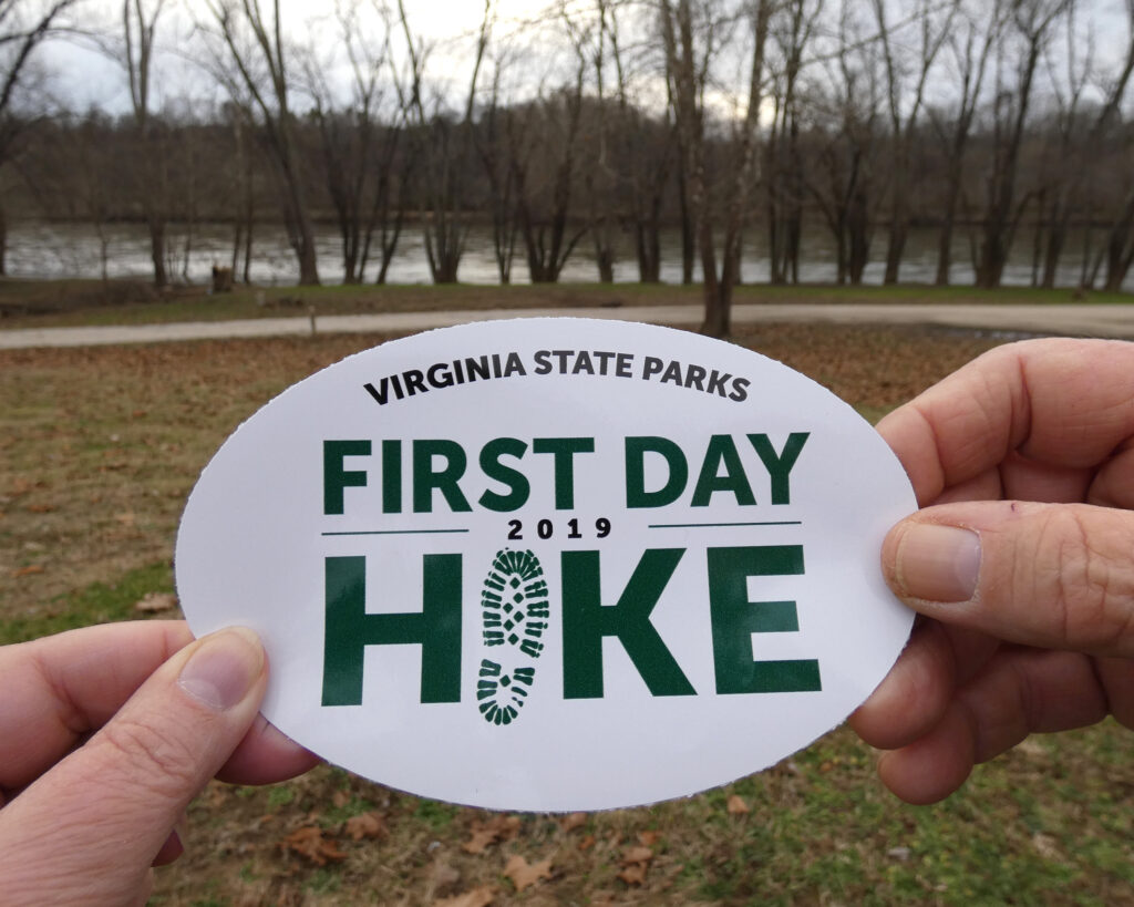
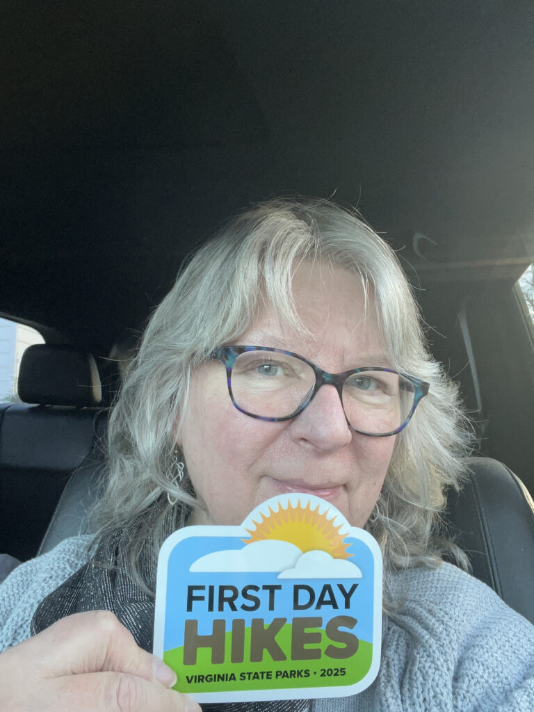
We went back to James River State Park in 2019, and that was the first time we got a “First Day Hike” sticker.
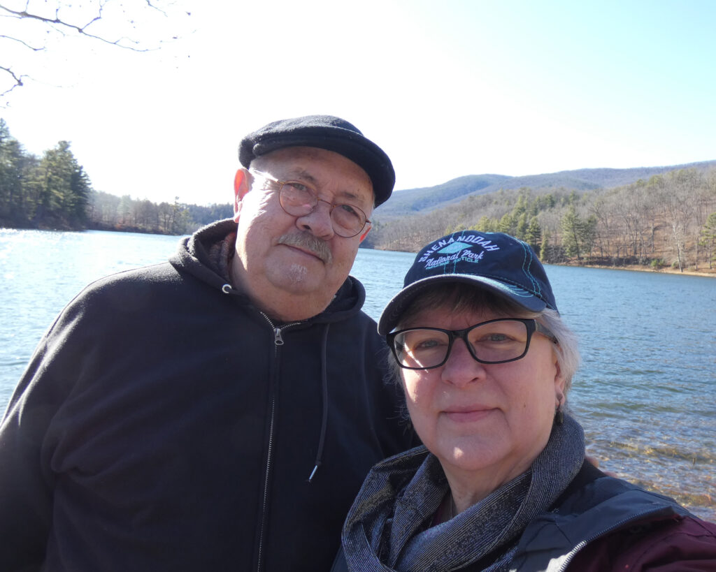
While we did lots of day trips and camping trips to our beautiful state parks in every season over many years, our last official “First Day Hike” together was on January 1, 2020 when we visited Douthat State Park again:
This year I really felt not just the desire, but the need to restart the tradition of going to a park on New Year’s Day. Since adventures are usually best shared, I reached out to several different female friends to see if anyone would want to go with me, but everyone already had plans. Alrighty….
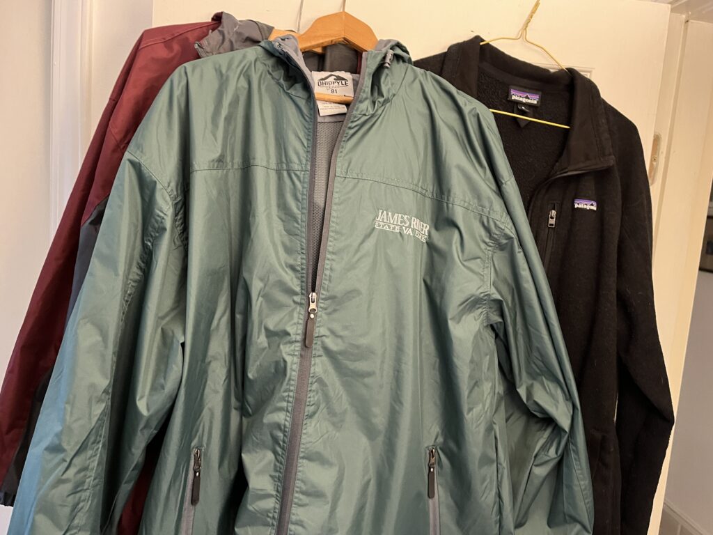
I decided to go to James River State Park because it’s the closest (at about 60 miles), plus I wanted to get a new jacket in the visitor center gift shop. It’s also the park that Wayne and I went to most often on day trips, plus we camped there.
I left home around 9:30 am, and when I started the drive down Rt. 29 South, I was the only car on the road for the longest time. That’s not something you see very often.
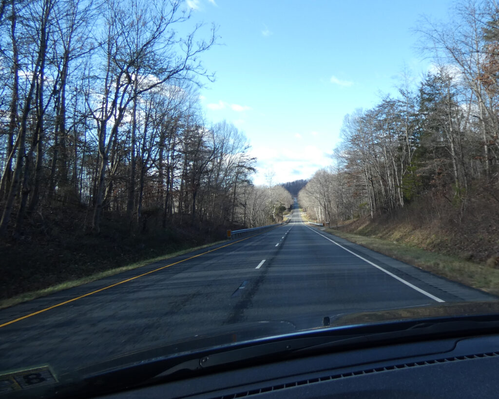
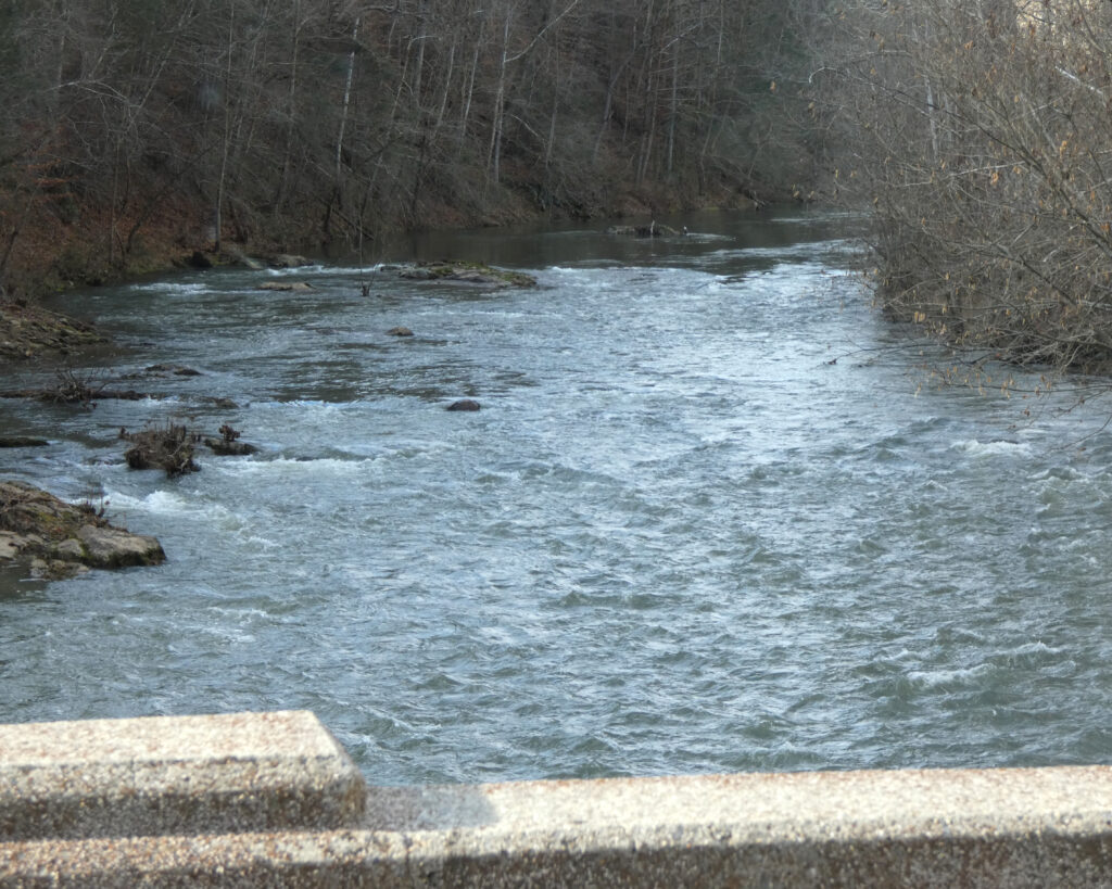
Just south of Lovingston and Colleen, I turned left onto Tye River Road. This pretty route crosses the Tye River and then runs beside it for a while.
After turning east onto Rt. 60 several miles later, I was surprised by how happy I was to finally see the James River again! The James is Virginia’s largest river. Formed from the confluence of the Jackson and Cowpasture Rivers in the western part of the state, it ultimately flows into the Chesapeake Bay at Hampton Roads. We’ve visited this historically-significant river in so many different places in the state over the years, and I’ve loved all of its manifestations and moods.
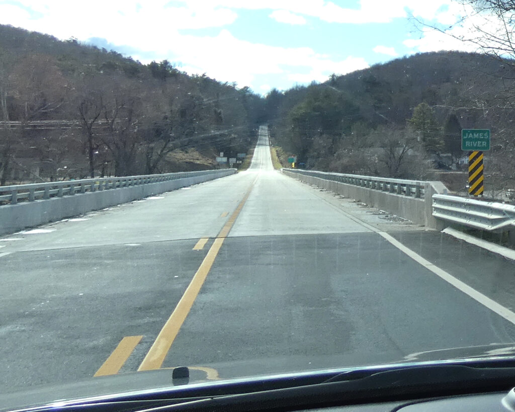
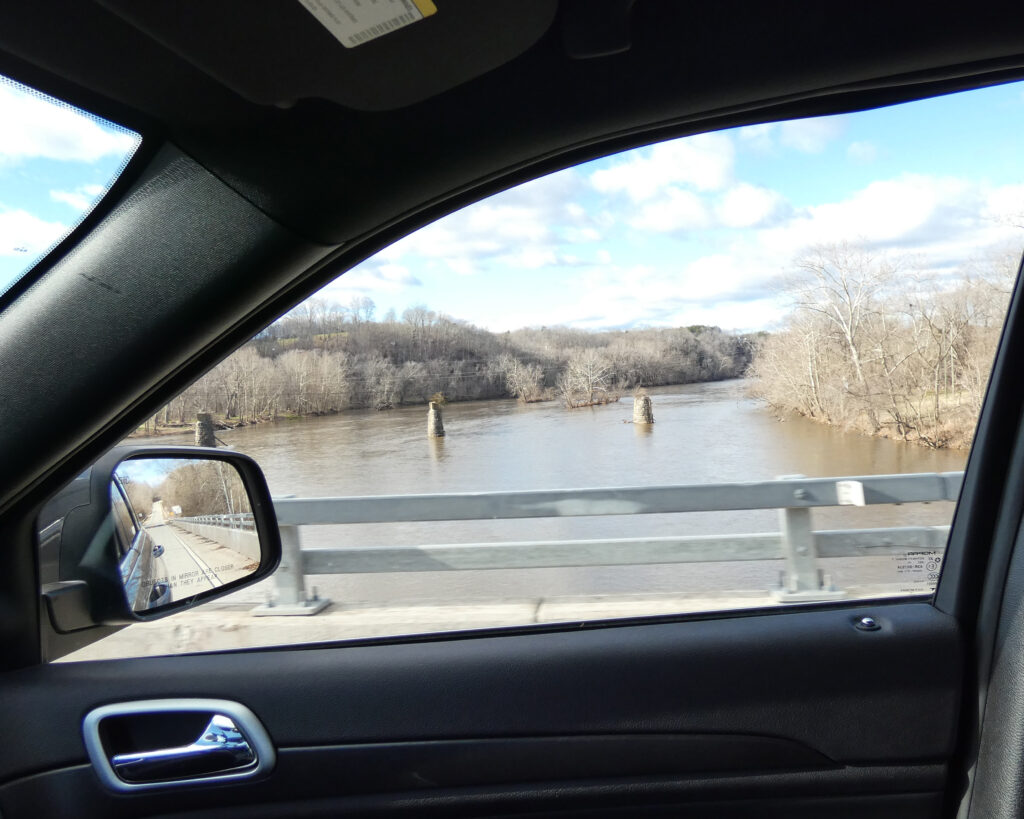
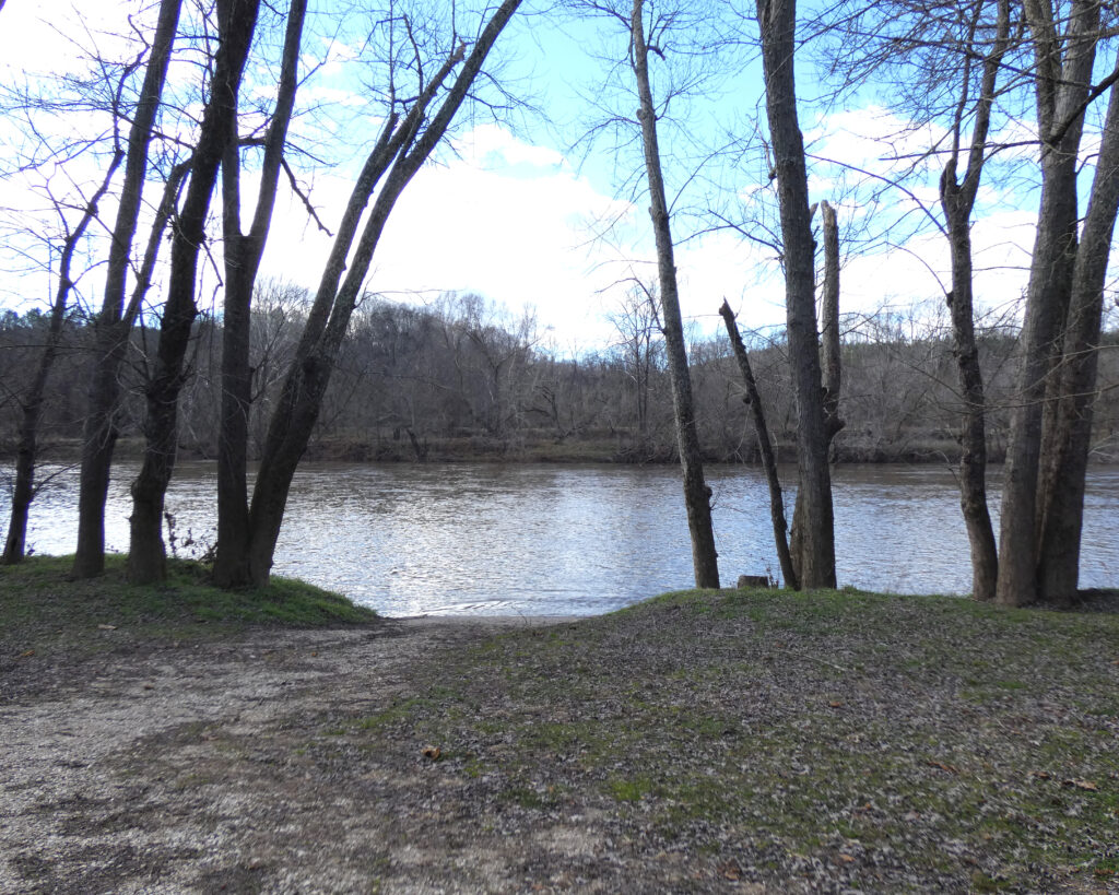
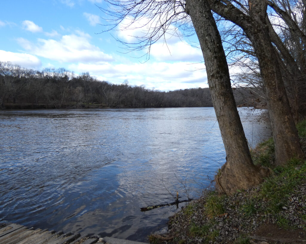
Once in the park, I went to the canoe launch area first, just for a few up close and personal minutes. Hello, you big ol’ beautiful river….
I then drove through the section where there are a number of cabins, and I was delighted to see that several of them were occupied. Some of the larger cabins (or lodges) seemed to have multiple families staying together in them–what fun! I also wanted to re-visit the campground, but unfortunately the gates were shut since it’s closed for the winter.
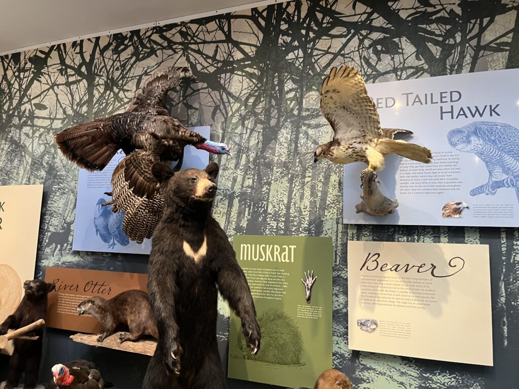
Next stop was the visitor center. I always enjoy looking at the exhibits–and I did buy a new jacket (it’s the green one).
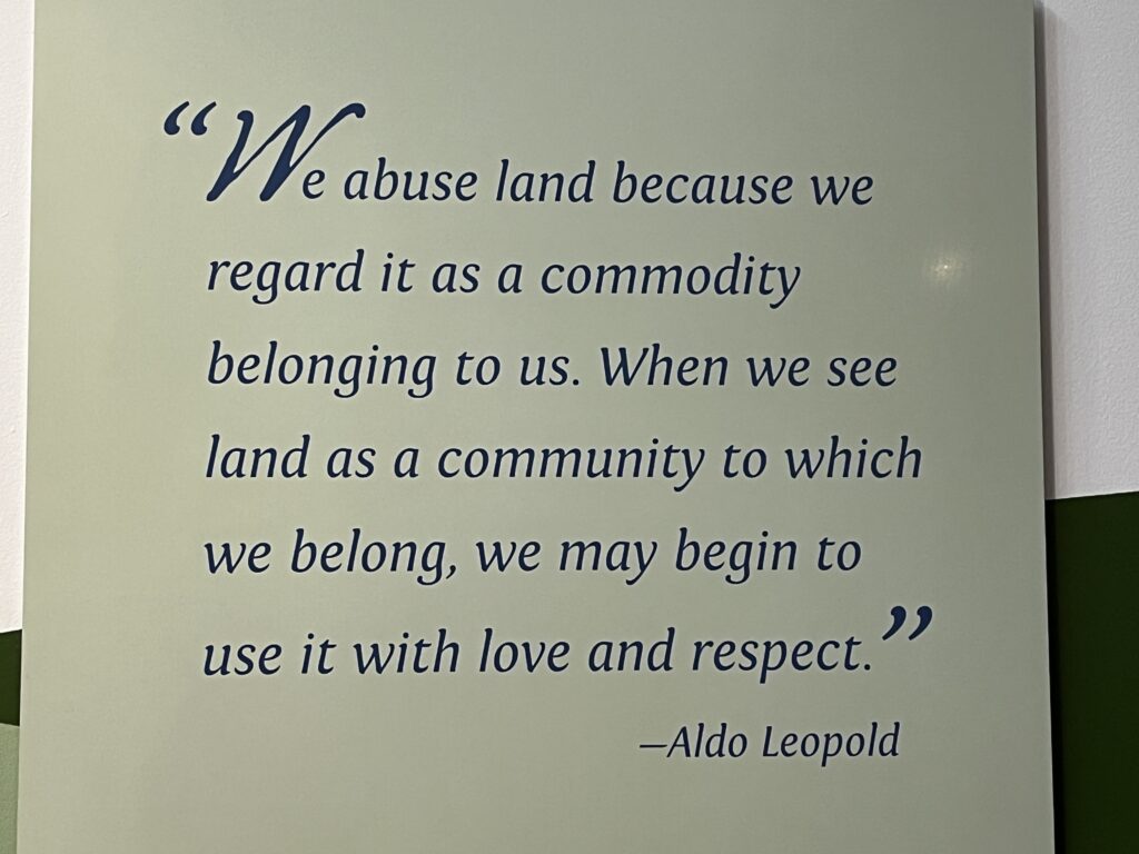
And every single time I’m at this park, I photograph this sign because I agree with the sentiment:
There were going to be two different guided hikes leaving from the visitor center at noon, and this wasn’t something I planned to do. Like seriously, not what my significantly out-of-shape self was there for! But when one of the rangers said that the “Wetlands Hike” was primarily flat, I decided to try it, even though I was certainly the oldest person in that particular group. (Now I guess it’s possible that in dog years a 13 year-old long-haired dachshund named Ruby who was in my group was “older” than I am–but her “parents” said she’s been to 16 state parks so far and she doesn’t seem to get tired unless the hike is longer than 3 miles… Alrighty…)
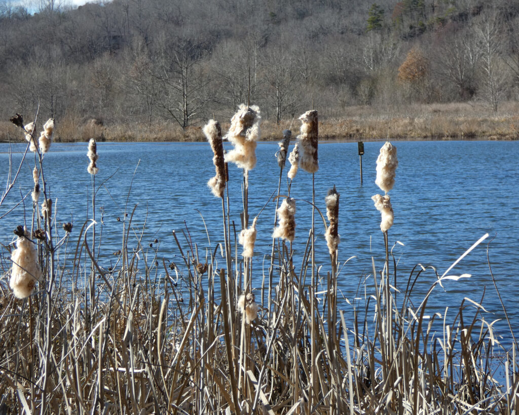
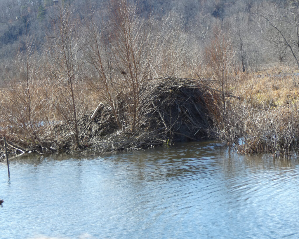
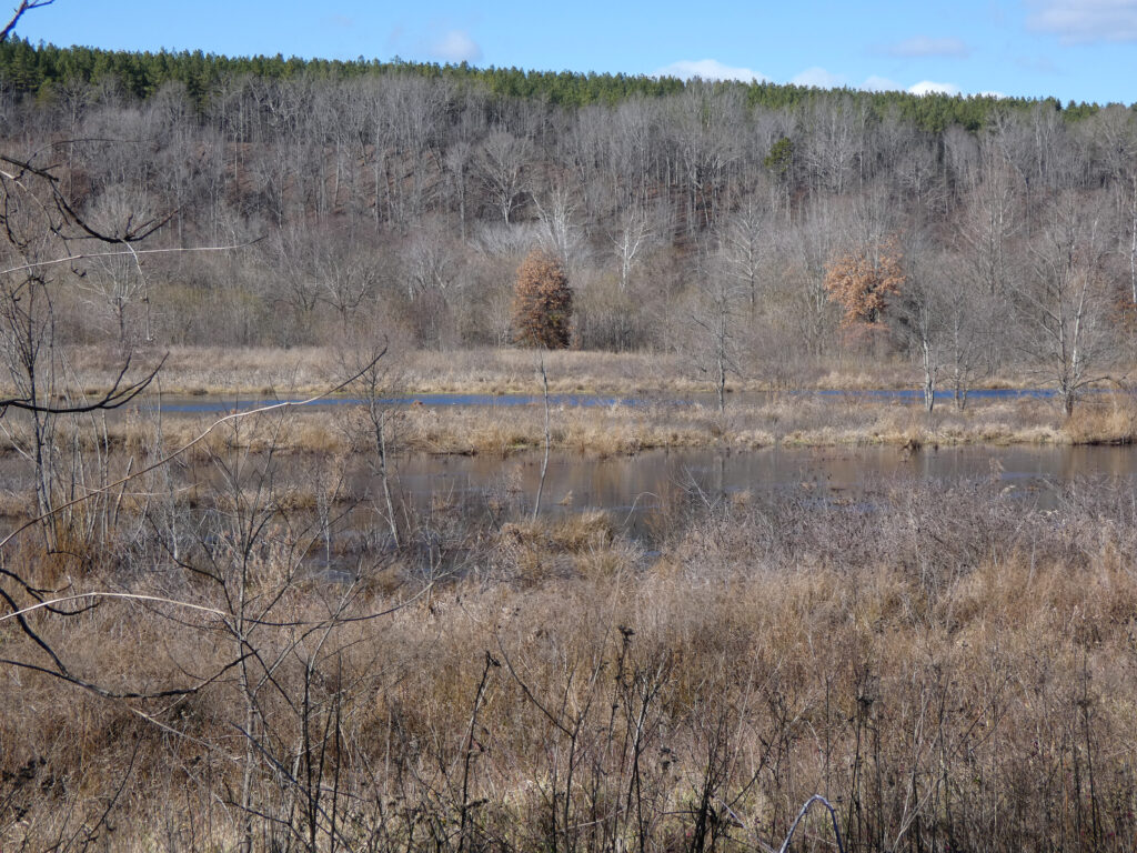
In all the times that we visited the park, this is a trail that Wayne and I never explored. The first part was down hill from the visitor center (so I figured the last part would be up the same hill…) but it did level off near a pond where there were cattails and a beaver lodge:
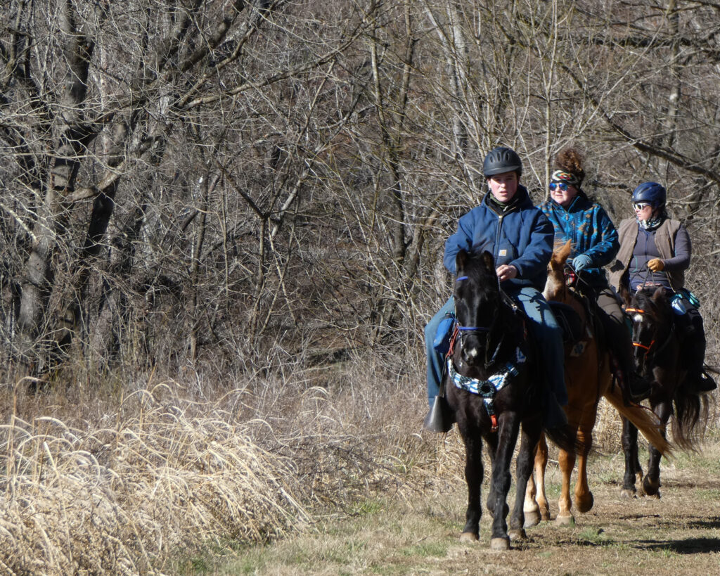
There were several horses and riders in the park (yes, that’s a most excellent way to “hike,” I’d say) and our group stood quietly to the side of the trail to let them pass.
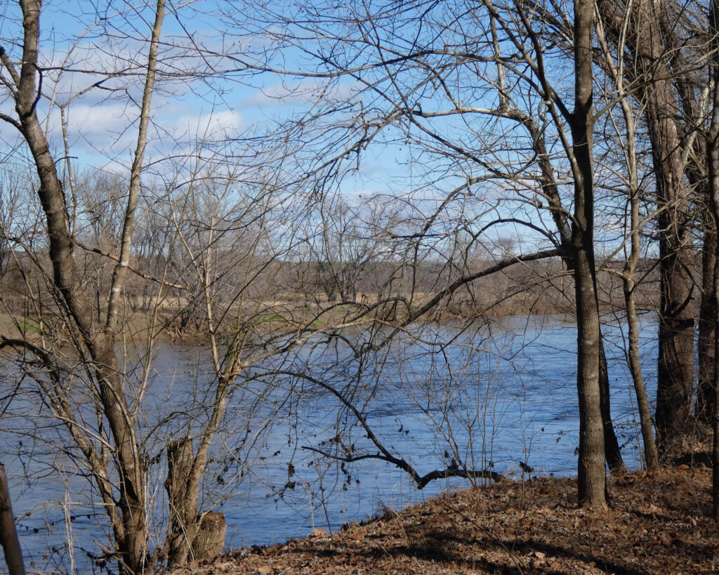
After leaving the pond, the next part of the trail was along the river.
Our guide stopped frequently to share information about various plants or animals, but oddly, this time I didn’t see hawks, ducks, geese, herons, or any wildlife other than some tiny birds and a few vultures.
After a long stretch along the river, the trail curved to the left and we found ourselves at the far end of the pond. I didn’t take any pictures, but there were several trees there that had been taken down by beavers, leaving triangular stumps. (Fun fact: Beavers are the largest rodent in North America, and the second largest in the world. The largest is the capybara.)
After a minor uphill trek (pant, pant), we completed the loop around the pond. I paused to take a picture of my totally wind-blown, hat-haired, not-dying-yet self.
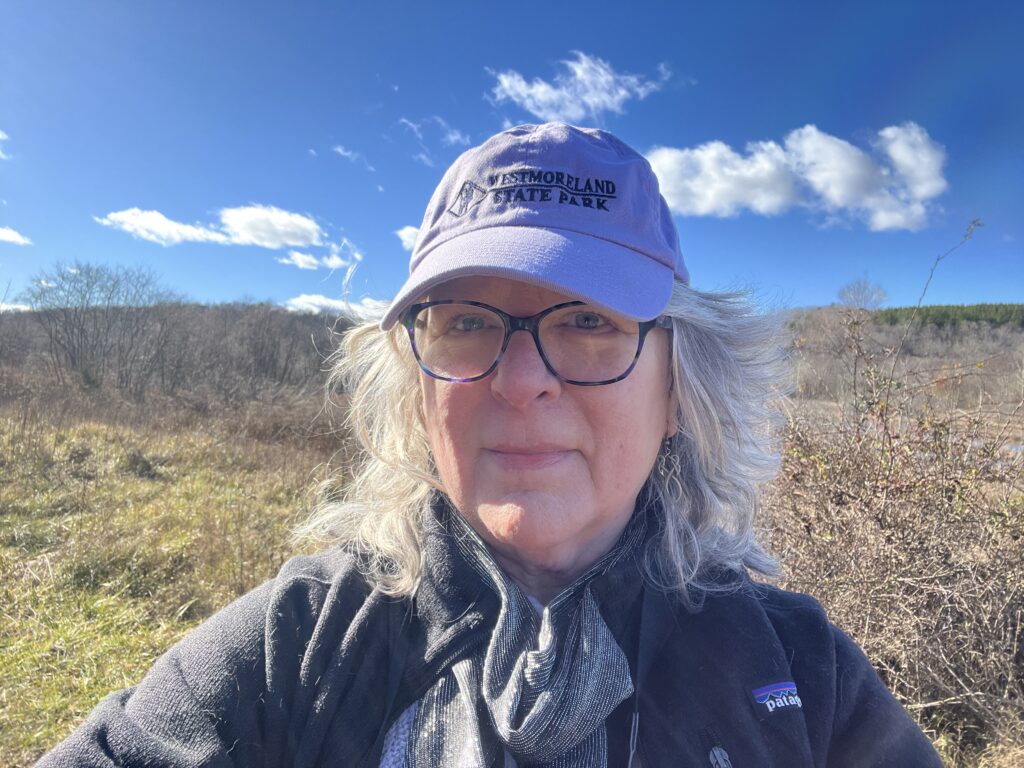
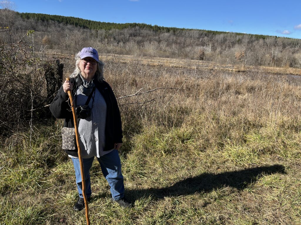
I then asked Ruby’s “dad” to take a picture of me, which he did. All my layers (shirt, sweater, scarf, coat) felt quite good in the shady sections of the trail, especially when the wind was blowing (it was in the mid-40s when we started), but it was much too warm in the sun. By that time, though, I figured it was easier to wear it than carry it.
The climb back up the hill towards the visitor center wasn’t much fun–especially since it was at the end of the hike. Carrying a camera, however, always provides a valid excuse to stop to take a picture or two (while catching one’s breath). This Wetlands hike took just under an hour and a half, factoring in the brief stops along the way.
When I got back to my car, there were a couple of things I wanted to do before I left the park. First stop was Dixon Landing. I couldn’t get exactly where I wanted to be given that there were people around, but I was close enough–and discreet… IYKYK.
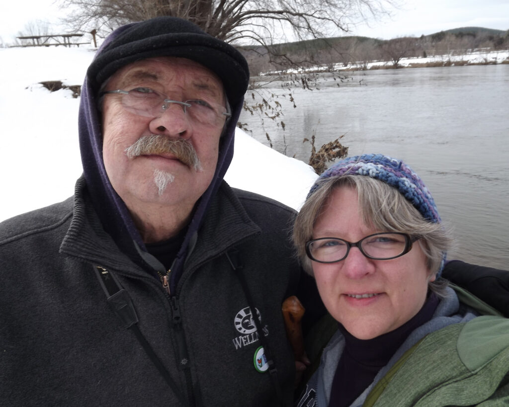
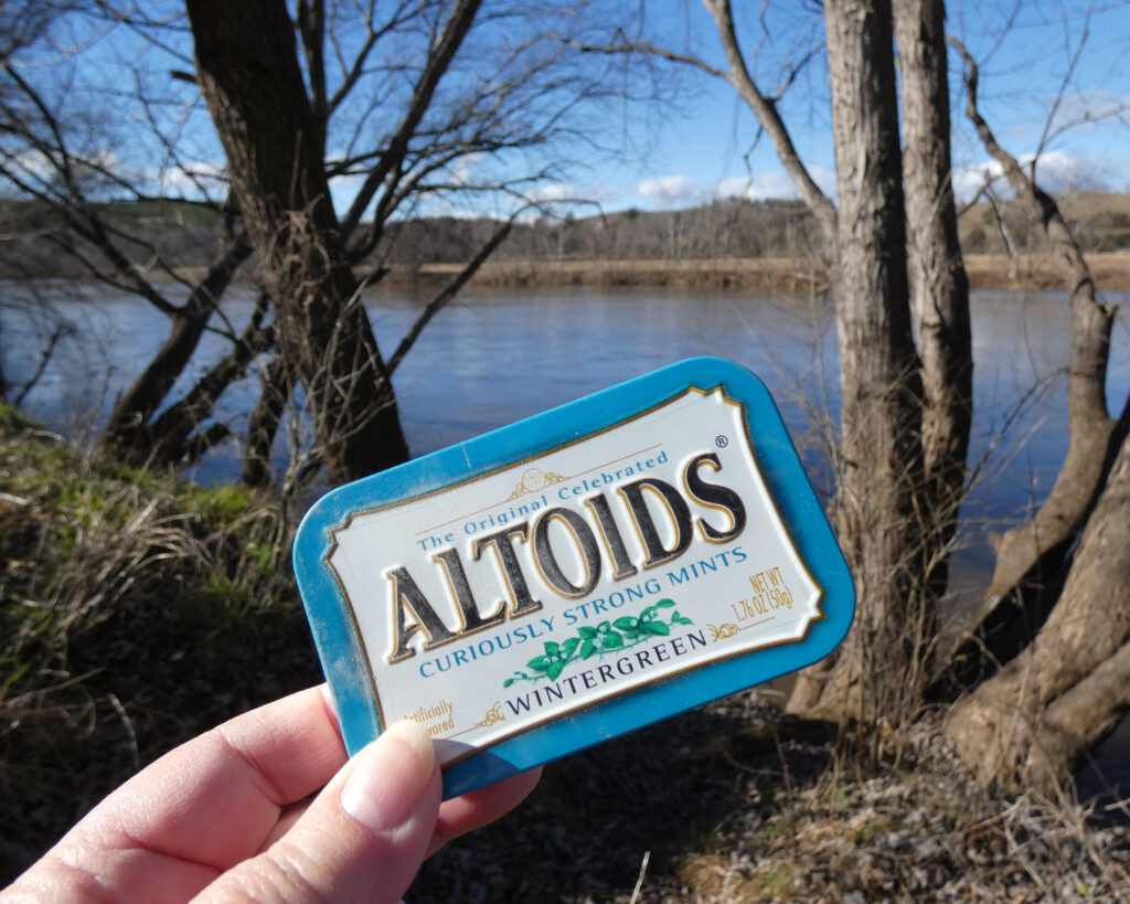
I then went back to the canoe launch area (with my Altoids tin in hand), still focused on honoring special places and memories from other times Wayne and I were there over the years…
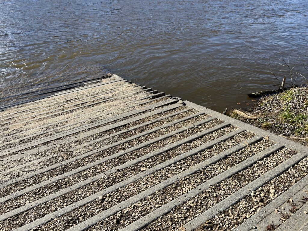
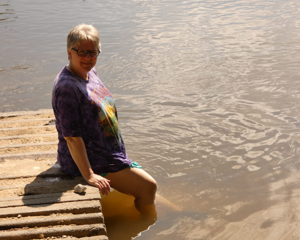
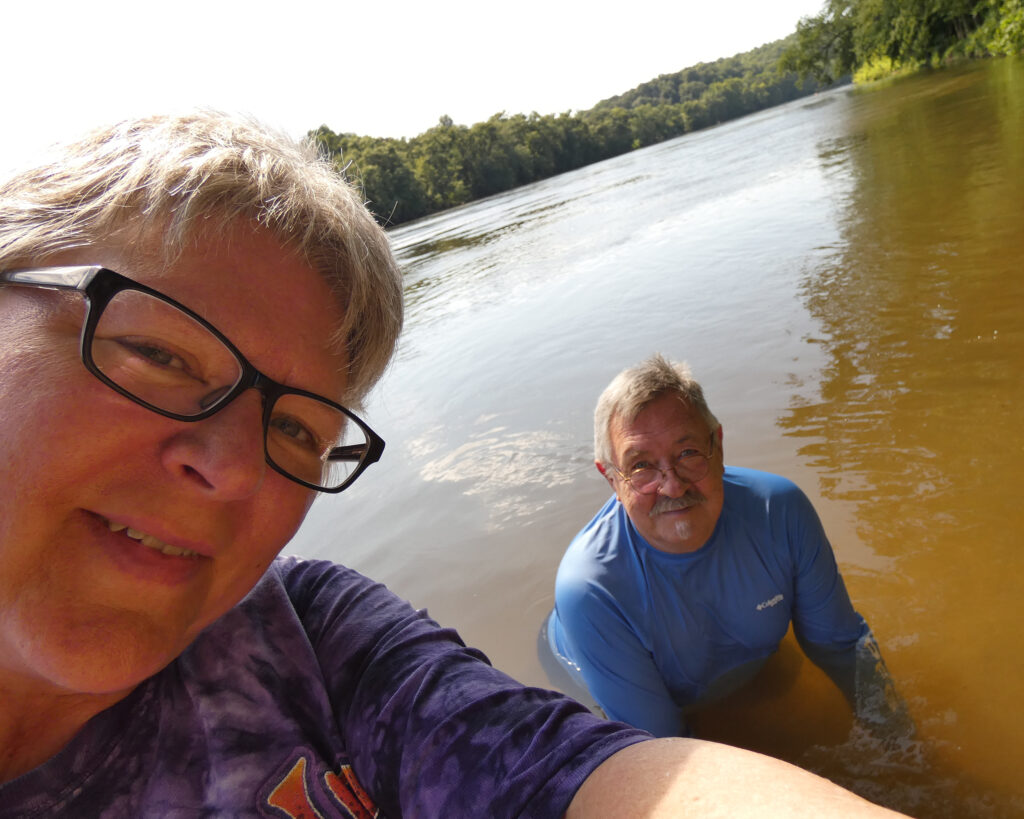
Thank you, James River State Park, for another enjoyable visit–and for a real “First Day Hike”!
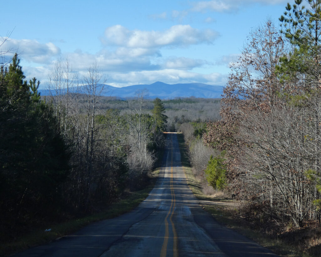
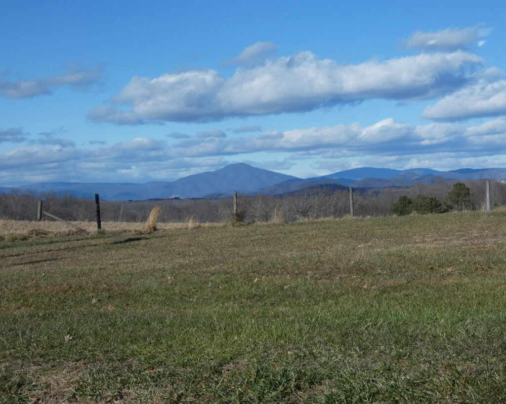
Heading home and driving northwest, Tye River Road offers some stunning mountain views each time you pop over a hill…
Once on Rt. 29 North, I made a quick stop at the SPCA where I’d adopted Lilith and Xena last May.
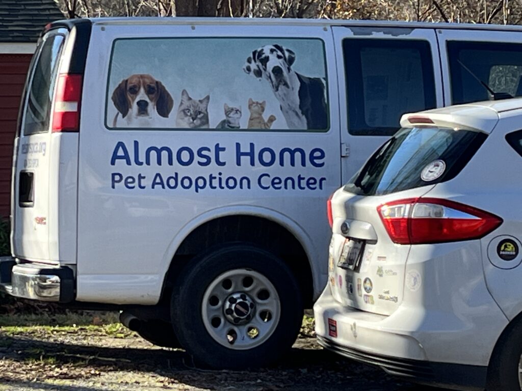
In addition to donating several blankets for them to use in the cat cages, I (of course) told the employees and volunteers that I had adopted the best girl kitties in the whole world. (And yes, of course, I showed them several pictures.)
I made one more brief side trip before heading home:
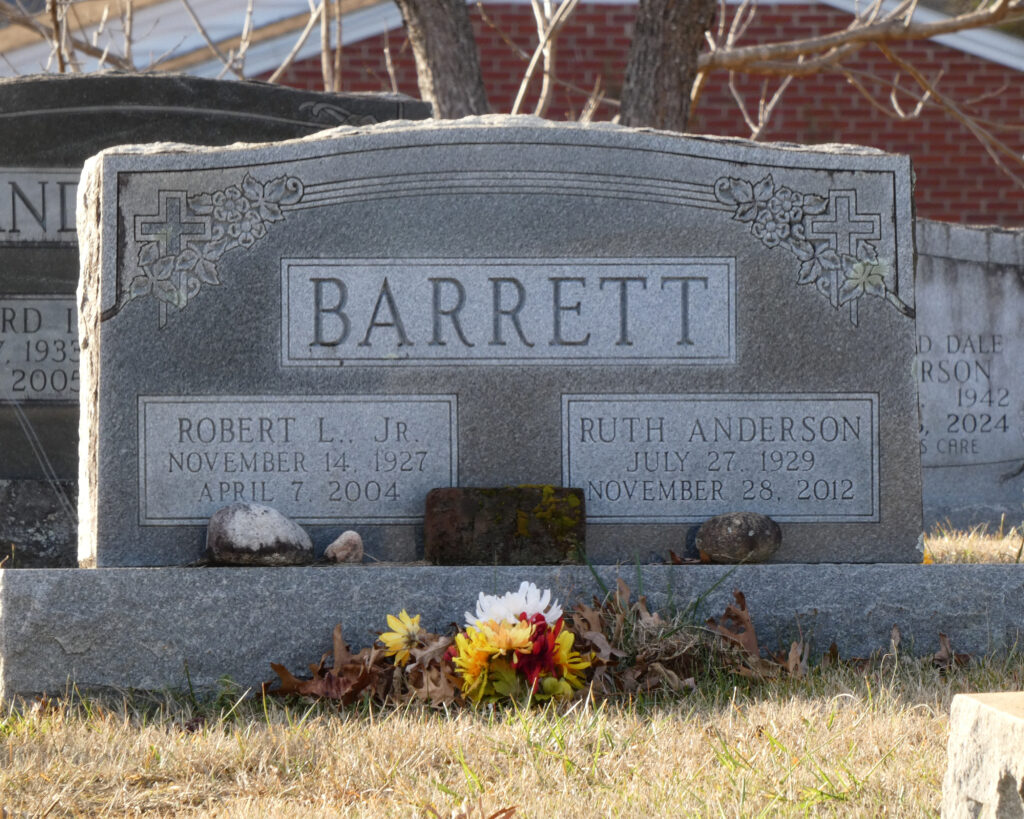
So while I still feel that adventures are best shared, I’m realizing that in order to do the things that I enjoy doing–such as being out in nature, traveling, camping, etc.–sometimes (or perhaps most of the time…) it will mean going solo. And you know what? That’s okay.
~ Sharon
