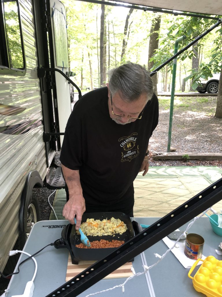
With so many more people camping since the start of the pandemic, it’s been hard to find campsites–especially at state parks. We were delighted when a midweek cancellation opened up a site at Smith Mountain Lake State Park in early August! We arrived on a Tuesday afternoon and got set up in site # 5.

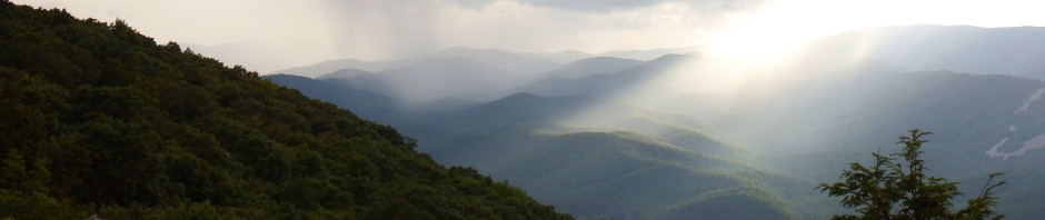
Smith Mountain Lake may only be 2 hours away from home for us, but it’s a whole different, beautiful world….


When we camped at SML last summer, we stayed in the park the whole time–which was great. This time we were interested in exploring the surrounding area. On Wednesday morning we decided we’d drive to the southeast end of Smith Mountain Lake to see the dam and visitor’s center.


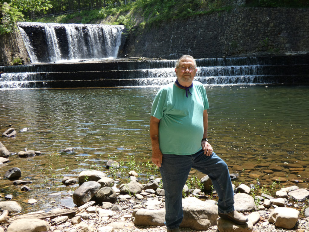
It took us close to an hour to get from the state park to the dam, and once we were on the property (and not a moment before!), we saw a sign stating that the visitor’s center and observation area (above the dam) were closed! We could see the back side of the dam, but that was about it. Alrighty….


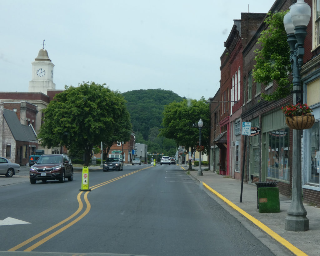
Regrouping, we chose to do a drive around the southern side of the lake instead of going back to the state park the way we’d come. After traveling on some bonafide backroads, Rt. 40 near Pen Hook, VA took us west to Rocky Mount where we got on Rt. 122 North. We made an impromptu stop at a roadside fruit stand, and the peaches and blackberries (and fruit tarts) we got were amazing!


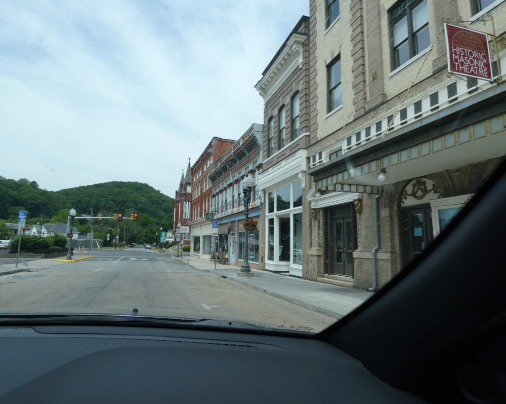
Rt. 122 is also called “Booker T. Washington Highway,” and our next unscheduled stop was at the Booker T. Washington National Monument. At the visitor’s center we watched a short video about this man who was born as an enslaved person on the property, but who went on to become an educator, author, and adviser to several U.S. presidents.


Having successfully circumnavigated Smith Mountain Lake, we had a better feel for the general area and became more familiar with some of the major roads, backroads, and stores. Good reference for future trips. 🙂
That evening, we wanted to try a restaurant that fellow campers had recommended. “Jake’s Place” is about 10 miles from the state park, and well worth the drive. We opted to sit outside, and we enjoyed seeing all of the boats (including vintage/antique boats) that were coming and going at the marina. We also greatly enjoyed an appetizer of mussels (sautéed in wine, butter, and garlic) and our meals!


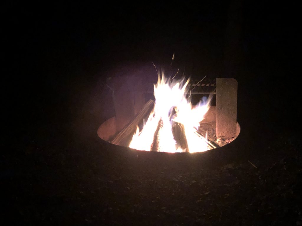
After an amazing and delicious dinner, it was very nice to come back “home” to the campground and spend the evening relaxing by a campfire.


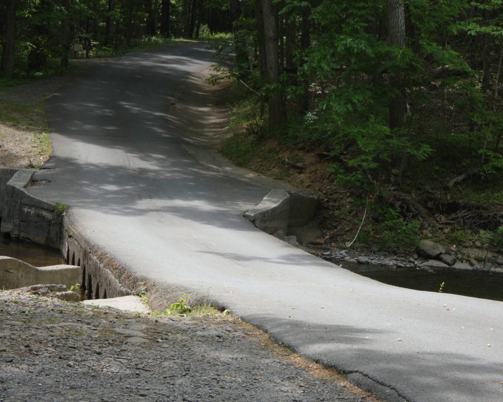
The next morning we were ready to check out some of the park’s trails. Rated as “moderate” and 1.4 miles, the Turtle Island trail seemed like a good option. We paused, first, to bless the waters of Smith Mountain Lake.


The actual island is accessed via a small bridge.


View of the state park’s beach from Turtle Island. (Actual distance and zoomed in.)


The walk back to the parking lot was where the “moderate” rating came from. While it wasn’t particularly steep, it was a long, steady uphill trek. At least it was mainly shaded!

Originally we’d just been able to make camping reservations for Tuesday, Wednesday, and Thursday nights–and felt lucky for that!–but thanks to another cancellation, we were able to extend our stay to include Friday and Saturday nights. Yes! This was the longest we’d stayed in any campground this summer, but we’re so glad we had extra time to explore and enjoy–we really weren’t ready to leave!
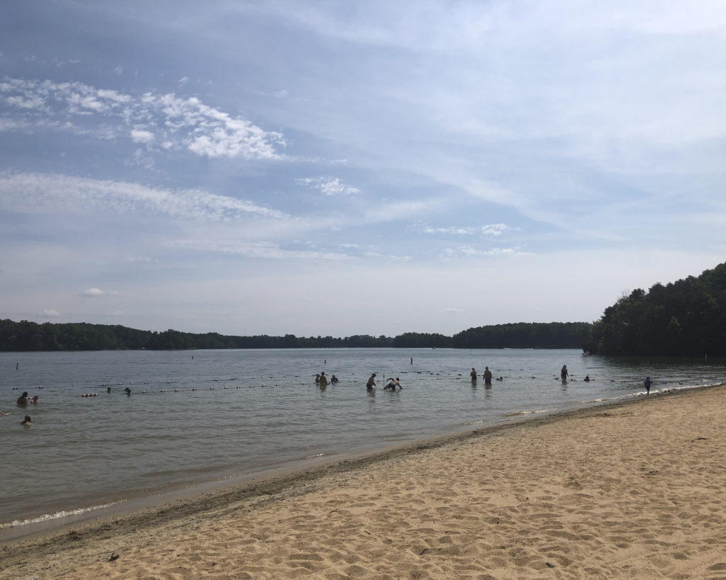
On Friday we finally made it to the lake for swimming! The water was just cool enough to be refreshing. During the time we were at the park, the temperatures were mainly in the mid-80s; quite pleasant, actually, for late summer.


On Saturday we drove to Bridgewater Plaza and Marina (an area we’d passed through on Wednesday), hoping to visit some of the shops there. Well, weekends are really busy at Smith Mountain Lake and when we couldn’t find a parking space, we started back towards the campground. Impulsively turning onto a side road, we found ourselves at Hickory Hill Vineyards, which proved to be an excellent decision.


The whole (extended) trip to Smith Mountain Lake was an excellent decision….


I’m so very glad we were able to have this time at Smith Mountain Lake State Park. What a beautiful way to close out the summer!

Until next time,
Sharon & Wayne