
We weren’t able to get camping reservations for the weekend, so on Friday, July 26th we decided to do a day trip through the Shenandoah Valley. After crossing Afton Mountain, we drove north on Rt. 340.
One of our first stops was at the North 340 Campground. While it’s not somewhere that we’d be likely to camp, it certainly seems like a popular place. We saw lots of trailers and RVs with out-of-state license plates, so it’s probably a good “home base” from which to explore all that this part of Virginia has to offer.
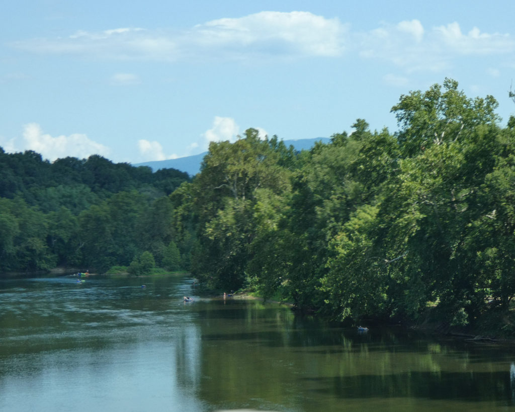
North of Elkton, VA, we turned right on Grove Hill River Road (Rt. 650) to access the south fork of the Shenandoah River. The river seemed a little low, but Eastern Tiger Swallowtails were happily “puddling” in the mud along its banks.


The Shenandoah Valley saw intense fighting during the American Civil War. These two informational markers are near the river on Grove Hill River Road:


Downstream view of the Shenandoah River:

We continued traveling north, occasionally catching glimpses of the Shenandoah River which winds its way through the Valley.


Aside from the amazing scenery, the big draw in this part of the Shenandoah Valley is Luray Caverns, the “largest and most popular” caverns in the eastern United States:
Near Luray, we turned east on Rt. 211, and this took us by Yogi Bear’s Jellystone Park Camp-Resort. While again not somewhere we’d be likely to camp, we could certainly understand how vacationers with young children might really enjoy this!
After a quick tour of the campground, we continued to follow Rt. 211 up to the top of the mountain. We entered Shenandoah National Park via “The Skyline Drive” at the Thornton Gap entrance.


We turned south, and within a few minutes we were driving through Mary’s Rock tunnel:

Earlier in the afternoon–somewhere near Elkton–we’d passed an antique car that was heading south. I’d commented at the time that it looked “original,” and I wondered if it had been owned by the same person since the 1930s.
Well, imagine our surprise when we saw this car (a 1939 Chevrolet) on the Skyline Drive–hours and miles later! We stopped, and Wayne asked the older gentleman who was driving it if it would be okay to take some pictures:


I’ve always referred to little coincidences such as this as “cosmic mile markers;” I feel they let me know that where I am is where I need to be. So after taking some pictures and talking with the owner (who was not the original owner 😉 ), we continued our slow drive south, stopping at various overlooks that offered views to the east or to the west.


When we got to Big Meadows at Mile Post 51.2, we drove through the campground where there were enormous motorhomes, travel trailers, and vans, in addition to tents of every size and description. Even though there are no electric or water hookups available at Big Meadows, this large, popular mountaintop campground was completely full.


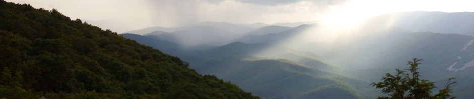
Further south (Mile Post 79.5), we also drove through Loft Mountain campground. As it was getting late, the only picture we took was of the spectacular early evening view of the Shenandoah Valley from the amphitheater.

We stopped again at the Moormans River Overlook, which is above the Sugar Hollow Reservoir.


And our final stop was at McCormick Gap, which is the last overlook on the southern end of the Skyline Drive. (For interactive maps showing all of the overlooks in Shenandoah National Park, you can click here.)


I was somewhat surprised by the number of people we saw at the McCormick Gap overlook. While there were a few out-of-state license plates on the cars, most of the people were probably locals who’d driven up the mountain from the Rockfish Gap entrance just for the purpose of relaxing and watching the sun set over the Shenandoah Valley. Beautiful….
It was nearly dark by the time we left the park and headed for home. We’d driven over 70 miles of the scenic 105-mile roadway, and had been on the mountain for close to 5 hours. It was time very well spent. 🙂

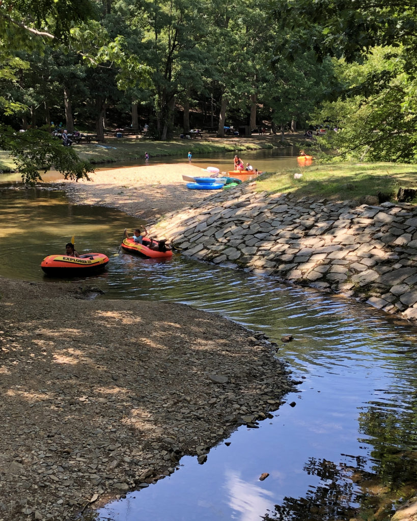
A couple of days later, we followed up this trip with a visit to Sherando Lake. When we’d camped at Sherando in June, we didn’t have a chance to go to the lake, so we made up for this on Sunday afternoon, July 28th. 🙂
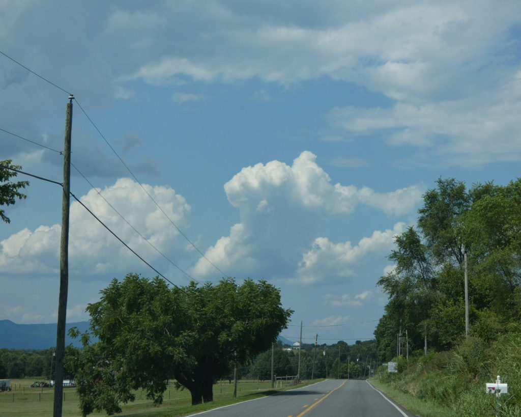
It was another beautiful, blue-skied day, and we enjoyed the 25-mile drive over the mountain to the lake.


Just gorgeous!

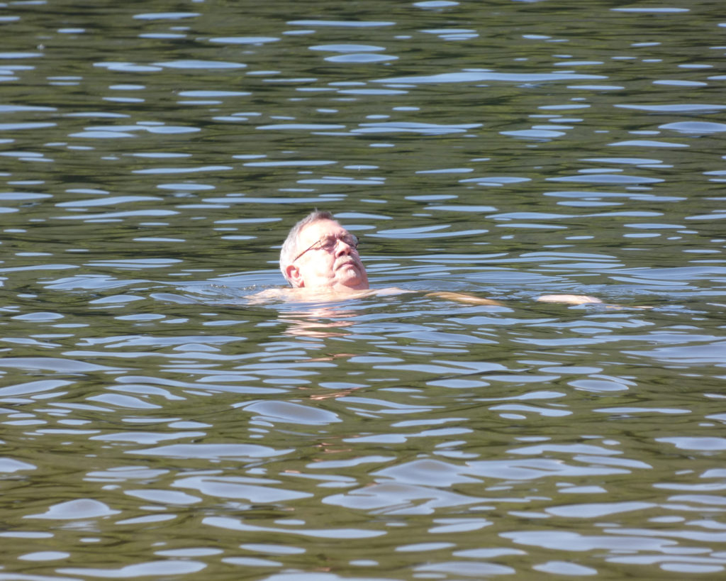
Wayne got right in the cool, mountain lake.
I’d planned to swim, but once I had my chair set up in the shade–and with the gentle breeze blowing–I decided I was happy right where I was!

Before leaving Sherando, we drove through the campground, wishing, wishing, wishing that we were returning to our sweet little trailer instead of starting the trek back over the mountain! 😉

Driving back towards the interstate on Mt. Torrey Road (Rt. 664), we noticed that Humpback Rocks on the Blue Ridge Parkway is easily visible from its west side, just as it is from its east side. Wayne was able to zoom in to show hikers at the summit! I haven’t made the climb up Humpback for years–and doubt that I will again–but the views are incredible from the top….

So even though we weren’t able to go camping this weekend, we’re thankful that we were able to continue to enjoy our summer break with these lovely day trips!
Until next time,
Sharon & Wayne